Uphill
391m

Length
10km
Duration
3h30min
Elev gain
391m
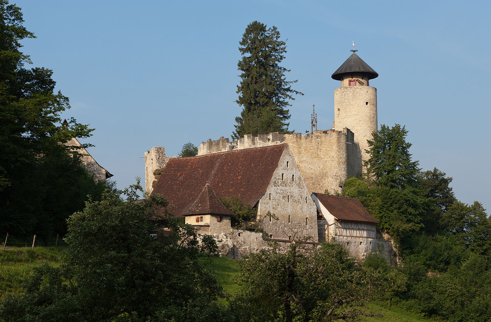
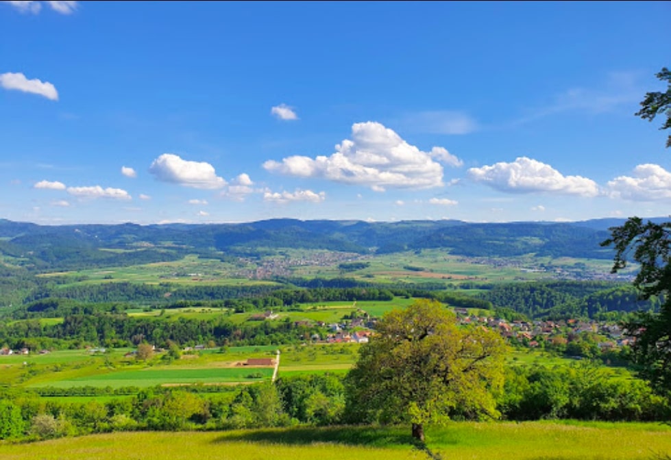
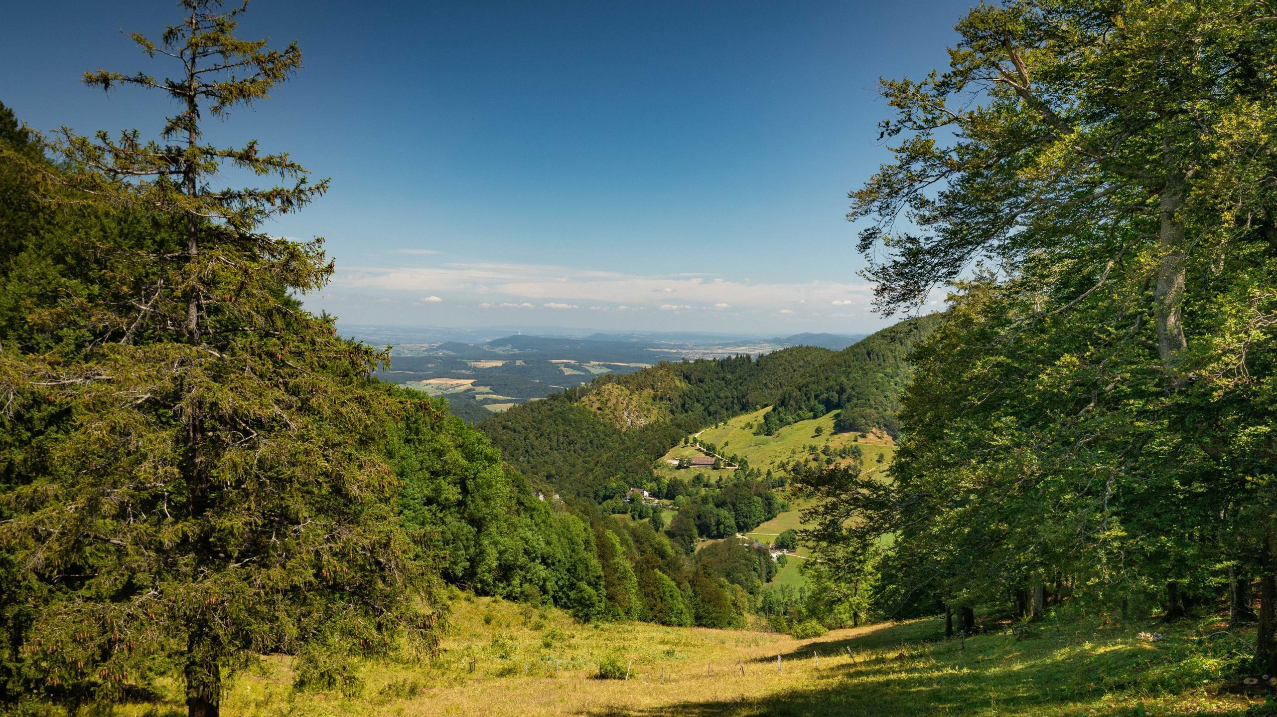
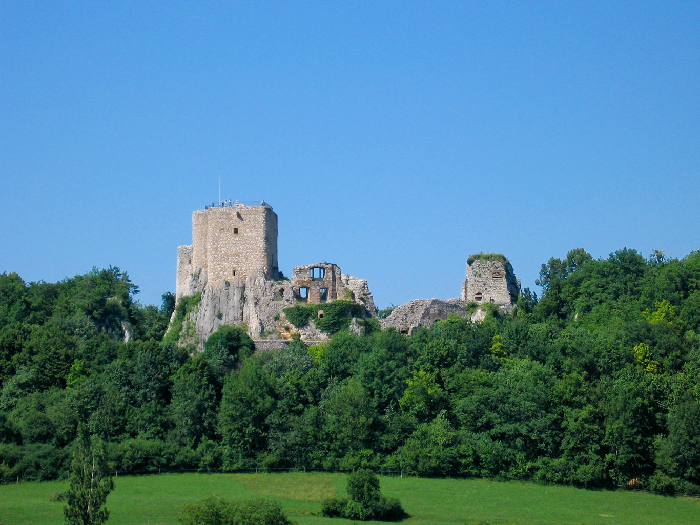
Nice hike between Grellingen and Zwingen. The route runs along the Birs then the Chastelbach to Himmelried, before arriving at the Ibach cave. The path then runs along the Ibach to Grellingerweg, passes through the Bättlerloch and then reaches Zwingen, the point of arrival. On the program: lovely views of the surrounding countryside, rivers and a small restaurant halfway.

Already more than 200,000 users!
Uphill
391m
Highest point
558m
Downhill
357m
Lowest point
322m
Route type
One way
Download the map on your smartphone to save battery and rest assured to always keep access to the route, even without signal.
Includes IGN France and Swisstopo.
Parking at the start of the hike.
Grellingen Station at the start.
Zwingen Station at the arrival.
I indicate whether dogs are allowed or prohibited on this trail
All year
2 ratings
Also enjoy:

Already more than 200,000 users!