Uphill
494m
Length
7km
Duration
3h30min
Elev gain
494m
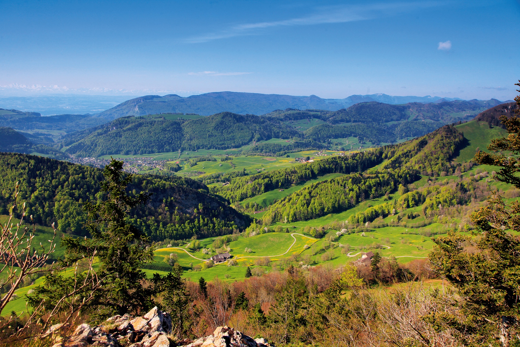
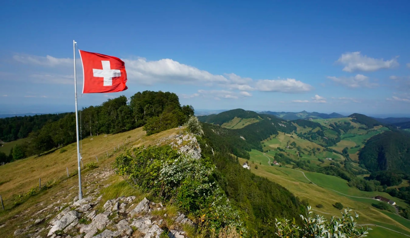
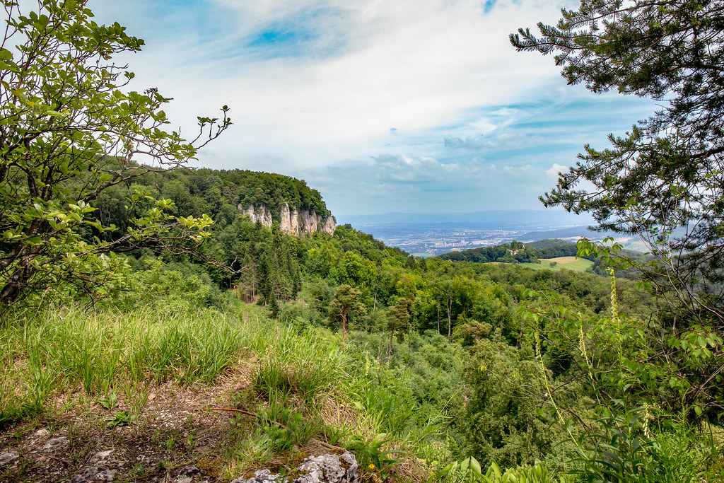
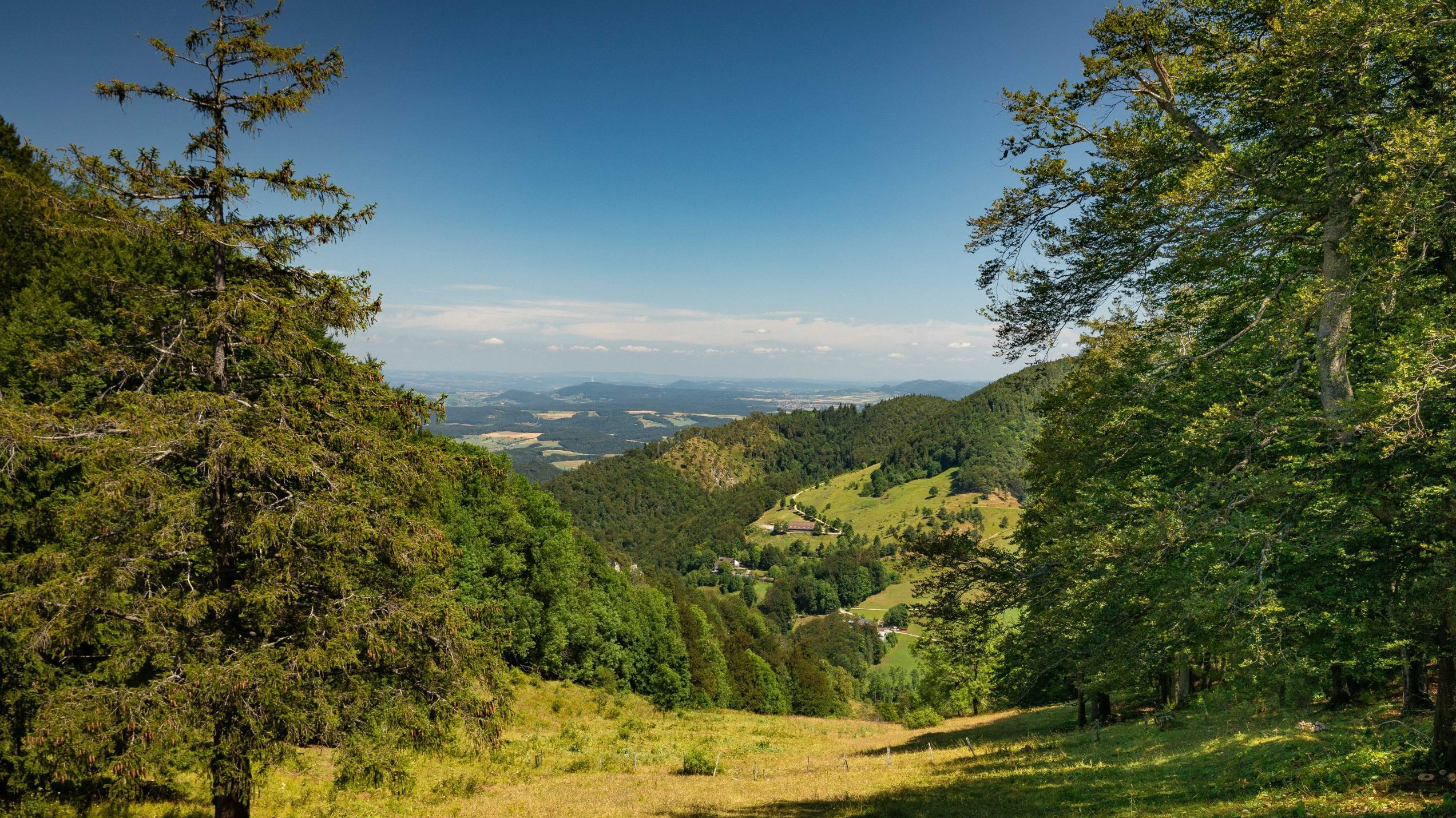
This round trip climbs up to Wasserfallen, runs along a river and takes place in a superb natural setting.
Note that it is also possible to go up or down via the Reigoldswil-Wasserfallen cable car.

Already more than 200,000 users!
Uphill
494m
Highest point
961m
Downhill
494m
Lowest point
536m
Route type
There and back
Download the map on your smartphone to save battery and rest assured to always keep access to the route, even without signal.
Includes IGN France and Swisstopo.
I indicate whether dogs are allowed or prohibited on this trail
Can be difficult in Winter
0 ratings
Also enjoy:

Already more than 200,000 users!