Uphill
422m
Length
6km
Duration
3h
Elev gain
422m
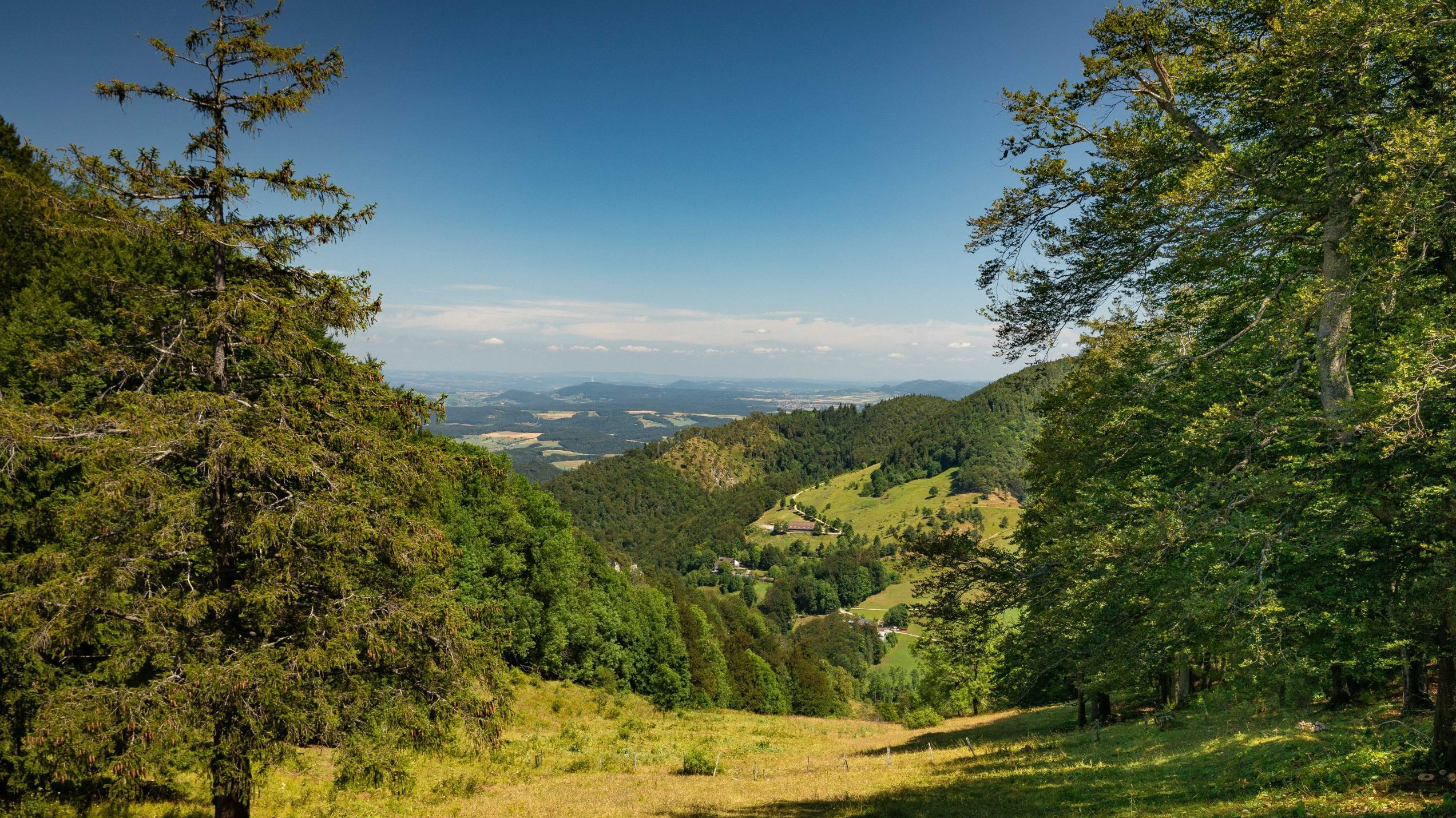
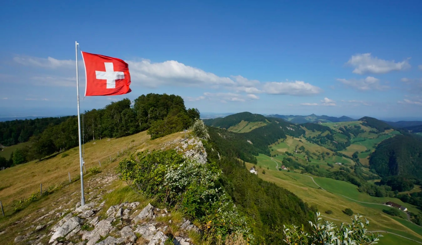
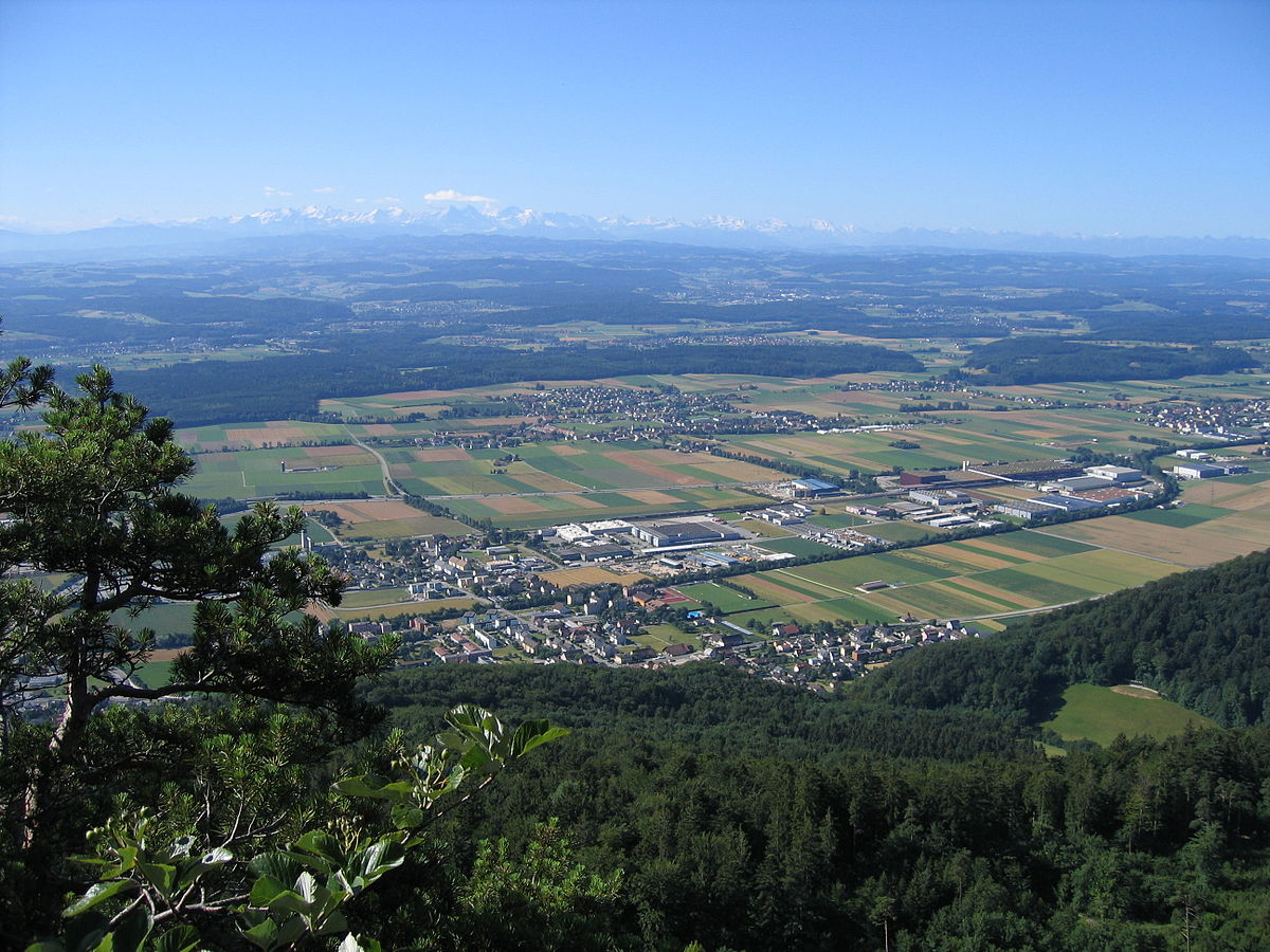
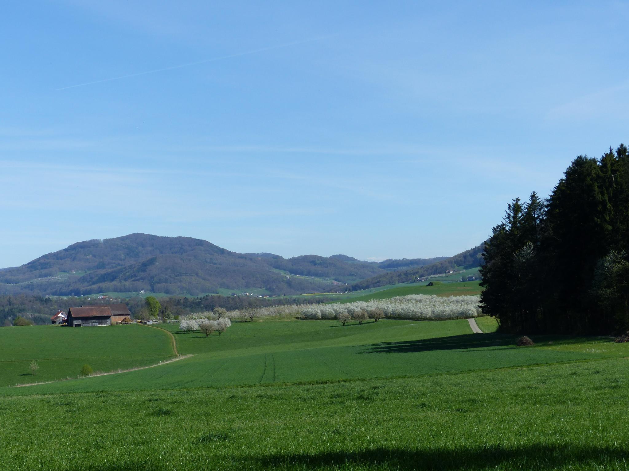
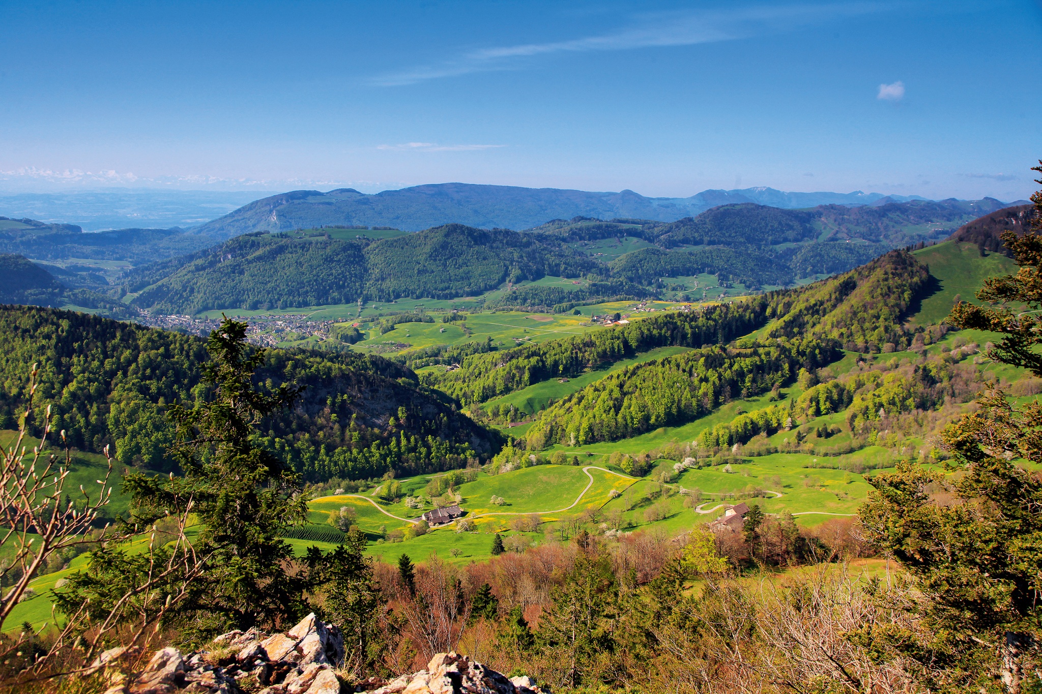
Departing from the Wasserfallen cable car station, this route explores the Hinteri Egg. The trail passes through pretty paths and offers great views of the surrounding valleys as well as the Black Forest.

Already more than 200,000 users!
Uphill
422m
Highest point
1164m
Downhill
422m
Lowest point
910m
Route type
Loop
Download the map on your smartphone to save battery and rest assured to always keep access to the route, even without signal.
Includes IGN France and Swisstopo.
I indicate whether dogs are allowed or prohibited on this trail
Can be difficult in Winter
1 rating
Also enjoy:

Already more than 200,000 users!