Uphill
353m
Length
12km
Duration
4h
Elev gain
353m
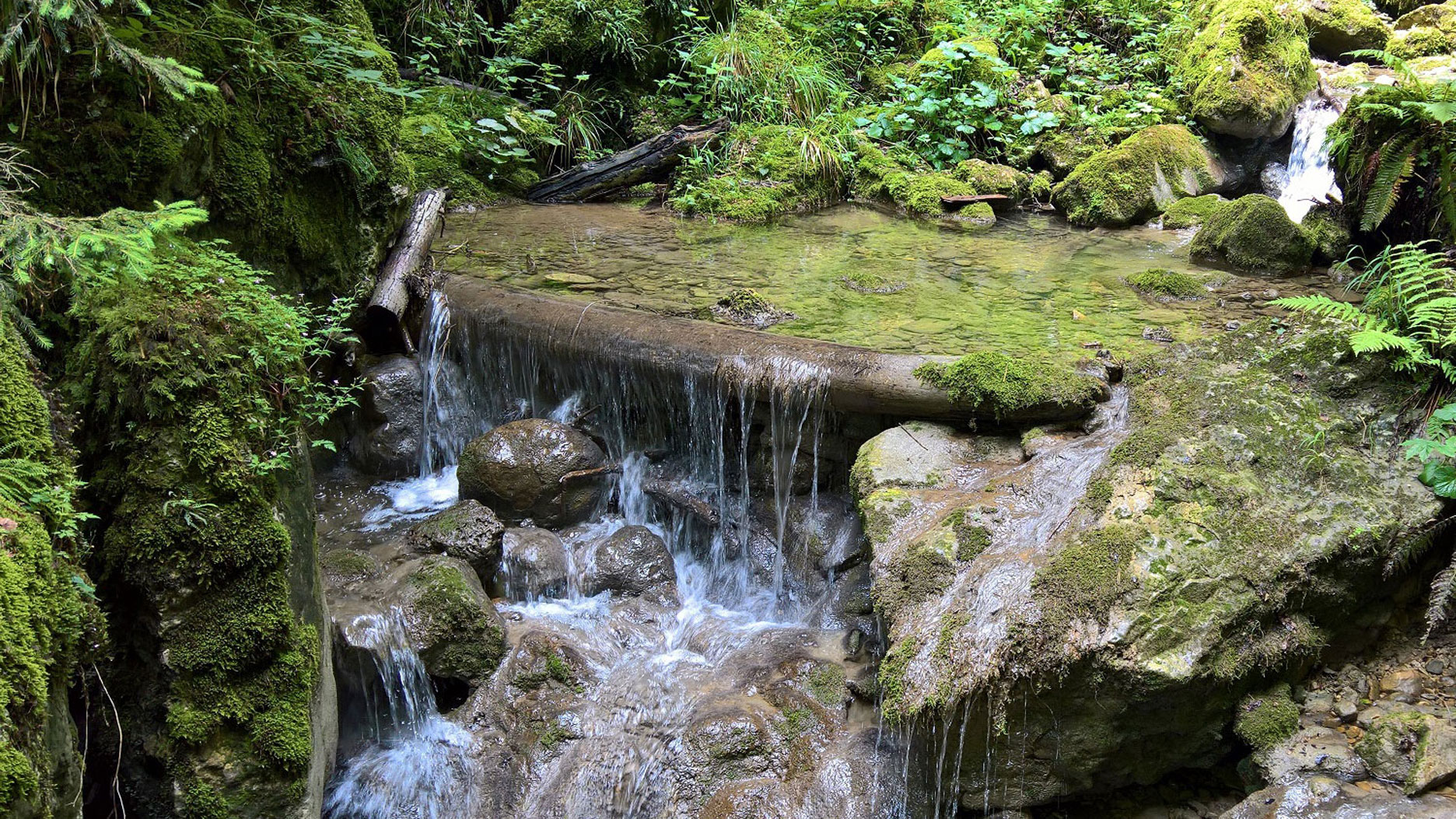
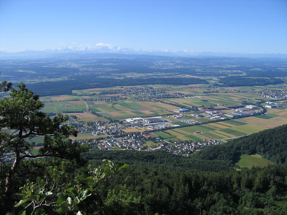
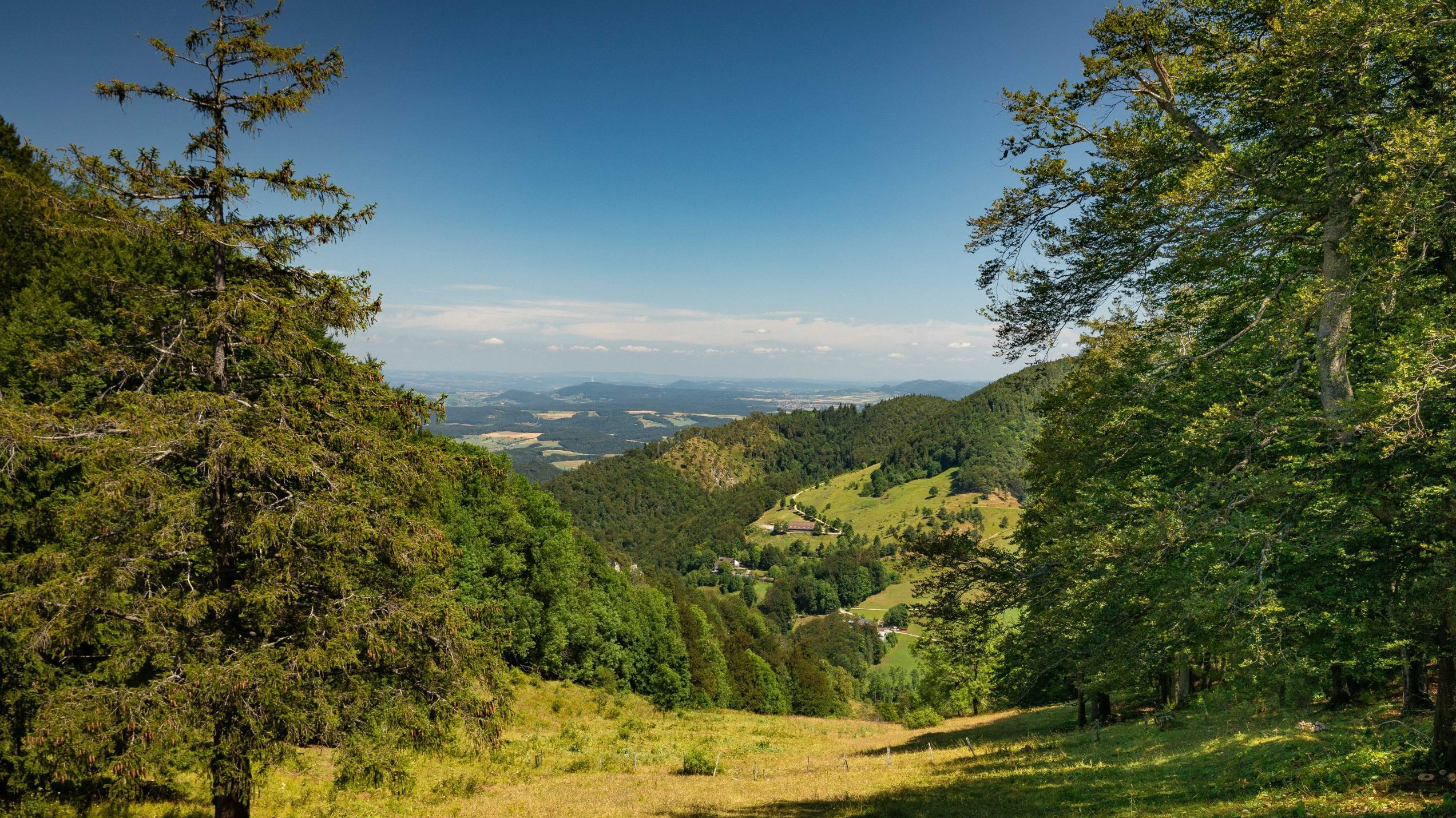
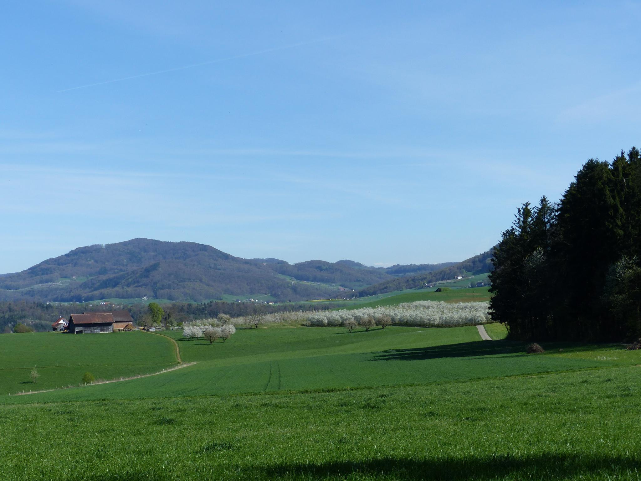
Here is a pretty hike that starts in Diegten, in the parking lot next to the Landgasthof Hirschen restaurant. The route then climbs higher into the Chilpe forest and then returns to the starting point via the Brunnenhof and Rütihof huts.

Already more than 200,000 users!
Uphill
353m
Highest point
639m
Downhill
353m
Lowest point
464m
Route type
Loop
Download the map on your smartphone to save battery and rest assured to always keep access to the route, even without signal.
Includes IGN France and Swisstopo.
I indicate whether dogs are allowed or prohibited on this trail
All year
0 ratings
Also enjoy:

Already more than 200,000 users!