Uphill
390m

Length
9km
Duration
3h30min
Elev gain
390m
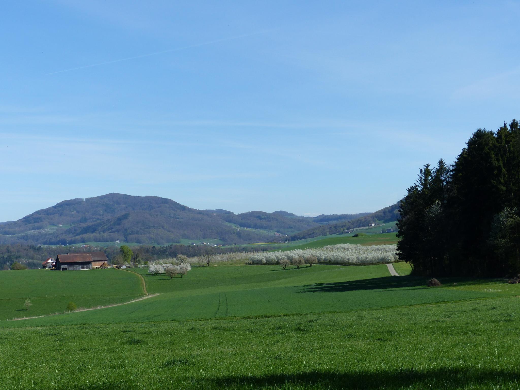
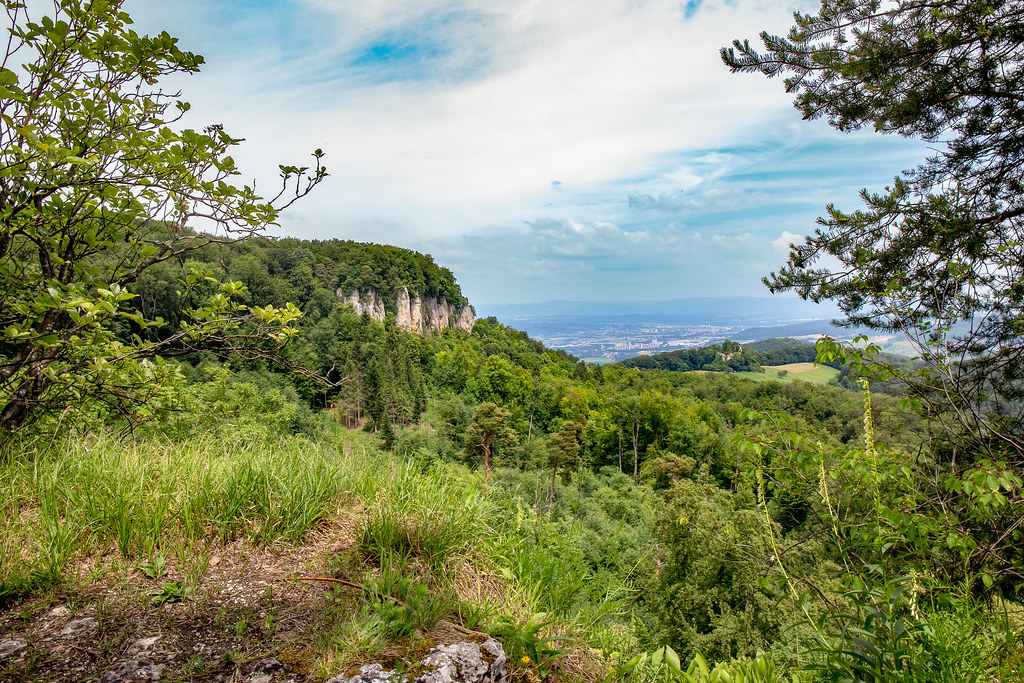
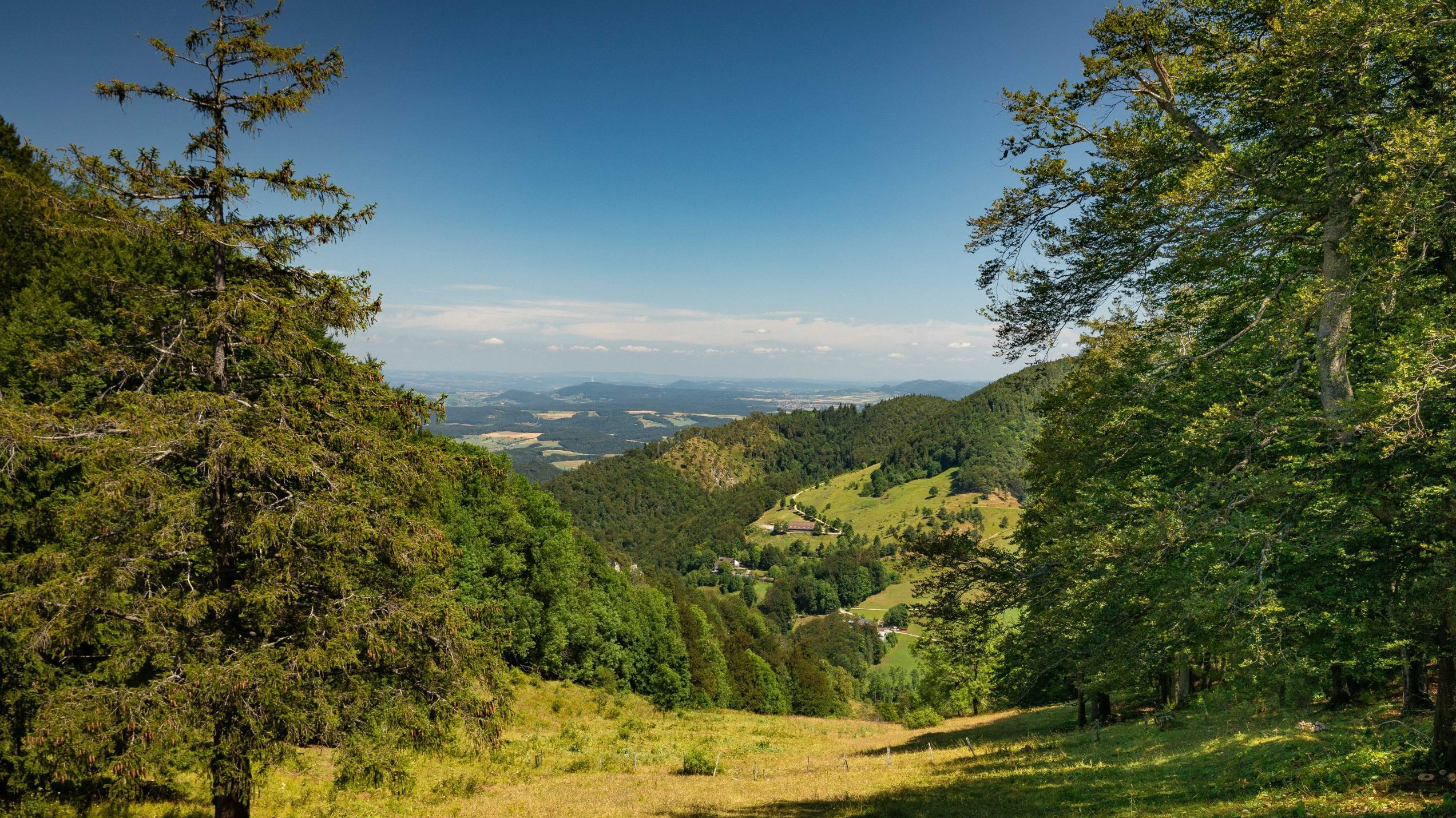
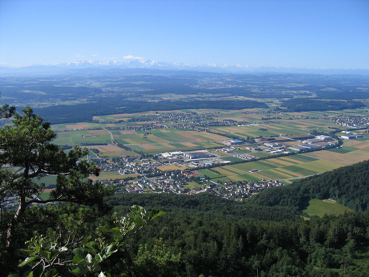
Departing from Sissach, very close to the Ergolz river, this route begins by crossing the old town in order to reach the hill around the Chienberg. From here, the route then loops on pretty forest paths around the Böckterflue and offers beautiful views of the surroundings.

Already more than 200,000 users!
Uphill
390m
Highest point
755m
Downhill
390m
Lowest point
373m
Route type
Loop
Download the map on your smartphone to save battery and rest assured to always keep access to the route, even without signal.
Includes IGN France and Swisstopo.
I indicate whether dogs are allowed or prohibited on this trail
All year
0 ratings
Also enjoy:

Already more than 200,000 users!