Uphill
458m
Length
11km
Duration
4h
Elev gain
458m
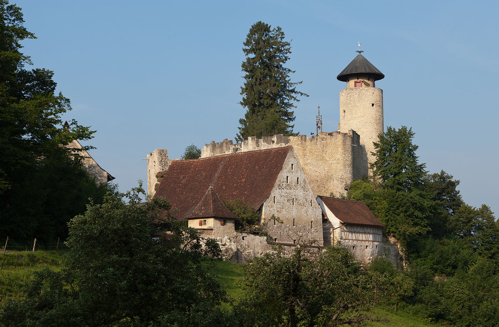
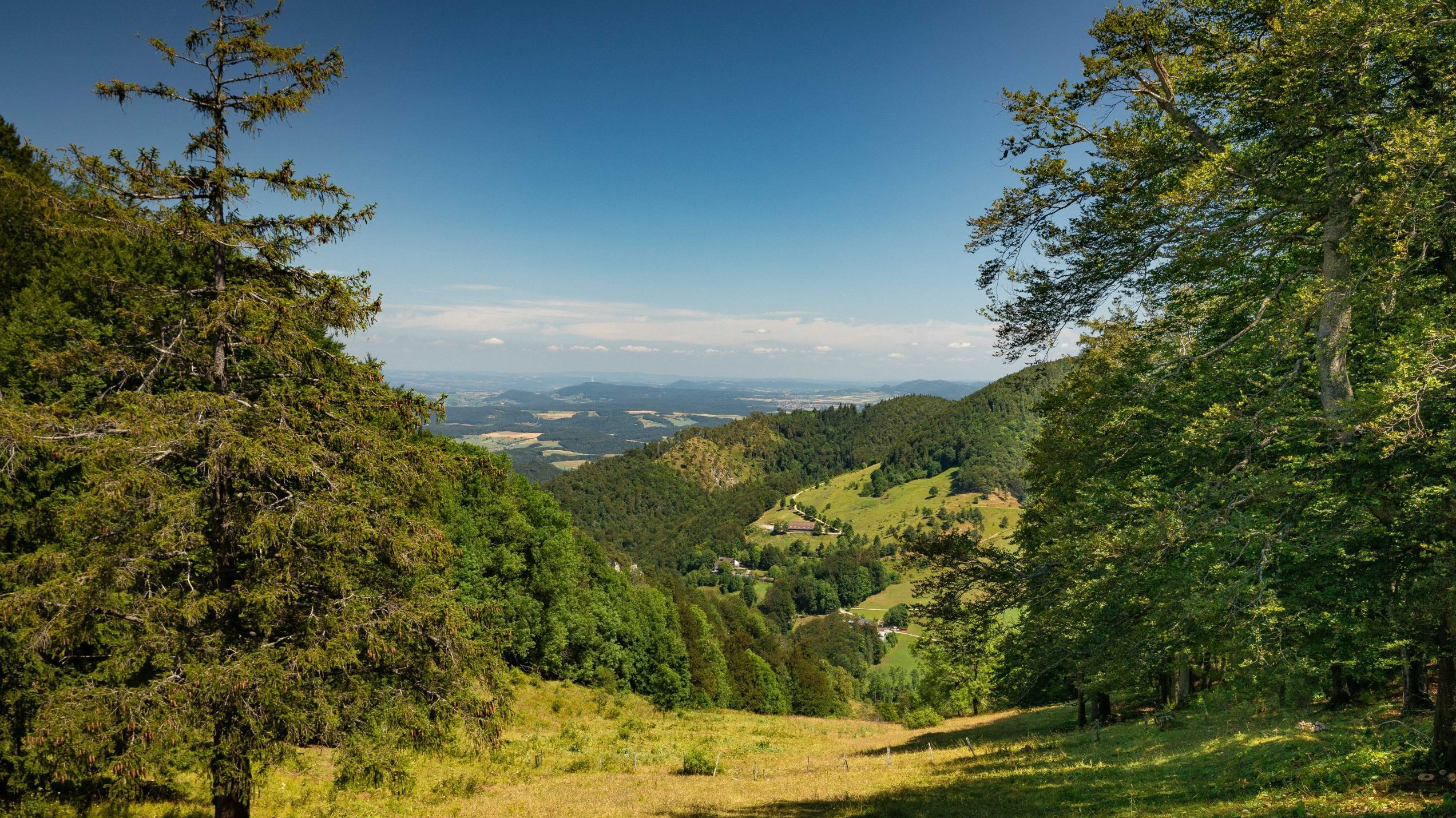
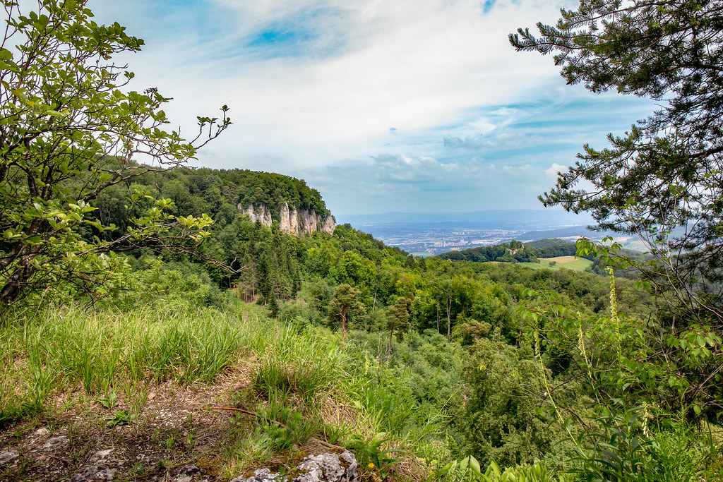
Leaving from Frenkendorf station, this route quickly rushes into the Adler forest to reach the ruins of Madeln castle. It then continues to the ruins of Alt-Schauenburg castle and then reaches the summit, the Schauenburgflue, where the view is very beautiful.

Already more than 200,000 users!
Uphill
458m
Highest point
686m
Downhill
458m
Lowest point
305m
Route type
Loop
Download the map on your smartphone to save battery and rest assured to always keep access to the route, even without signal.
Includes IGN France and Swisstopo.
I indicate whether dogs are allowed or prohibited on this trail
All year
0 ratings
Also enjoy:

Already more than 200,000 users!