Uphill
246m

Length
5km
Duration
2h
Elev gain
246m
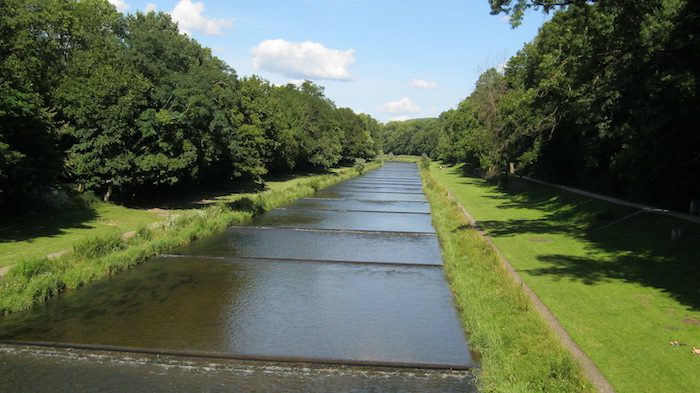
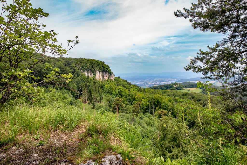
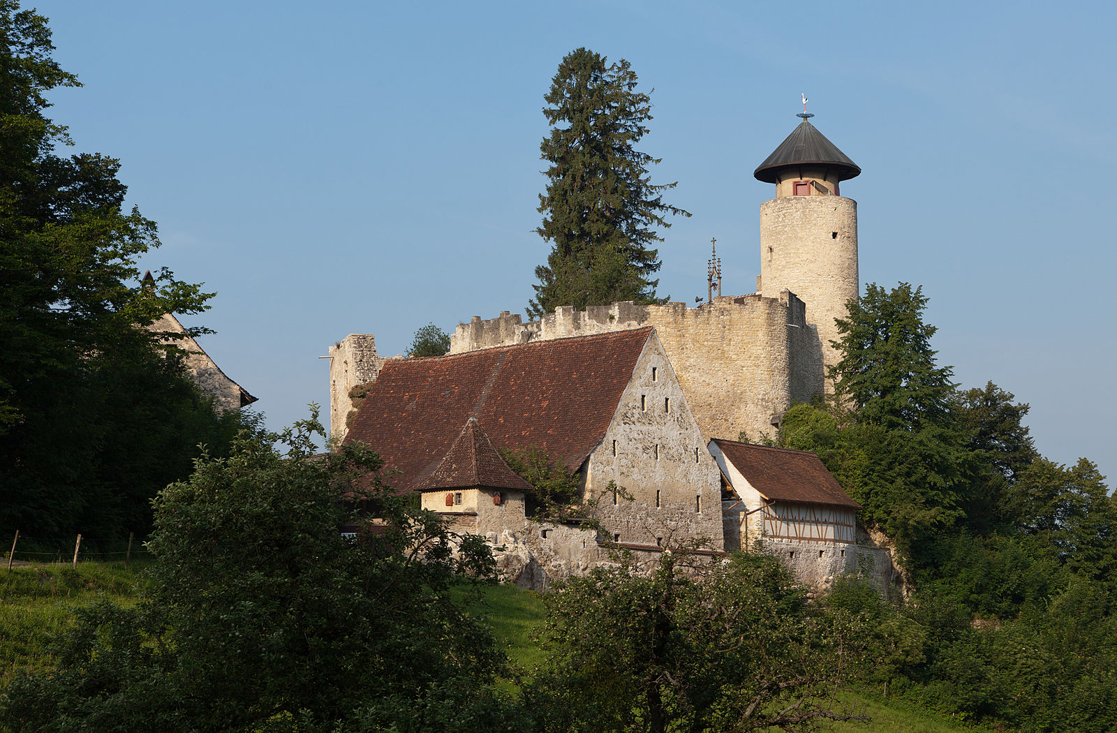
It is near Riehen that this hike takes place. The route makes a loop mainly in the forest, between the Britzigerberg and Bettingerhöhe hills. Once on the hills, the views of Chrisschonatal and the surrounding area are very pleasant.

Already more than 200,000 users!
Uphill
246m
Highest point
507m
Downhill
246m
Lowest point
331m
Route type
Loop
Download the map on your smartphone to save battery and rest assured to always keep access to the route, even without signal.
Includes IGN France and Swisstopo.
I indicate whether dogs are allowed or prohibited on this trail
All year
0 ratings
Also enjoy:

Already more than 200,000 users!