Uphill
14m
Length
2km
Duration
30min
Elev gain
14m
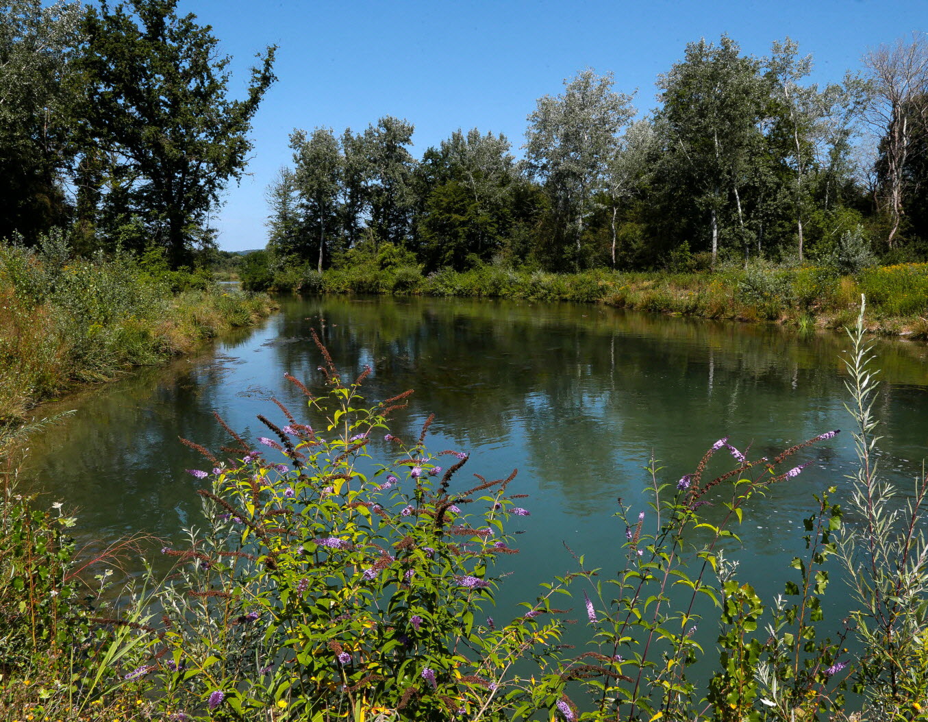
A short route that begins in the Lange Erlen animal park, located near the Wiese river. The trail makes a small loop in the forest and allows you to stretch your legs.

Already more than 200,000 users!
Uphill
14m
Highest point
273m
Downhill
14m
Lowest point
253m
Route type
Loop
Download the map on your smartphone to save battery and rest assured to always keep access to the route, even without signal.
Includes IGN France and Swisstopo.
I indicate whether dogs are allowed or prohibited on this trail
All year
0 ratings
Also enjoy:

Already more than 200,000 users!