Uphill
506m
Length
8km
Duration
3h30min
Elev gain
506m
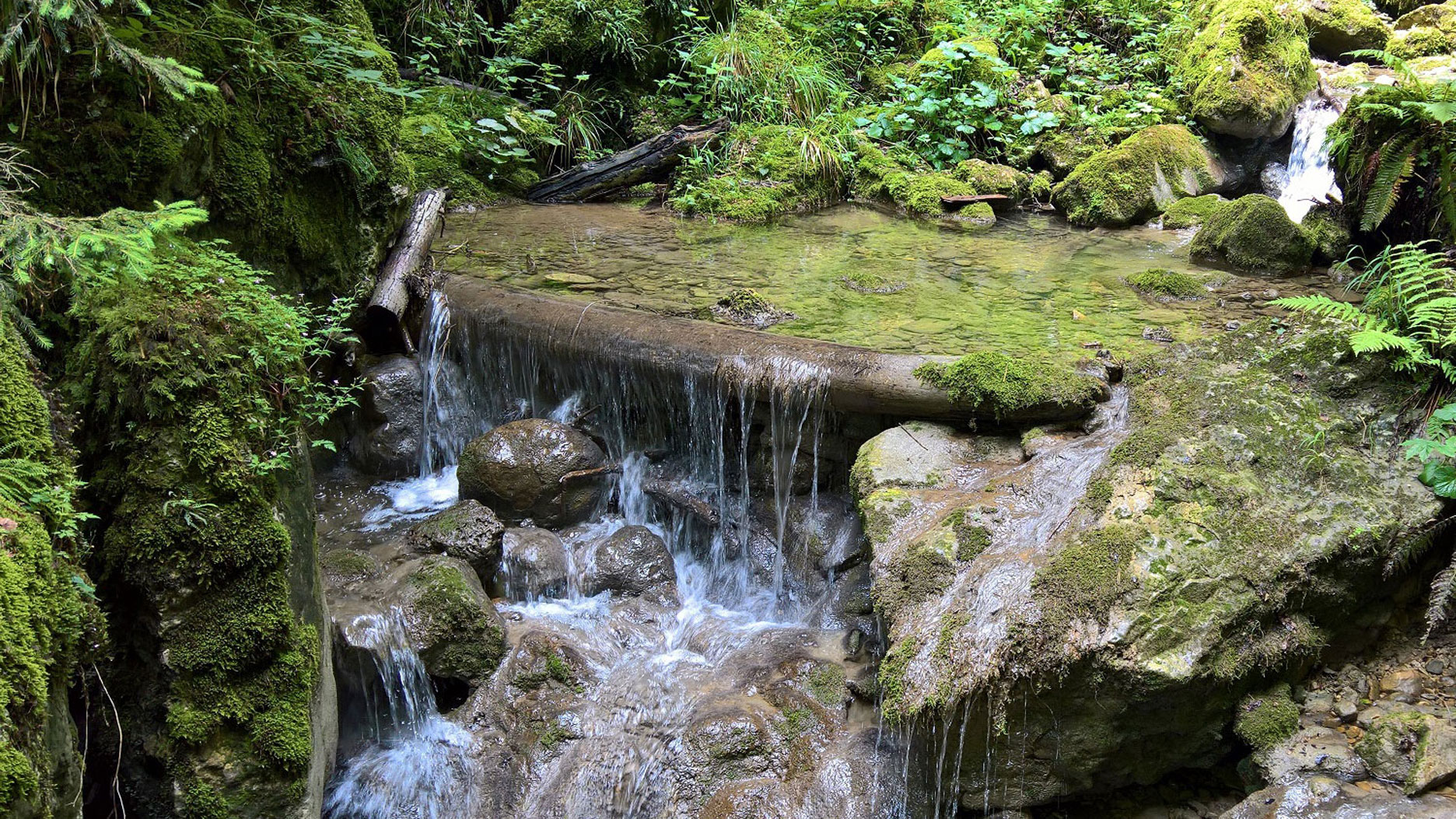
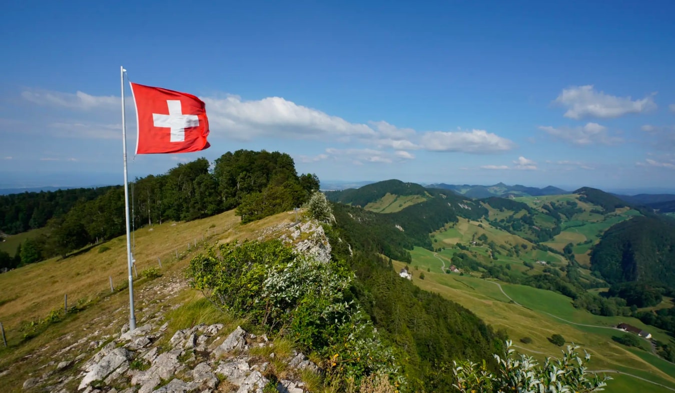
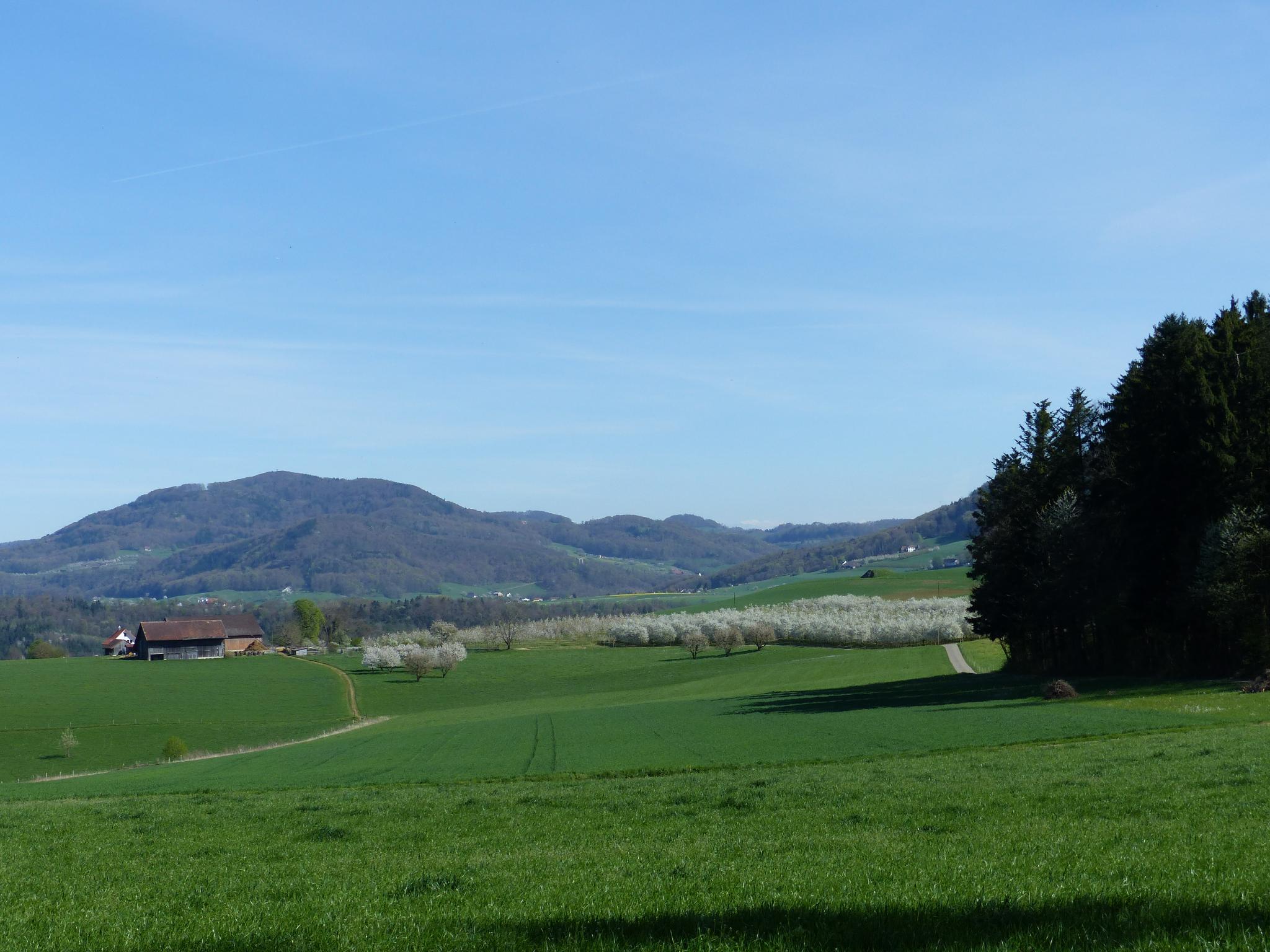
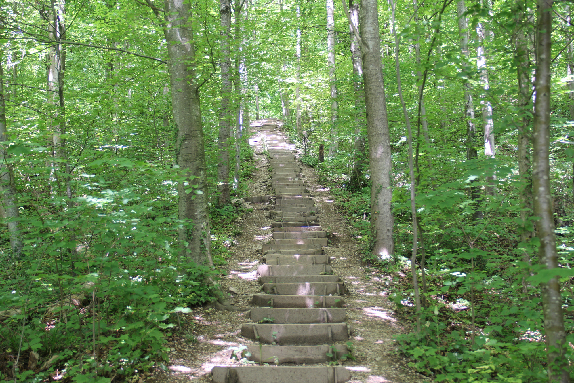
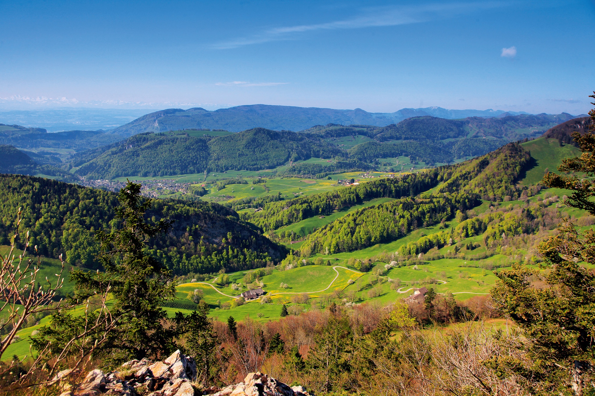
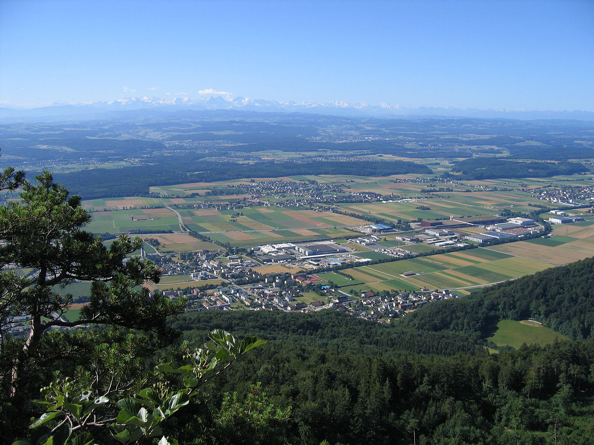
Departing from Egerkingen, this hike takes on the rock face of Höchi Flue, located at 966 meters. On mainly forest paths, the route has some nice climbs and passes through pastures in some places.

Already more than 200,000 users!
Uphill
506m
Highest point
966m
Downhill
506m
Lowest point
460m
Route type
Loop
Download the map on your smartphone to save battery and rest assured to always keep access to the route, even without signal.
Includes IGN France and Swisstopo.
I indicate whether dogs are allowed or prohibited on this trail
Can be difficult in Winter
0 ratings
Also enjoy:

Already more than 200,000 users!