Uphill
698m
Length
11km
Duration
5h
Elev gain
698m
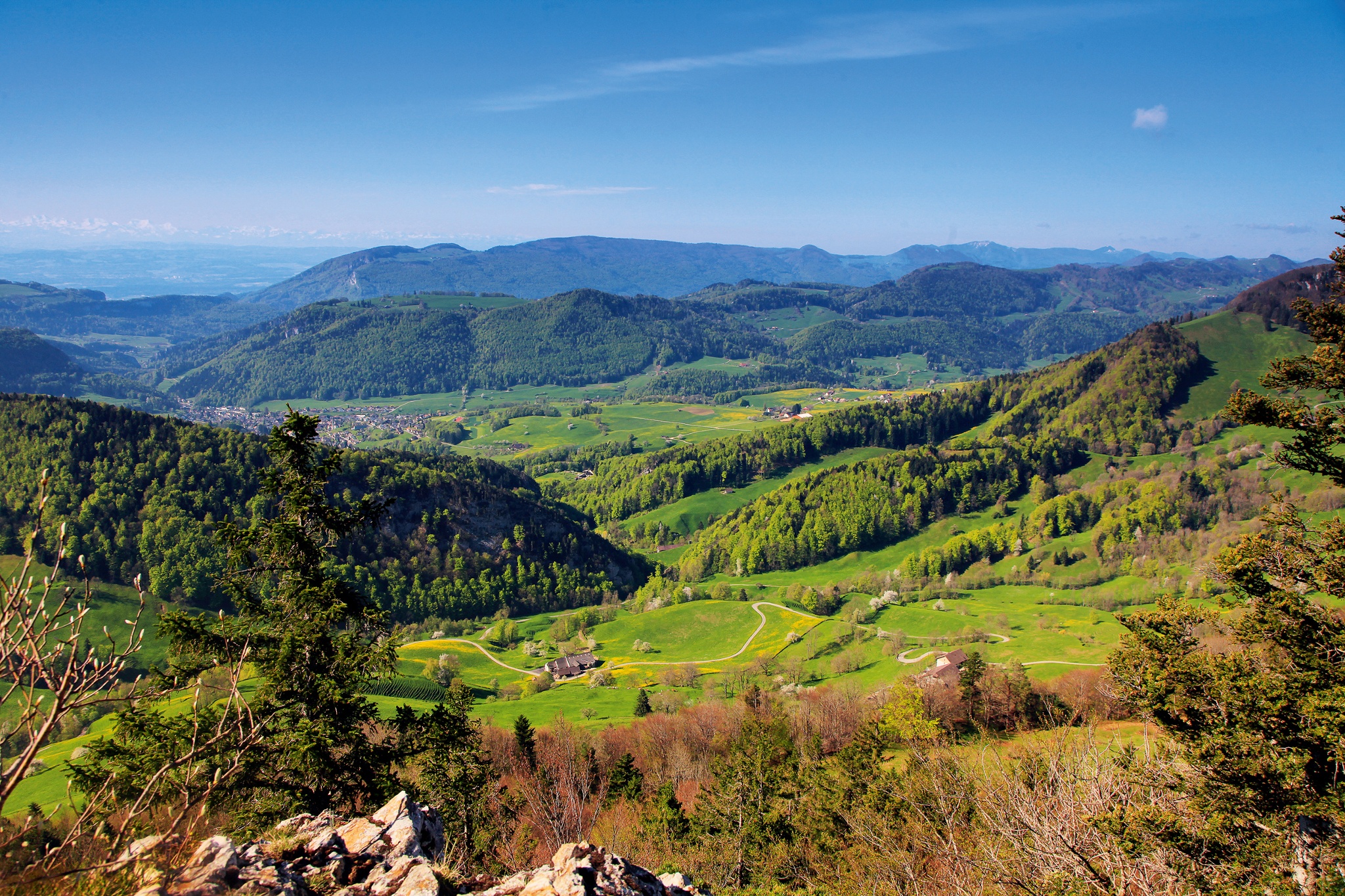
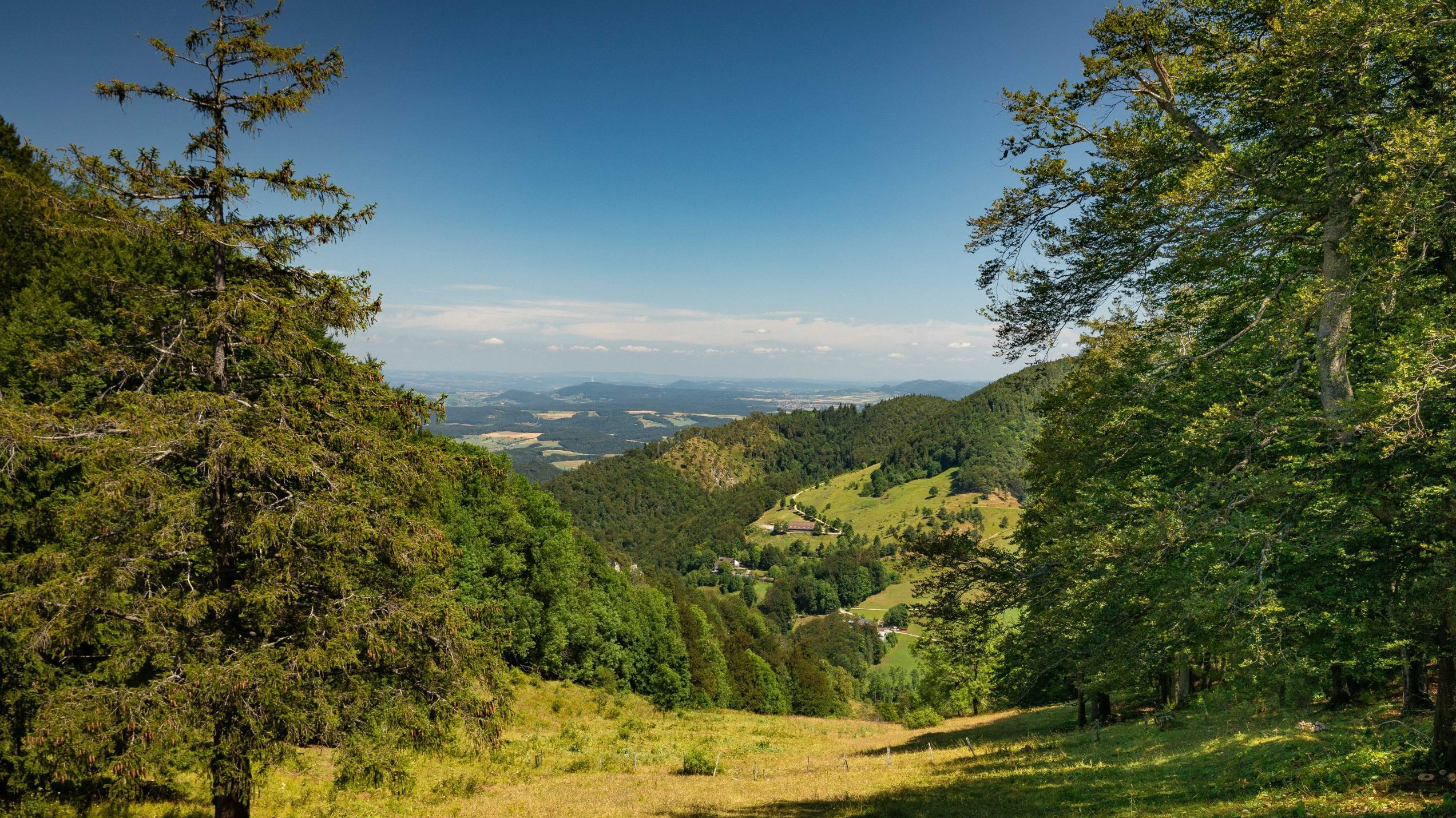
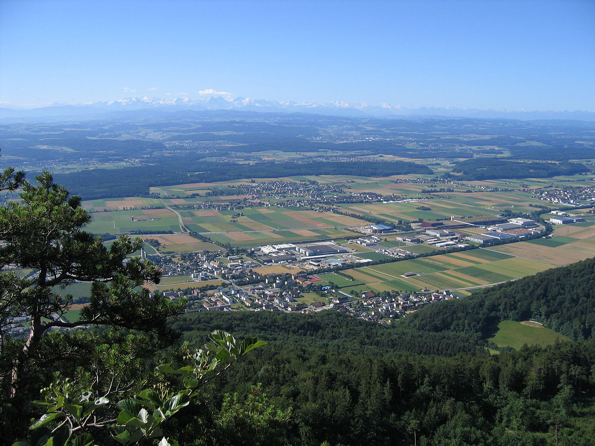
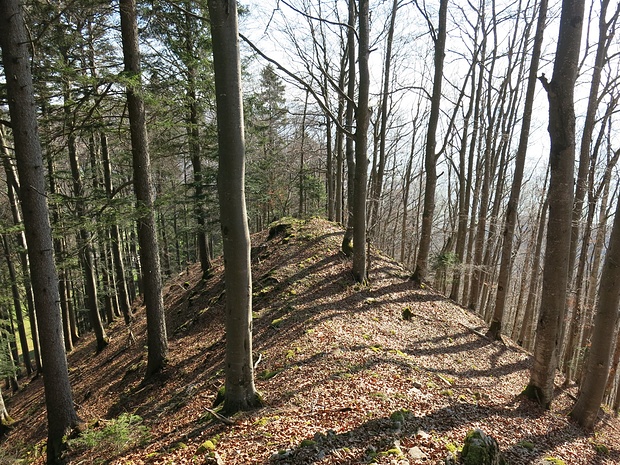
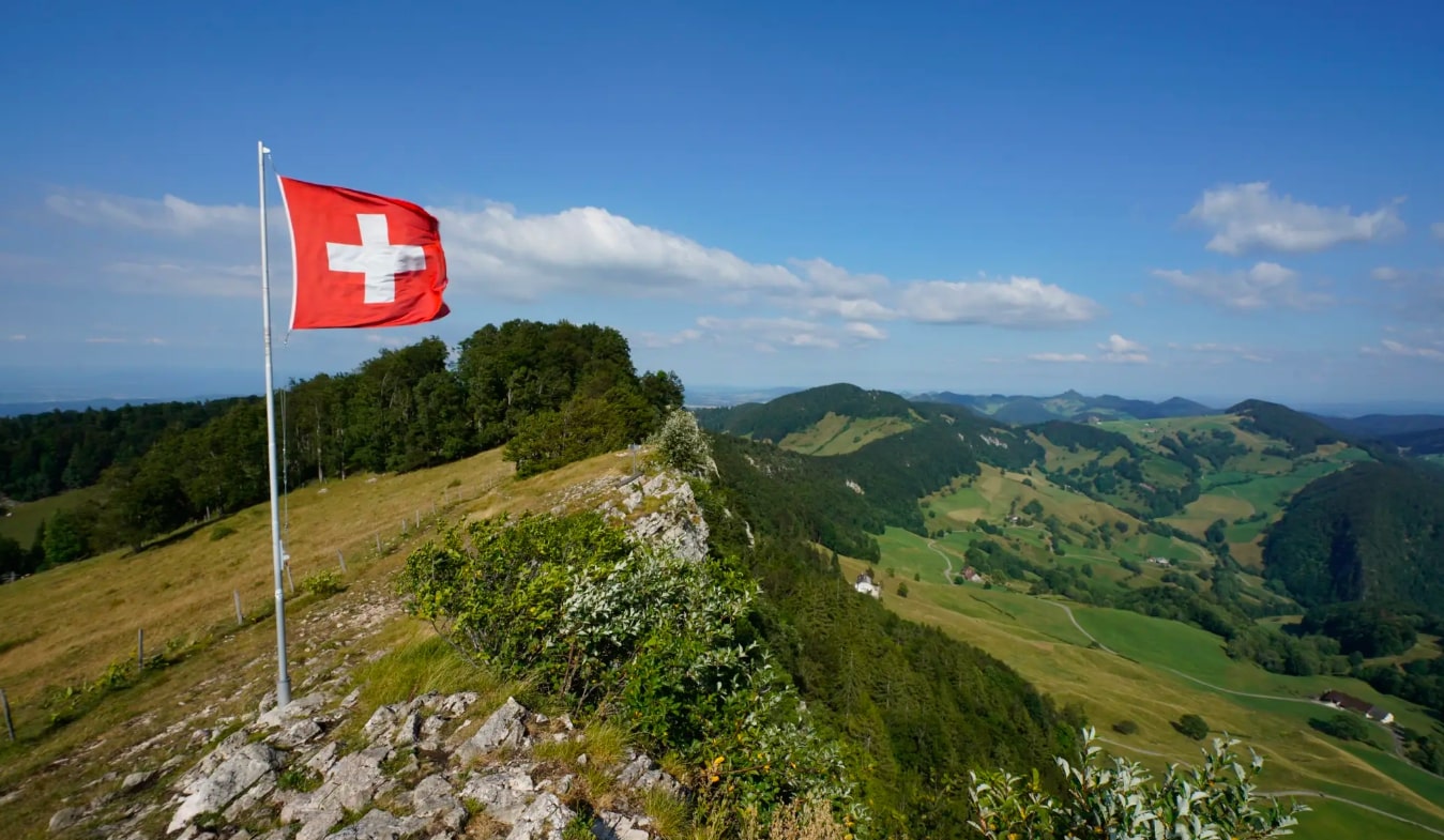
Nice hike in the heart of the Thal natural park. The route begins in Mümliswil-Ramiswil then climbs steadily until reaching Vogelberg, the highest point of this hike, located at 1,204 meters above sea level. Then, the route descends, passes by the restaurant Passwang and then returns to the starting point.

Already more than 200,000 users!
Uphill
698m
Highest point
1199m
Downhill
698m
Lowest point
565m
Route type
Loop
Download the map on your smartphone to save battery and rest assured to always keep access to the route, even without signal.
Includes IGN France and Swisstopo.
Authorised
Can be difficult in Winter
1 rating
Also enjoy:

Already more than 200,000 users!