Uphill
620m
Length
11km
Duration
4h30min
Elev gain
620m
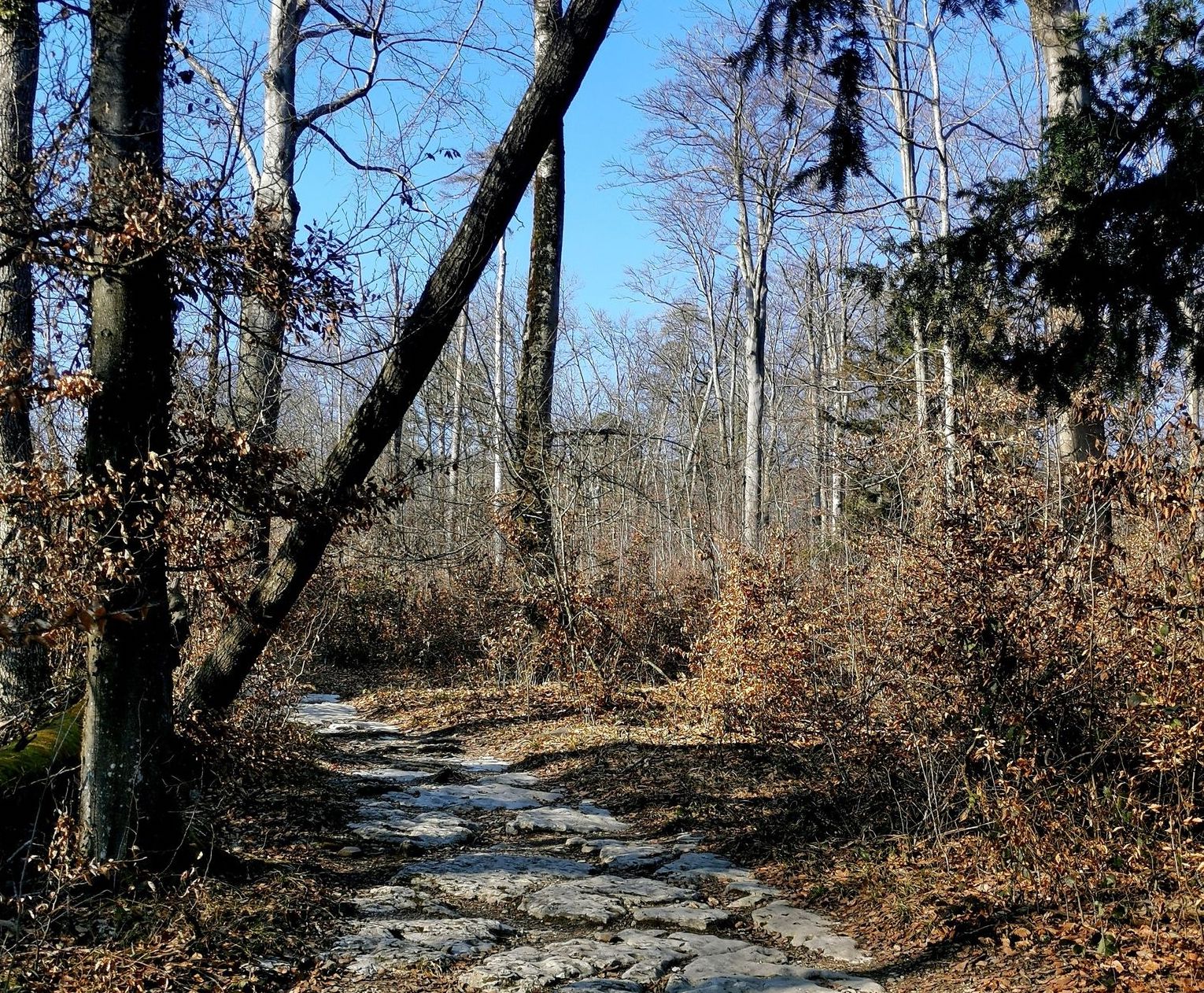
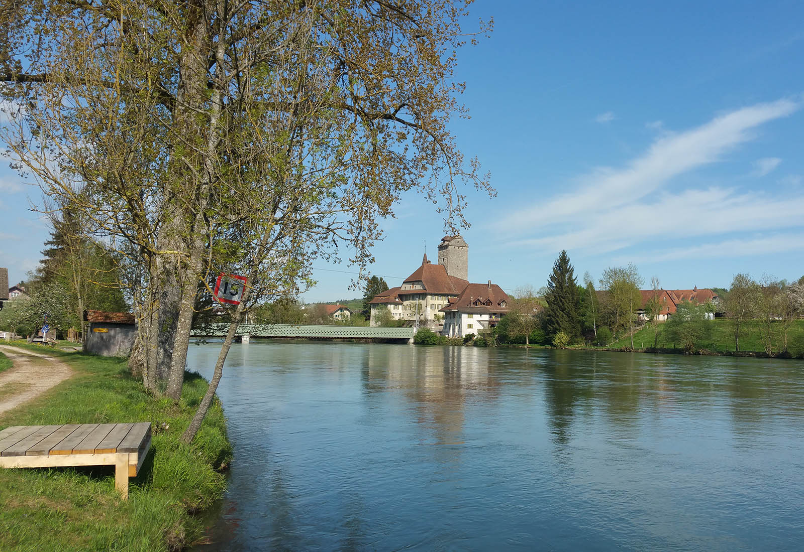
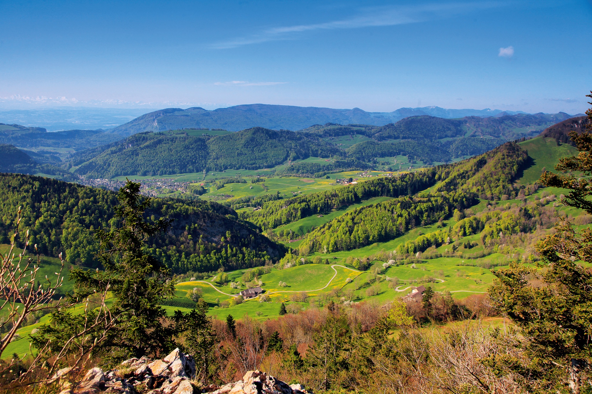
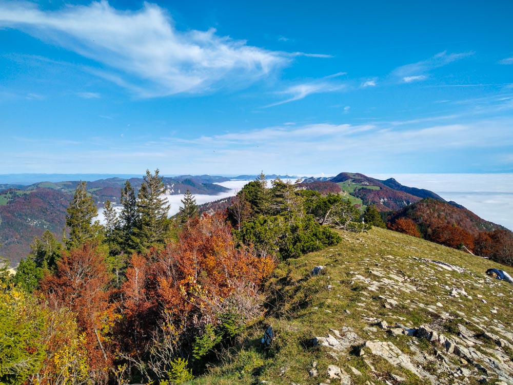
Leaving from Herbetswil, this route quickly leaves the village then runs along a river before gaining height. Indeed, from there, the trail climbs to reach the summit of this hike, the Tannmattchopf, located 1,190 meters above sea level. The trail passes near two restaurants and then descends back to the starting point.

Already more than 200,000 users!
Uphill
620m
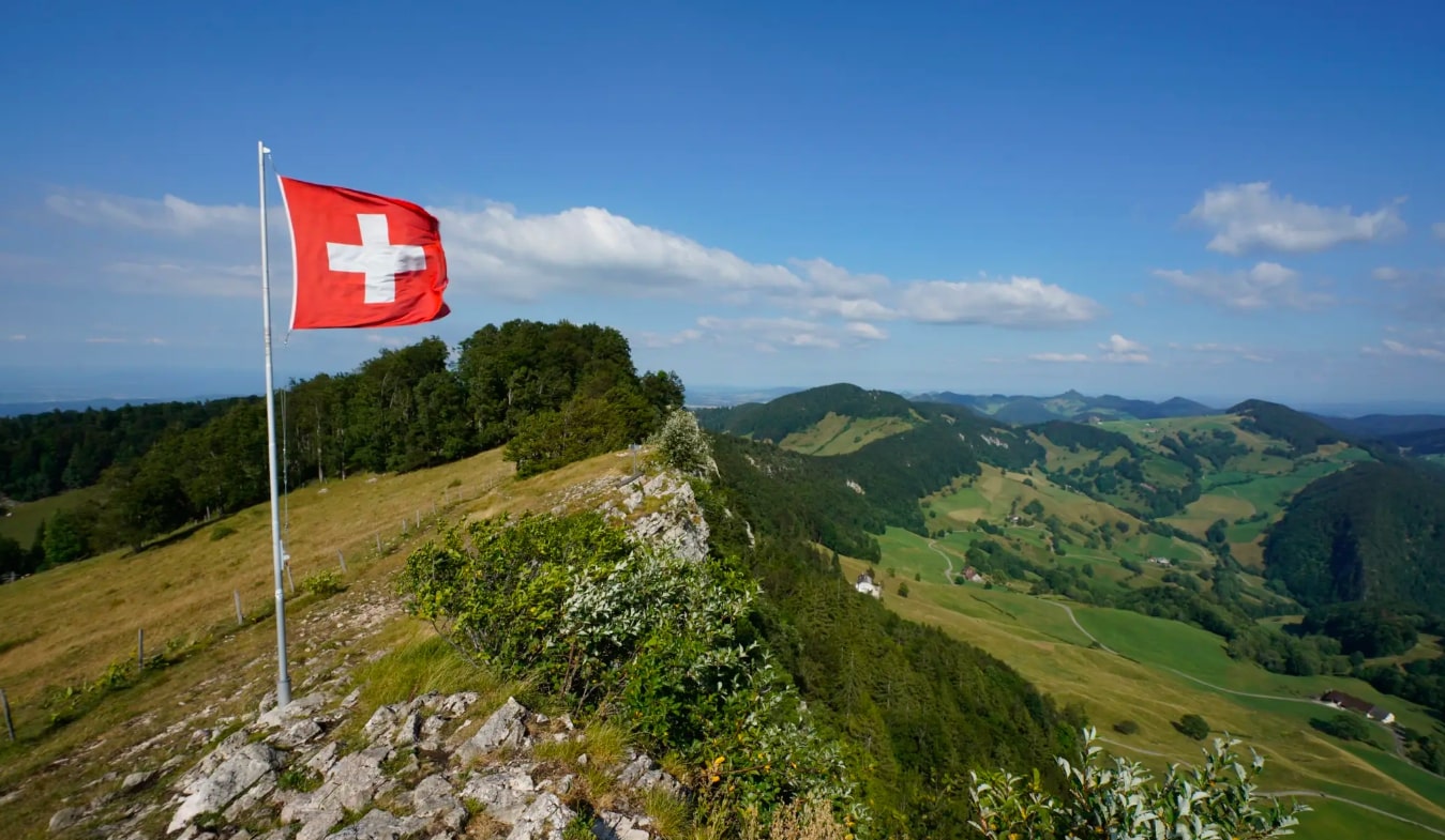
Highest point
1130m
Downhill
620m
Lowest point
526m
Route type
Loop
Download the map on your smartphone to save battery and rest assured to always keep access to the route, even without signal.
Includes IGN France and Swisstopo.
I indicate whether dogs are allowed or prohibited on this trail
Can be difficult in Winter
1 rating
Also enjoy:

Already more than 200,000 users!