Uphill
150m
Length
3km
Duration
1h
Elev gain
150m
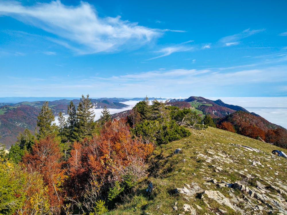
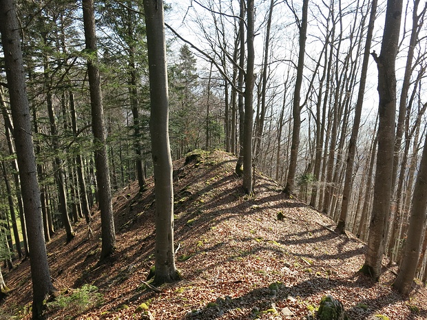
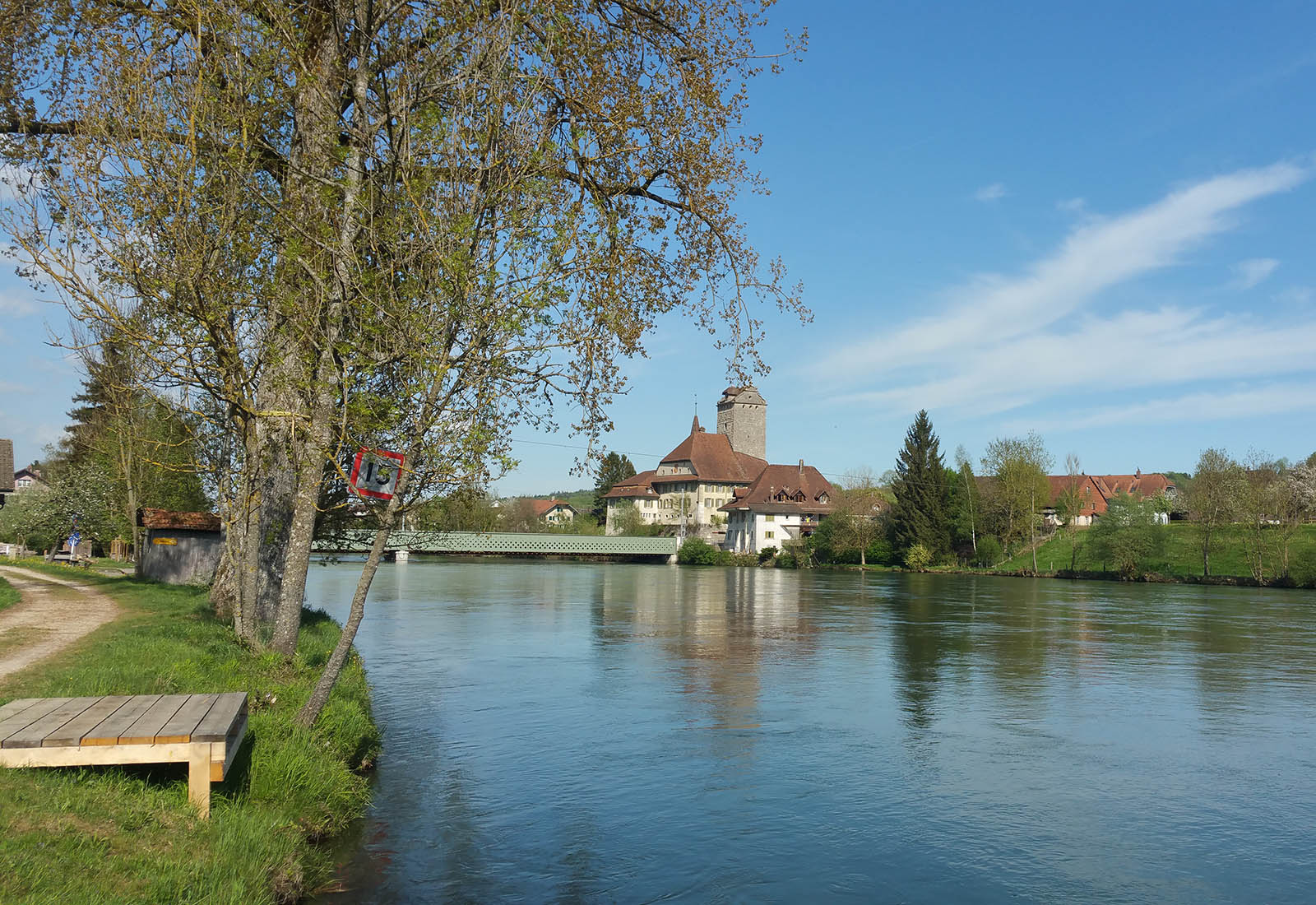
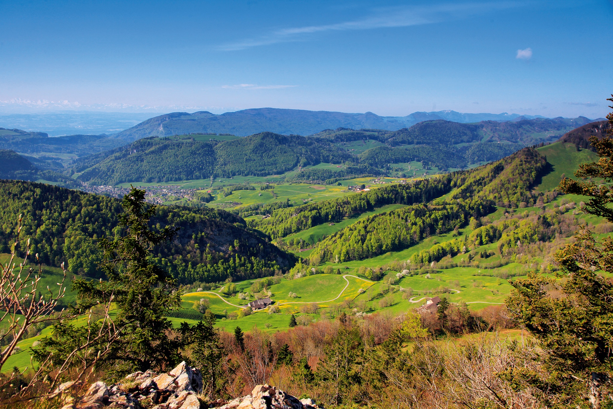
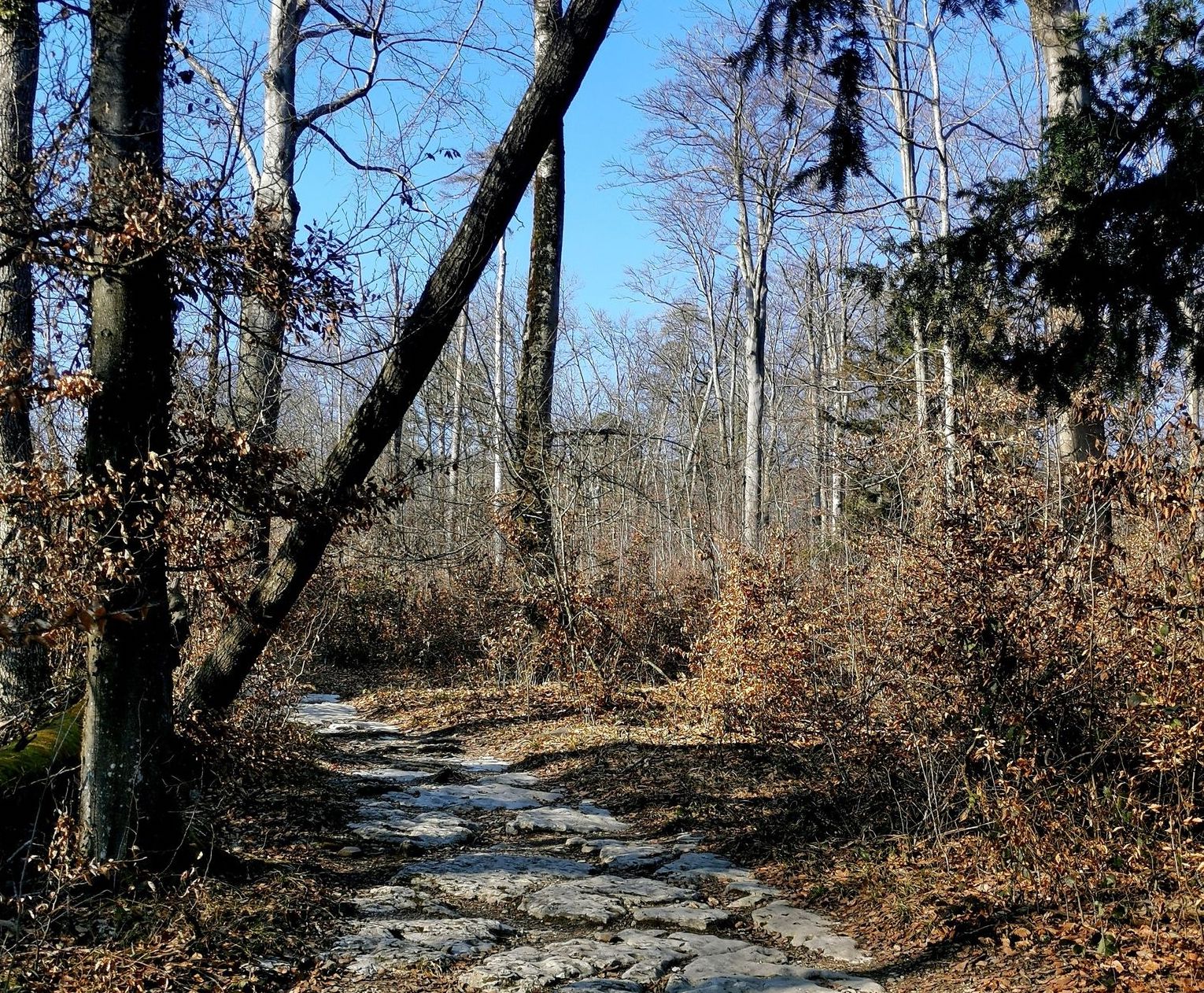
Here is a nice walk around Sankt Katharinen, between forest and stream. Indeed, this course quickly rushes into the woods then makes a loop while skirting the Verenabach stream in the heart of beautiful nature.

Already more than 200,000 users!
Uphill
150m
Highest point
585m
Downhill
150m
Lowest point
468m
Route type
Loop
Download the map on your smartphone to save battery and rest assured to always keep access to the route, even without signal.
Includes IGN France and Swisstopo.
I indicate whether dogs are allowed or prohibited on this trail
All year
0 ratings
Also enjoy:

Already more than 200,000 users!