Uphill
837m
Length
11km
Duration
6h
Elev gain
837m
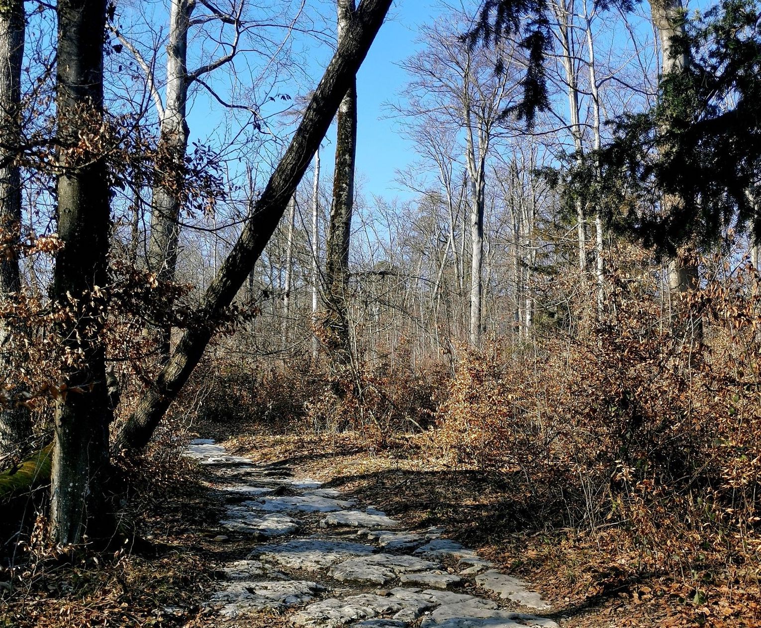
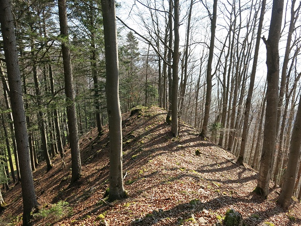
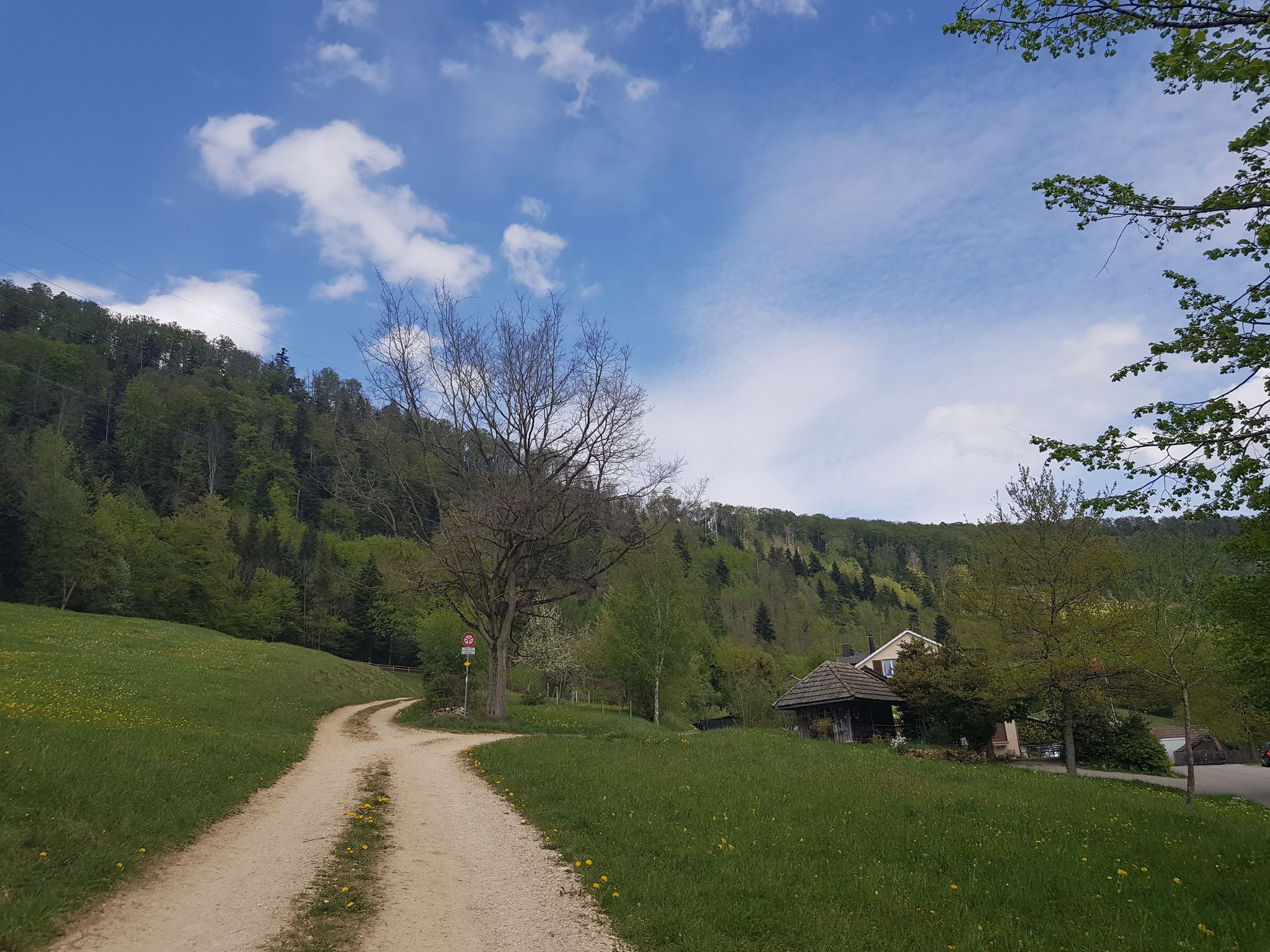
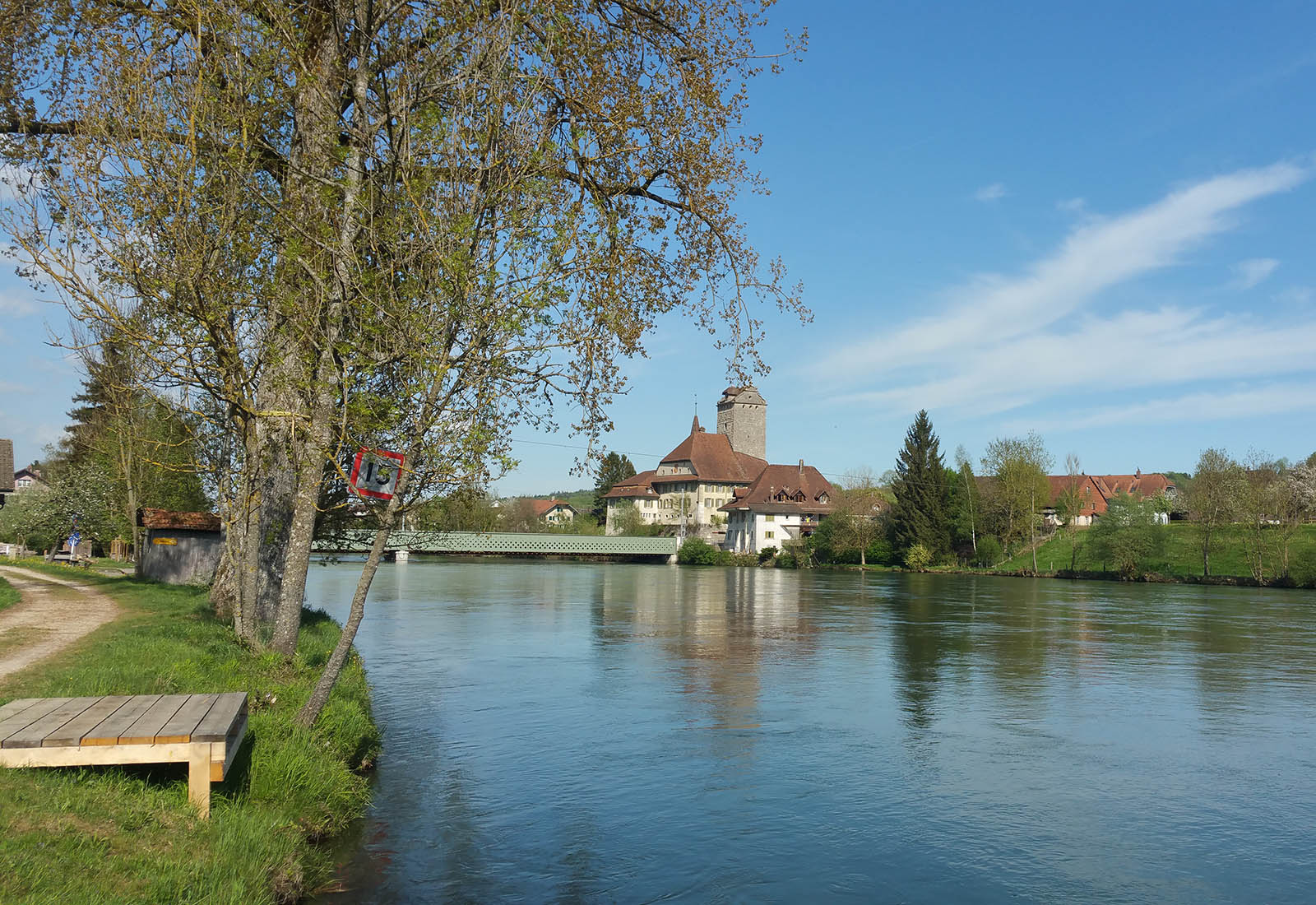
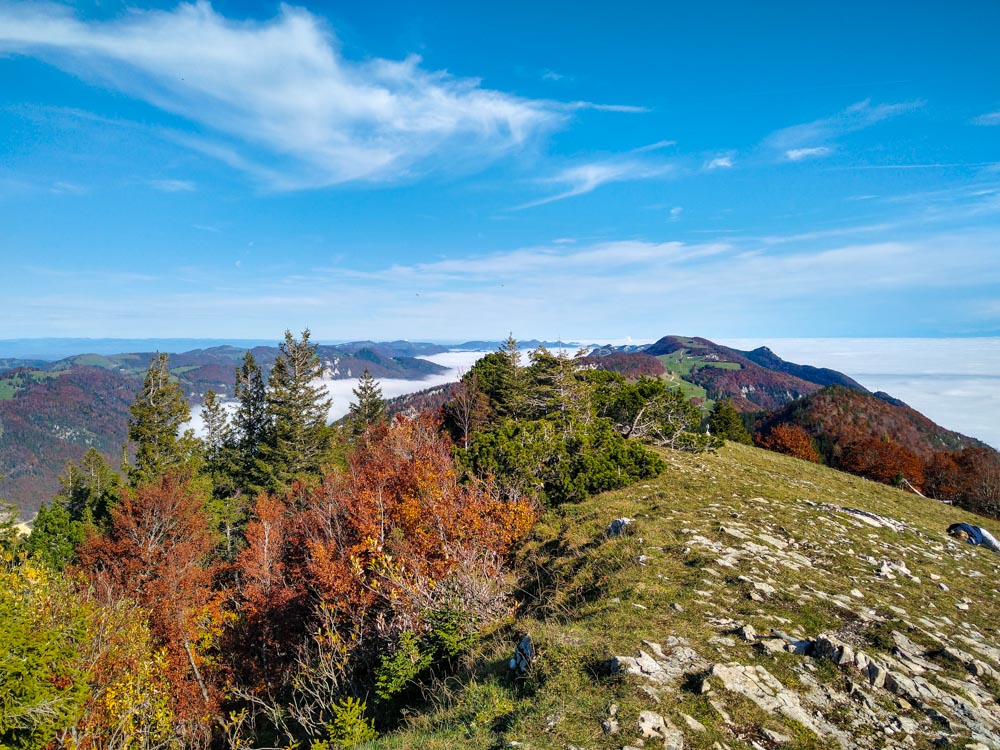
Departing from Im Holz station, this route makes a nice loop and passes in particular by Hasenmatt, a summit culminating at 1,444 meters above sea level. The path is relatively steep, but the efforts are rewarded when you reach the top, since the view of the surrounding mountains is just sublime.

Already more than 200,000 users!
Uphill
837m
Highest point
1442m
Downhill
837m
Lowest point
613m
Route type
Loop
Download the map on your smartphone to save battery and rest assured to always keep access to the route, even without signal.
Includes IGN France and Swisstopo.
I indicate whether dogs are allowed or prohibited on this trail
Can be difficult in Winter
1 rating
Also enjoy:

Already more than 200,000 users!