Uphill
20m
Length
5km
Duration
1h
Elev gain
20m
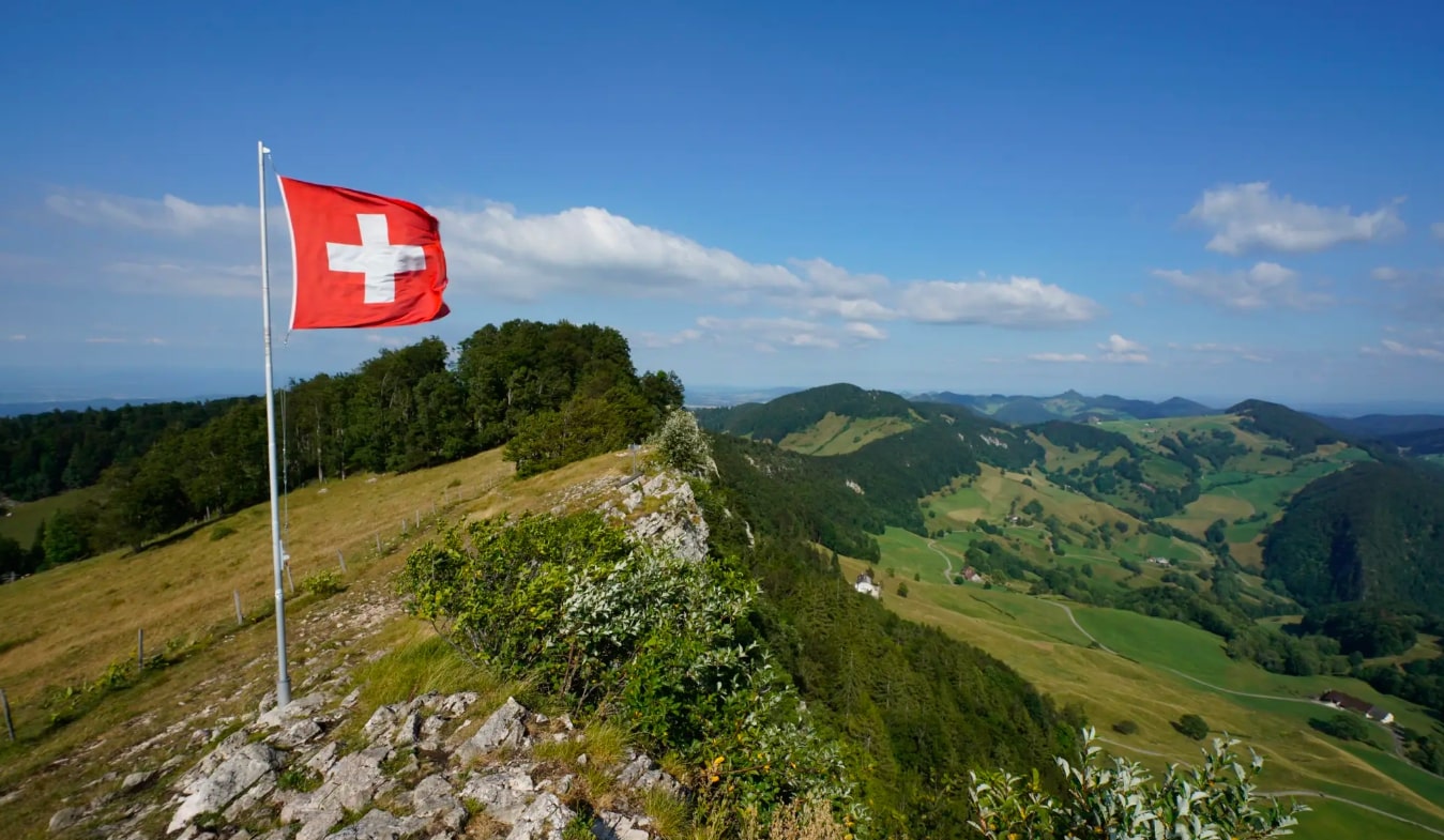
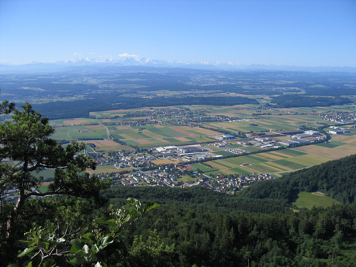
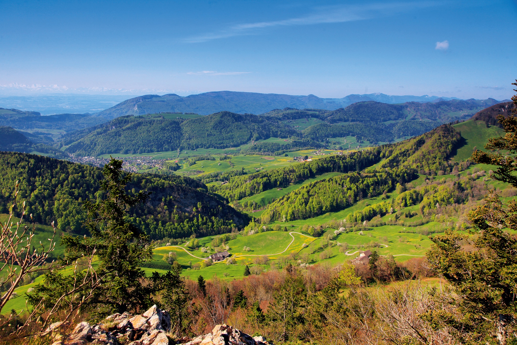
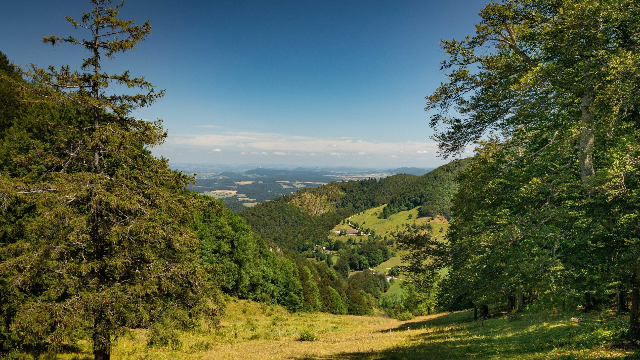
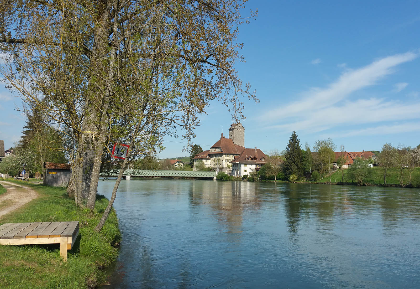
A short family outing in the Aar valley, on the banks of this 288 kilometer long Swiss river. The route makes a loop and takes place in a pleasant natural setting.

Already more than 200,000 users!
Uphill
20m
Highest point
437m
Downhill
20m
Lowest point
414m
Route type
Loop
Download the map on your smartphone to save battery and rest assured to always keep access to the route, even without signal.
Includes IGN France and Swisstopo.
I indicate whether dogs are allowed or prohibited on this trail
All year
0 ratings
Also enjoy:

Already more than 200,000 users!