Uphill
306m

Length
8km
Duration
3h
Elev gain
306m
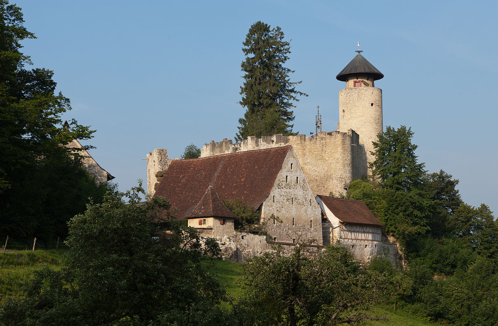
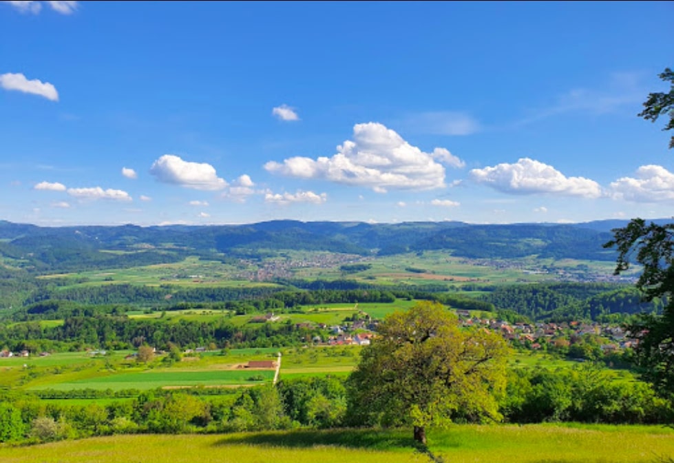
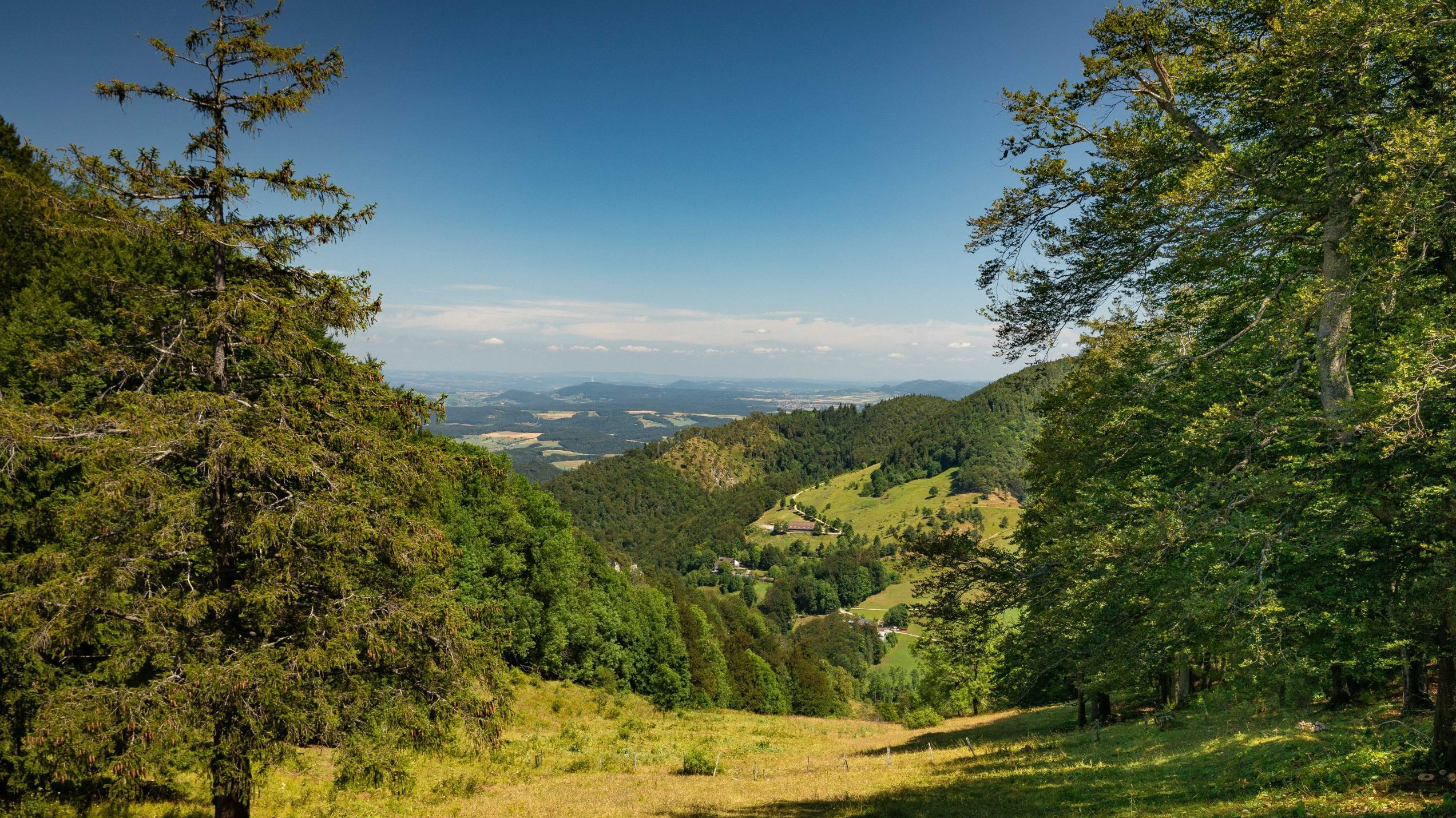
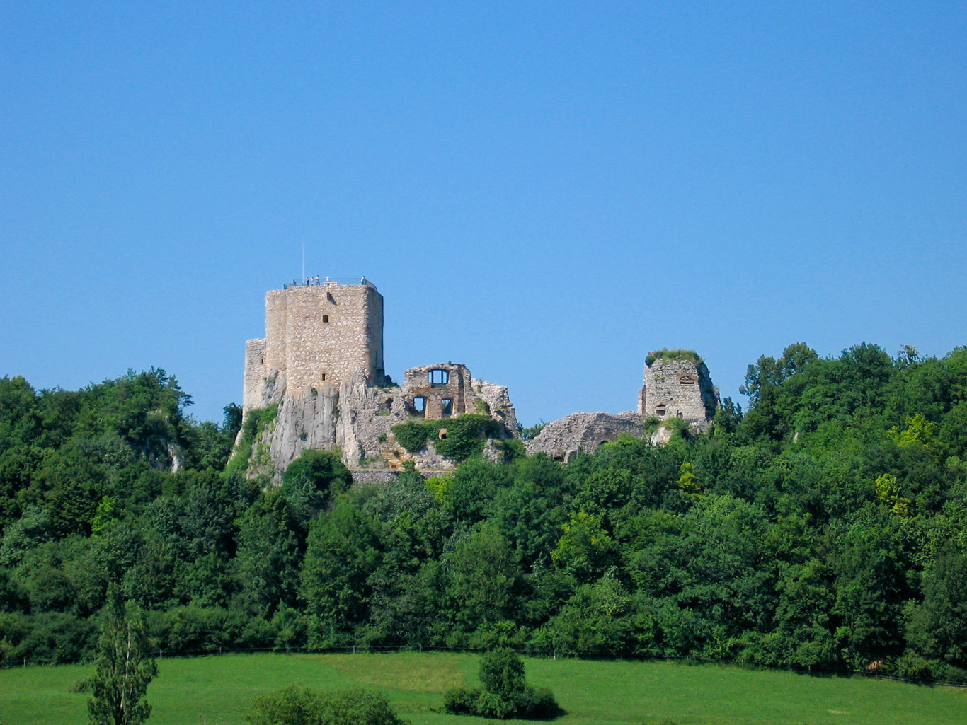
Nice walk to discover the valleys of Chaltbrunnen and Chastelbach. Departing from Grellingen, this route runs along the Birs then the Ibach until reaching the Chaltbrunnental through the forest. The path then takes the direction of Chastelbach then runs along it until it returns to the starting point.

Already more than 200,000 users!
Uphill
306m
Highest point
558m
Downhill
306m
Lowest point
323m
Route type
Loop
Download the map on your smartphone to save battery and rest assured to always keep access to the route, even without signal.
Includes IGN France and Swisstopo.
I indicate whether dogs are allowed or prohibited on this trail
All year
2 ratings
Also enjoy:

Already more than 200,000 users!