Uphill
580m
Length
11km
Duration
4h30min
Elev gain
580m
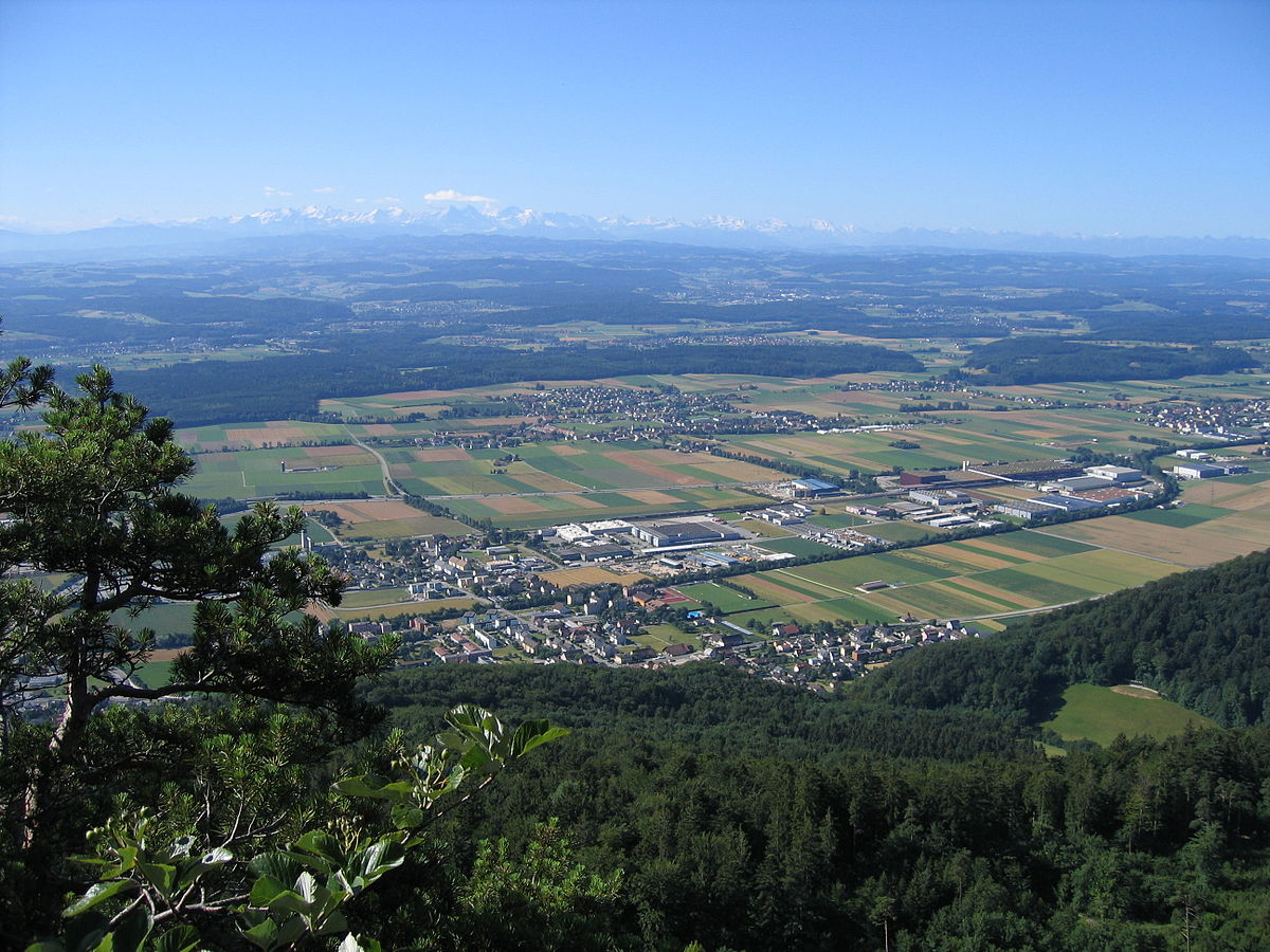
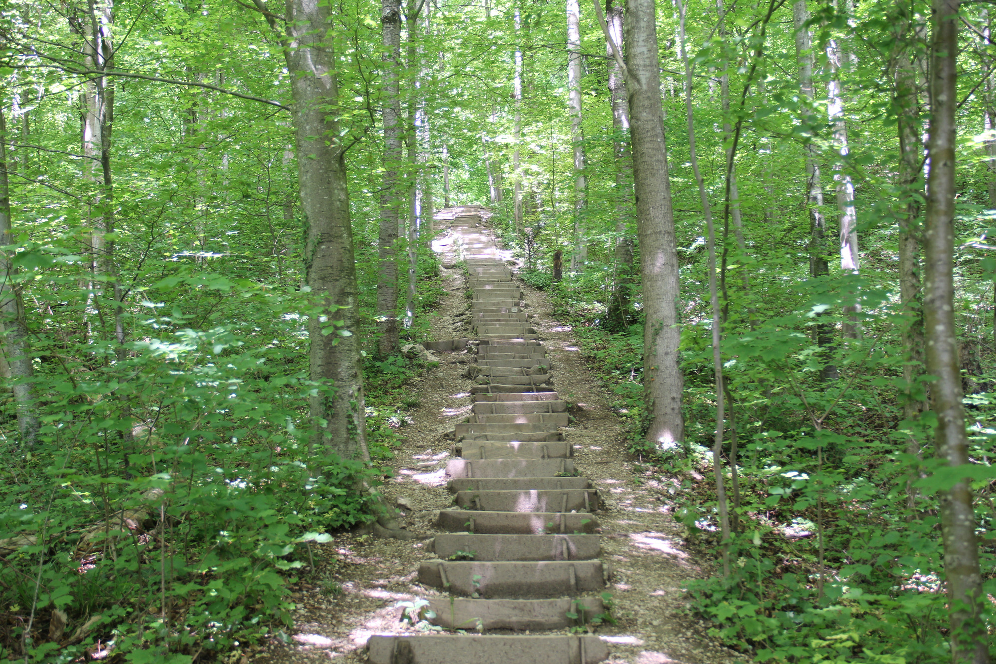
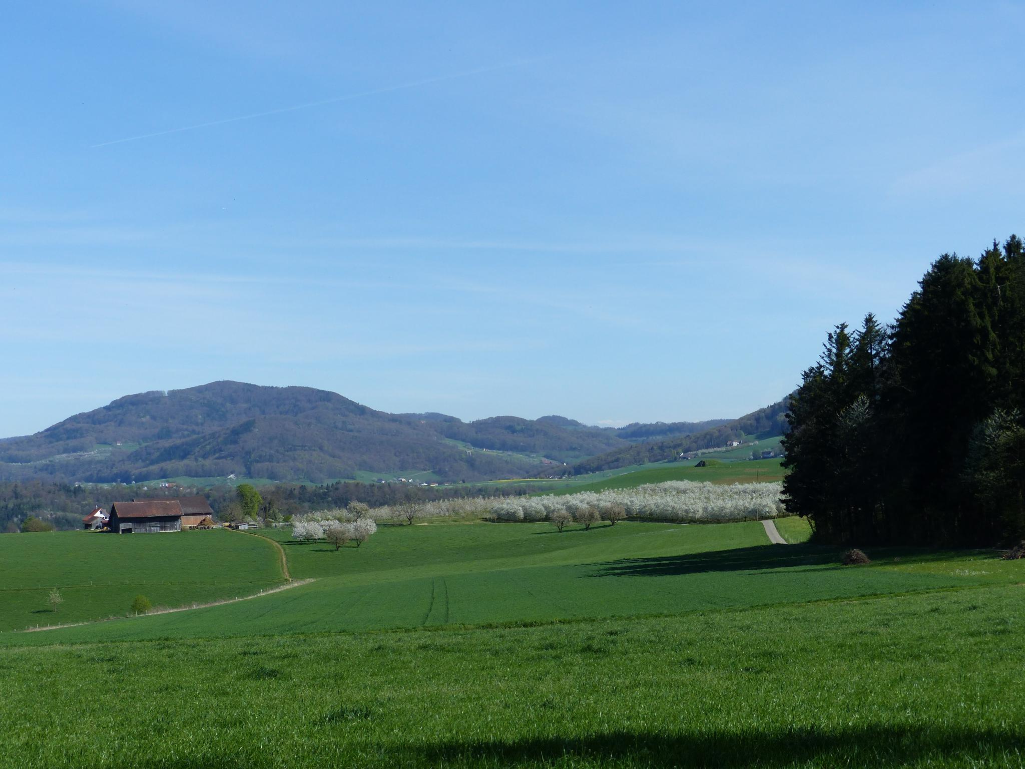
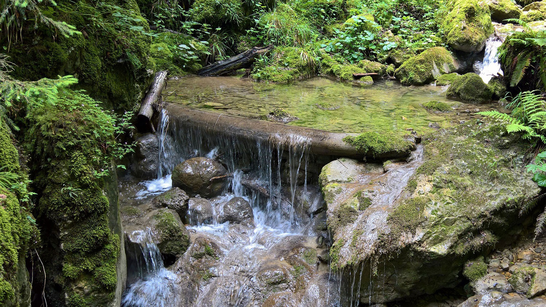
Here is a popular hike near Hägendorf, exploring the Teufelsgraben gorges. The route makes a loop on a path dotted with caves, streams, waterfalls and the famous Teufelsgraben. In short, a great varied walk that is worth the detour!

Already more than 200,000 users!
Uphill
580m
Highest point
1029m
Downhill
580m
Lowest point
590m
Route type
Loop
Download the map on your smartphone to save battery and rest assured to always keep access to the route, even without signal.
Includes IGN France and Swisstopo.
I indicate whether dogs are allowed or prohibited on this trail
Can be difficult in Winter
0 ratings
Also enjoy:

Already more than 200,000 users!