Uphill
584m
Length
12km
Duration
4h30min
Elev gain
584m
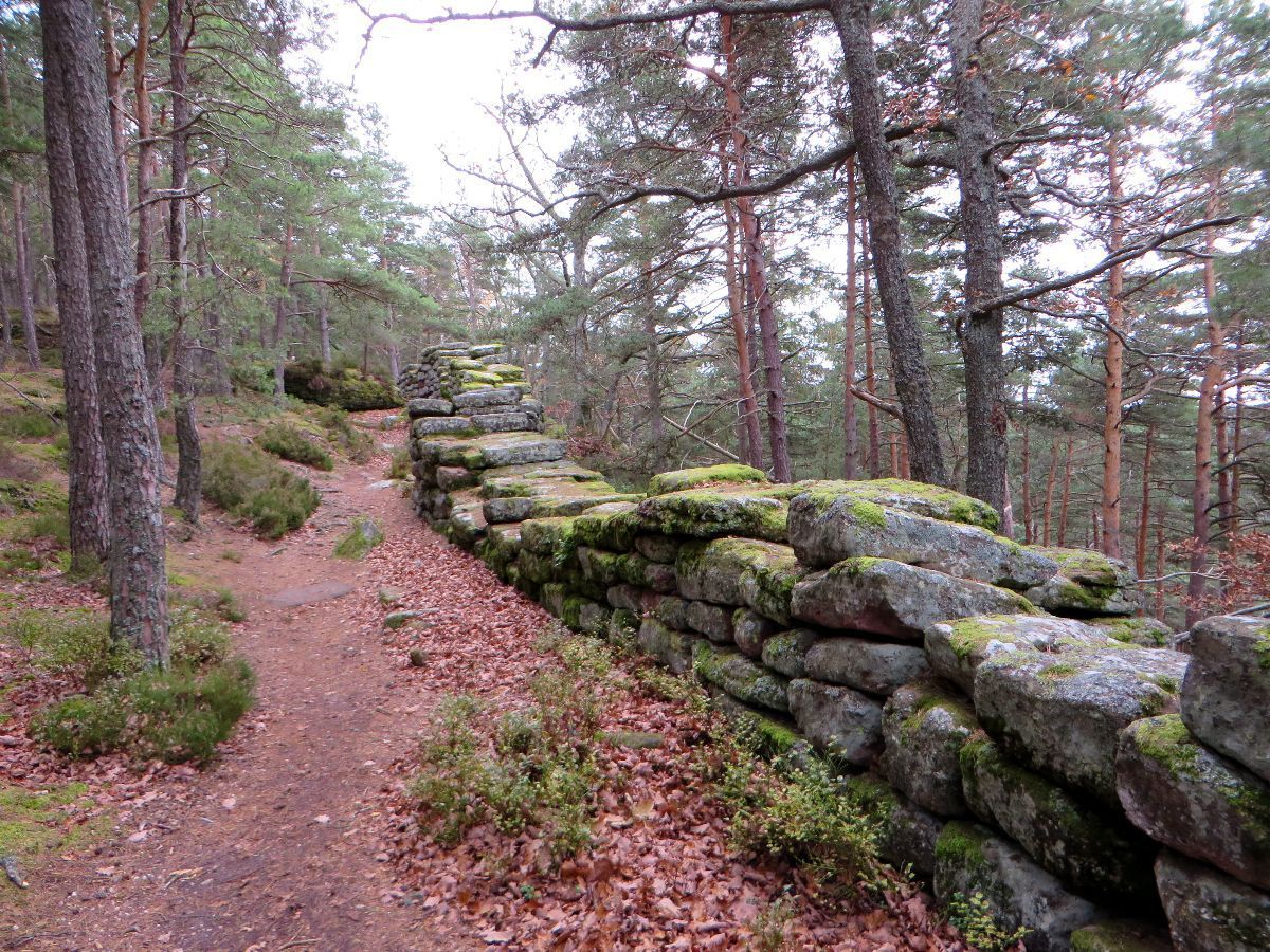
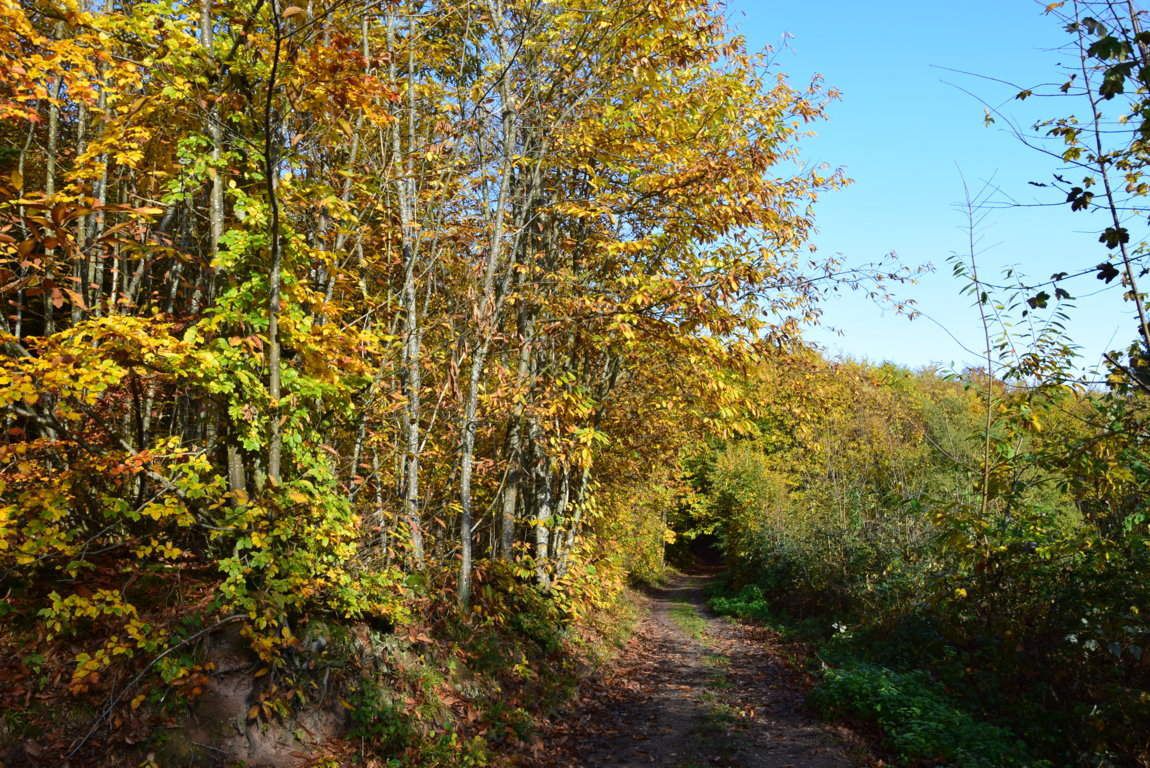
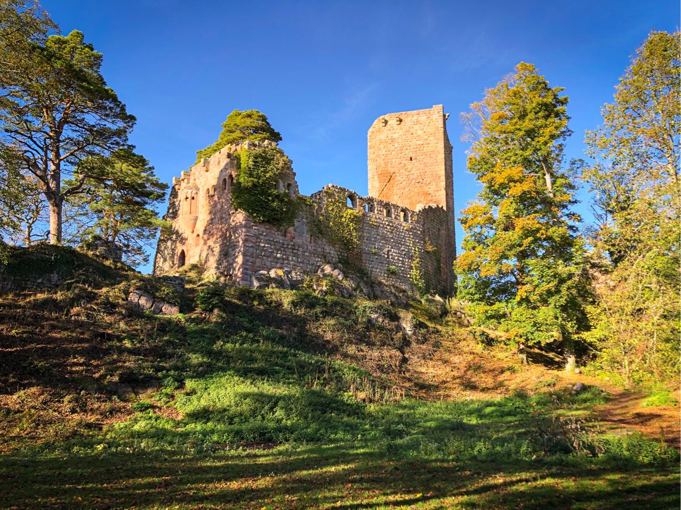
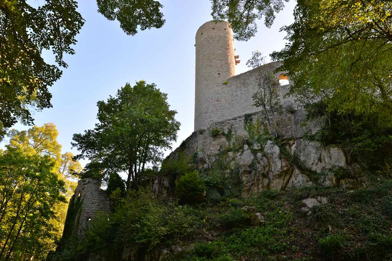
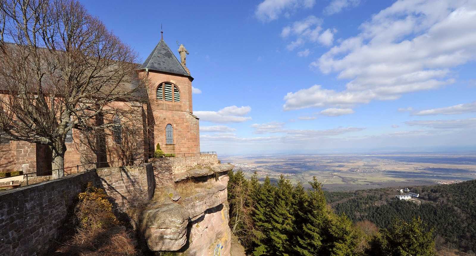
This path first joins the remains of the castles of Rathsamhausen and Lutzelbourg, before rising towards the convent of Mont Sainte-Odile, which offers a lovely view of the Vosges and the Alsace plain.

Already more than 200,000 users!
Uphill
584m
Highest point
773m
Downhill
584m
Lowest point
260m
Route type
Loop
Download the map on your smartphone to save battery and rest assured to always keep access to the route, even without signal.
Includes IGN France and Swisstopo.
I indicate whether dogs are allowed or prohibited on this trail
All year
5 ratings
Also enjoy:

Already more than 200,000 users!