Uphill
224m
Length
5km
Duration
2h
Elev gain
224m
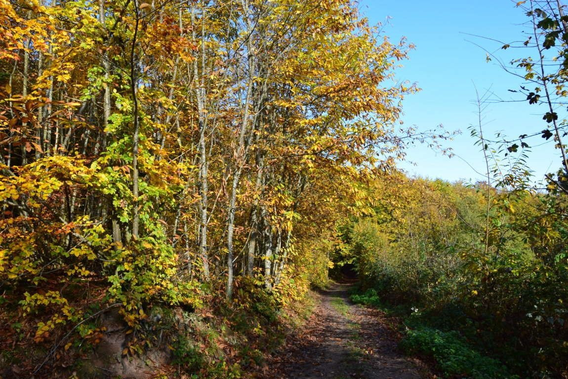
In the forest of Mollkirch, this hike is an invitation to discover the elves. The path is indicated by stones on which elves are engraved indicating the direction to follow, and leading to an orientation table.

Already more than 200,000 users!
Uphill
224m
Highest point
539m
Downhill
224m
Lowest point
334m
Route type
Loop
Download the map on your smartphone to save battery and rest assured to always keep access to the route, even without signal.
Includes IGN France and Swisstopo.
I indicate whether dogs are allowed or prohibited on this trail
All year
2 ratings
Also enjoy:

Already more than 200,000 users!


