Uphill
649m
France > Grand Est > Haut-Rhin > Ballons des Vosges Regional Natural Park
Length
10km
Duration
4h30min
Elev gain
649m
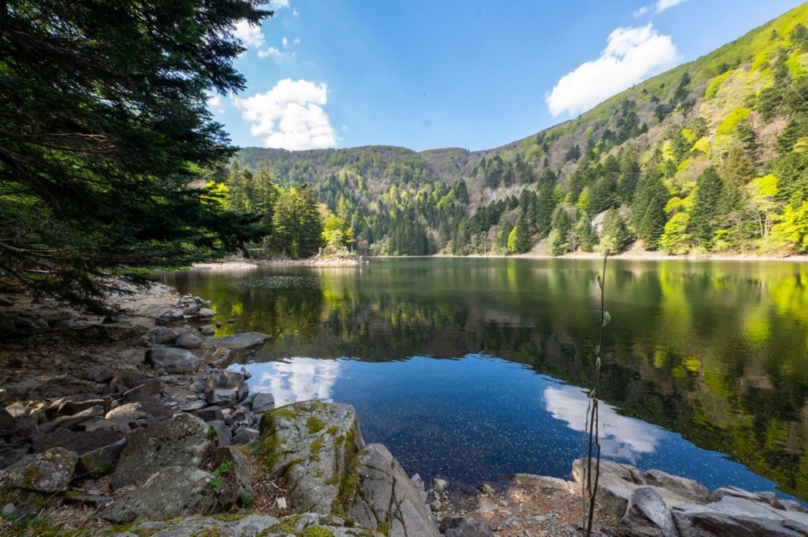
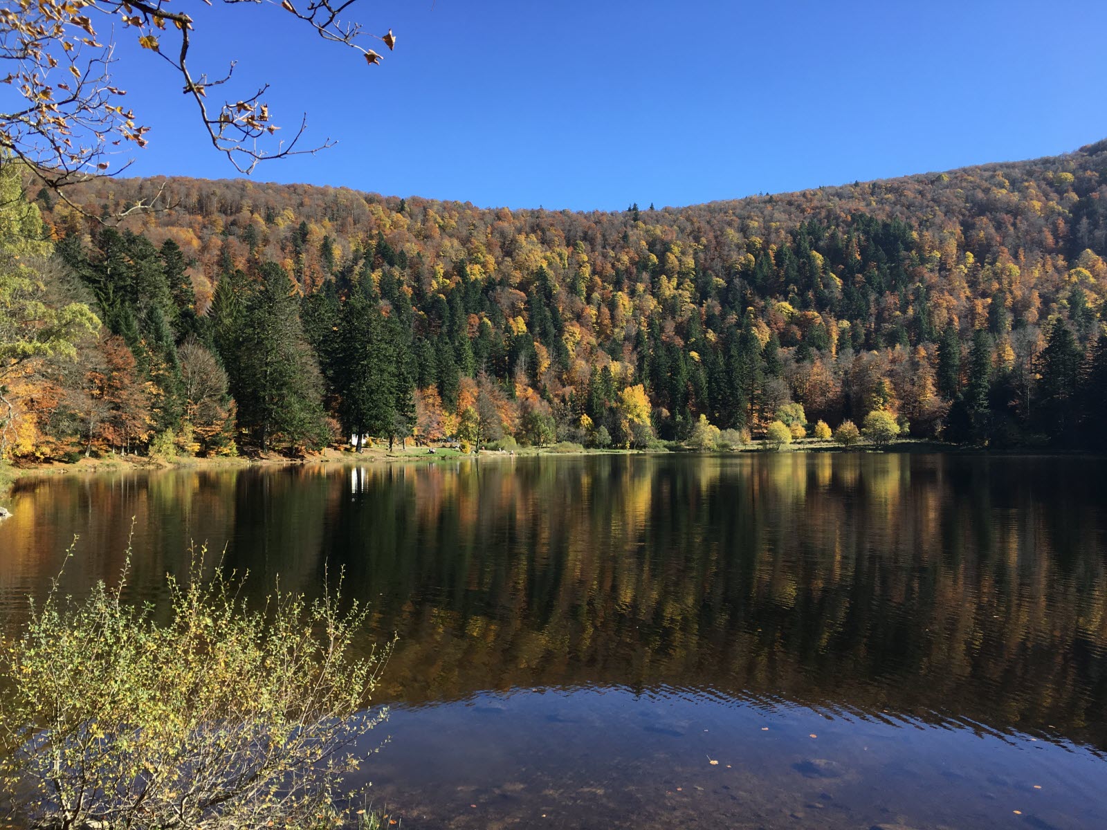
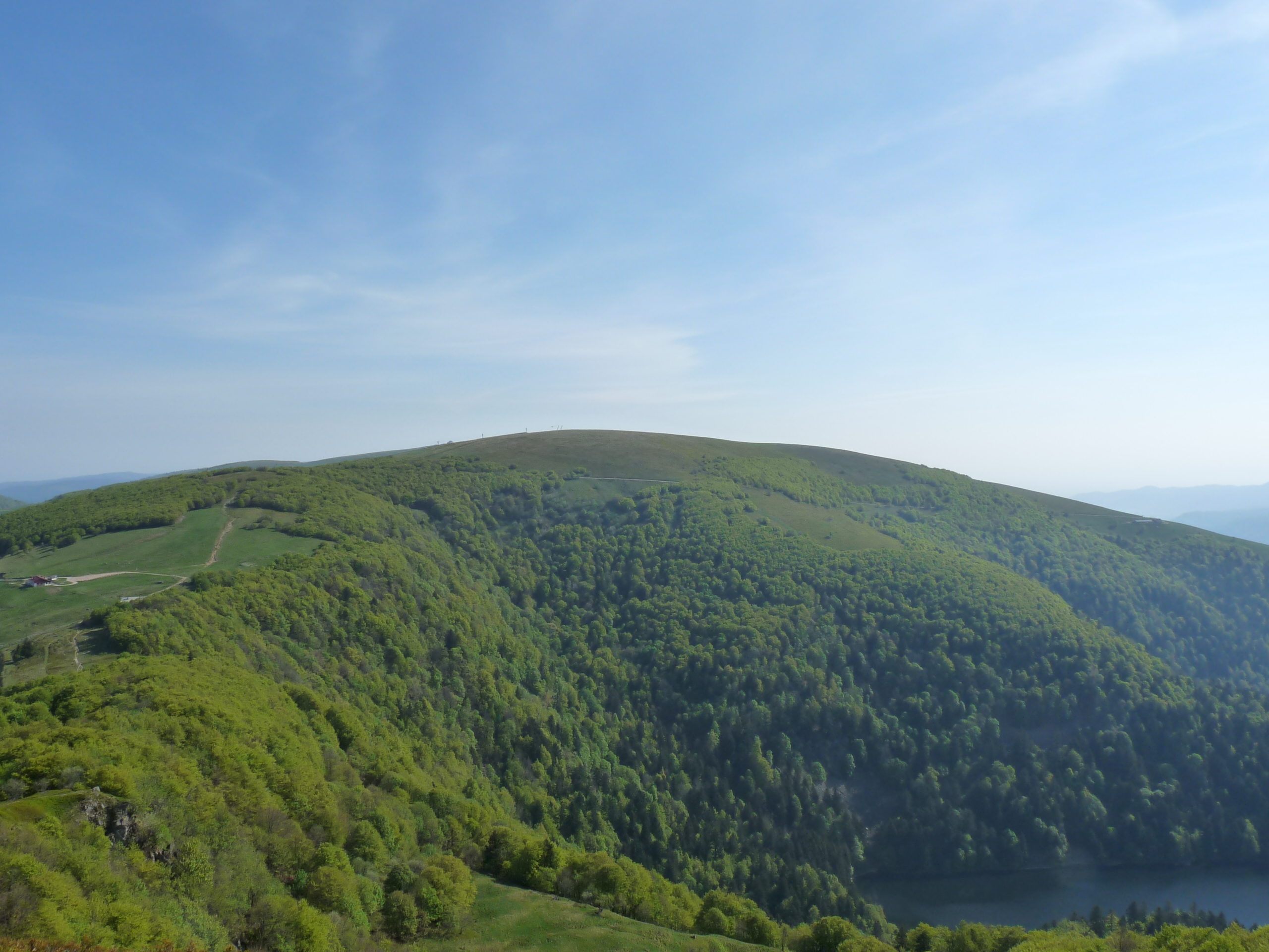
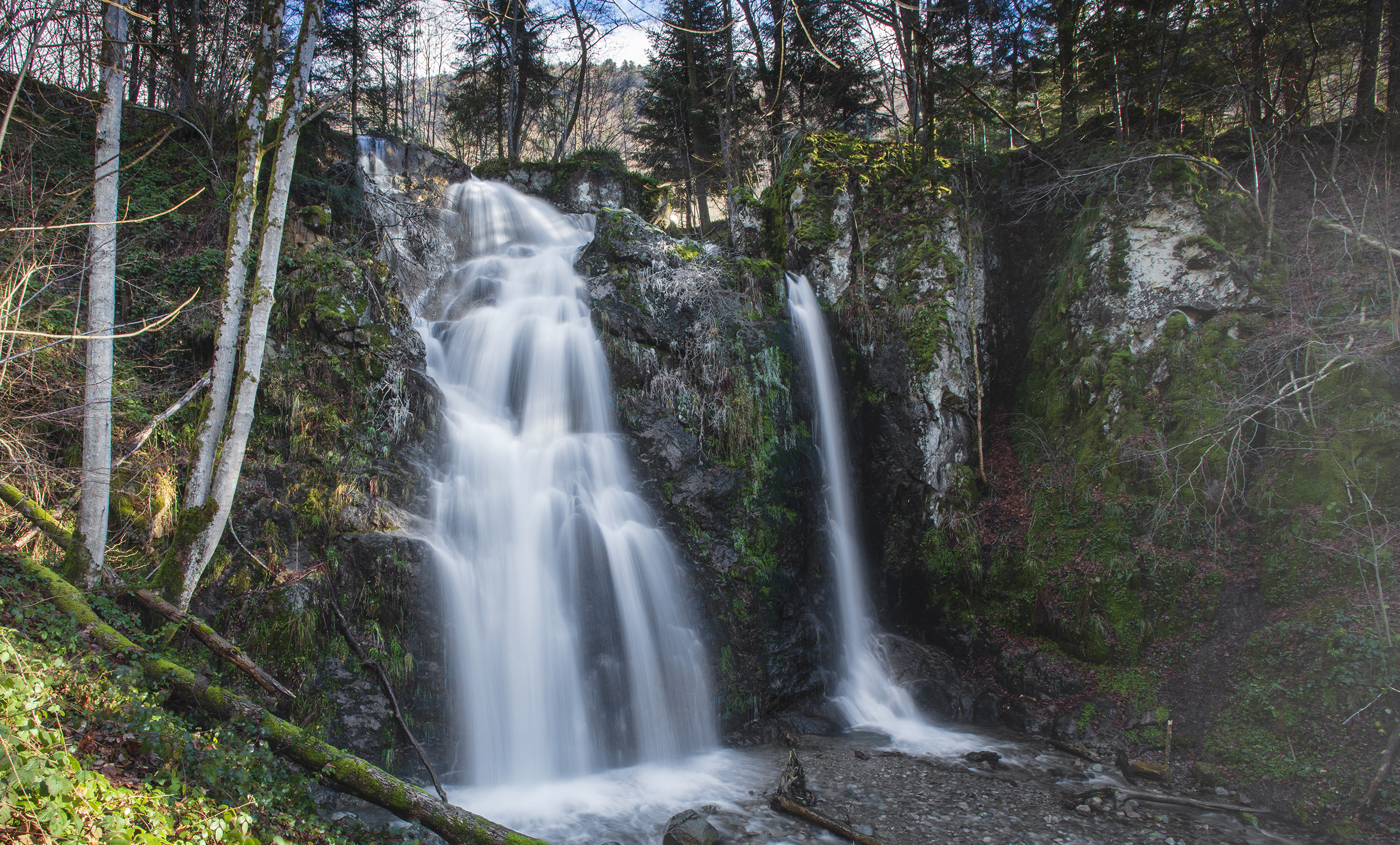
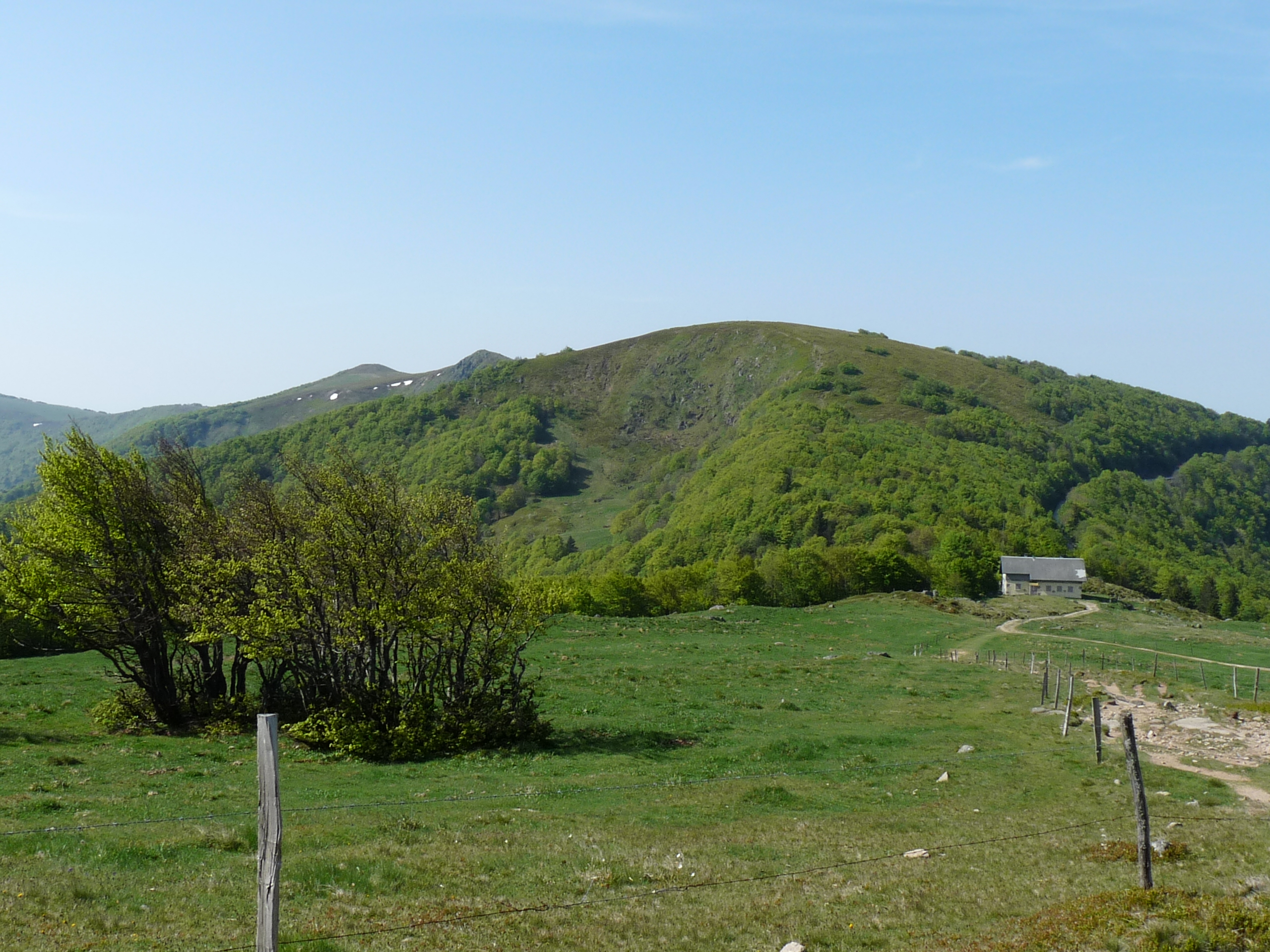
Starting from the Saint-Antoine chapel in Mittlach, this hike leads to the Rainkopf. The path begins by following a stream before leading to Lake Altenweiher. The path then climbs up to Rainkopf (1,305 m), from where the view is splendid.
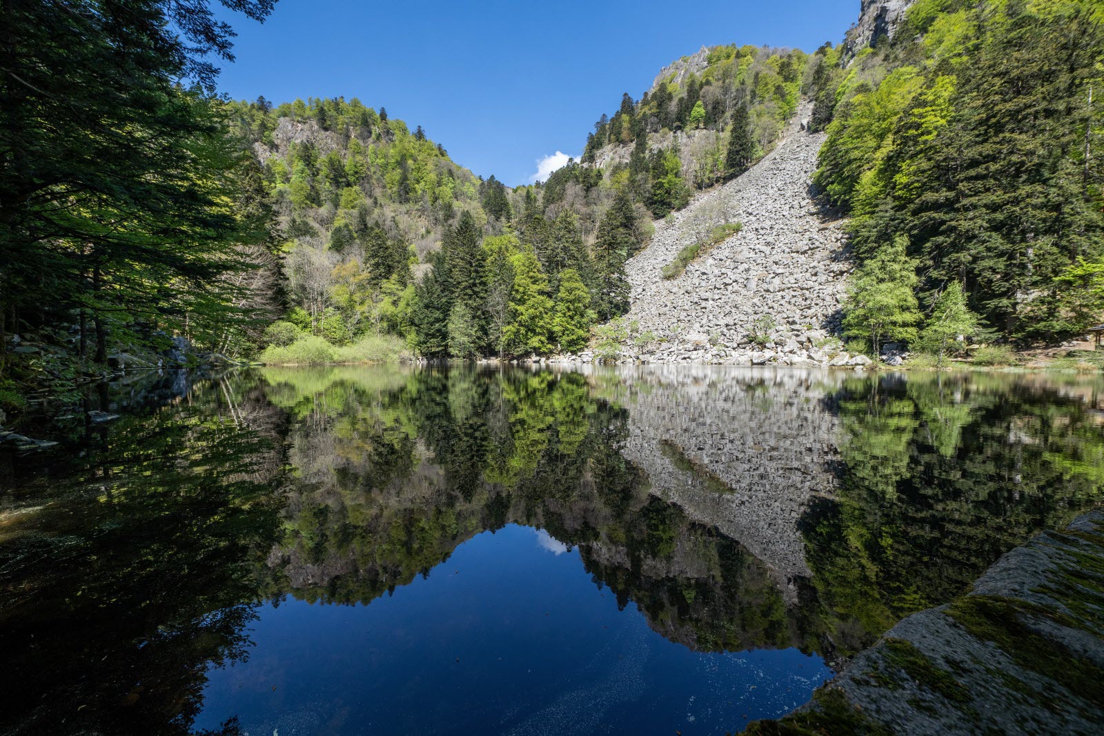
The descent is via the Rainkopf pass, then offers a new view of the Altenweiher.

Already more than 200,000 users!
Uphill
649m
Highest point
1275m
Downhill
649m
Lowest point
703m
Route type
Loop
Download the map on your smartphone to save battery and rest assured to always keep access to the route, even without signal.
Includes IGN France and Swisstopo.
I indicate whether dogs are allowed or prohibited on this trail
Can be difficult in Winter
2 ratings
Also enjoy:

Already more than 200,000 users!