Uphill
390m
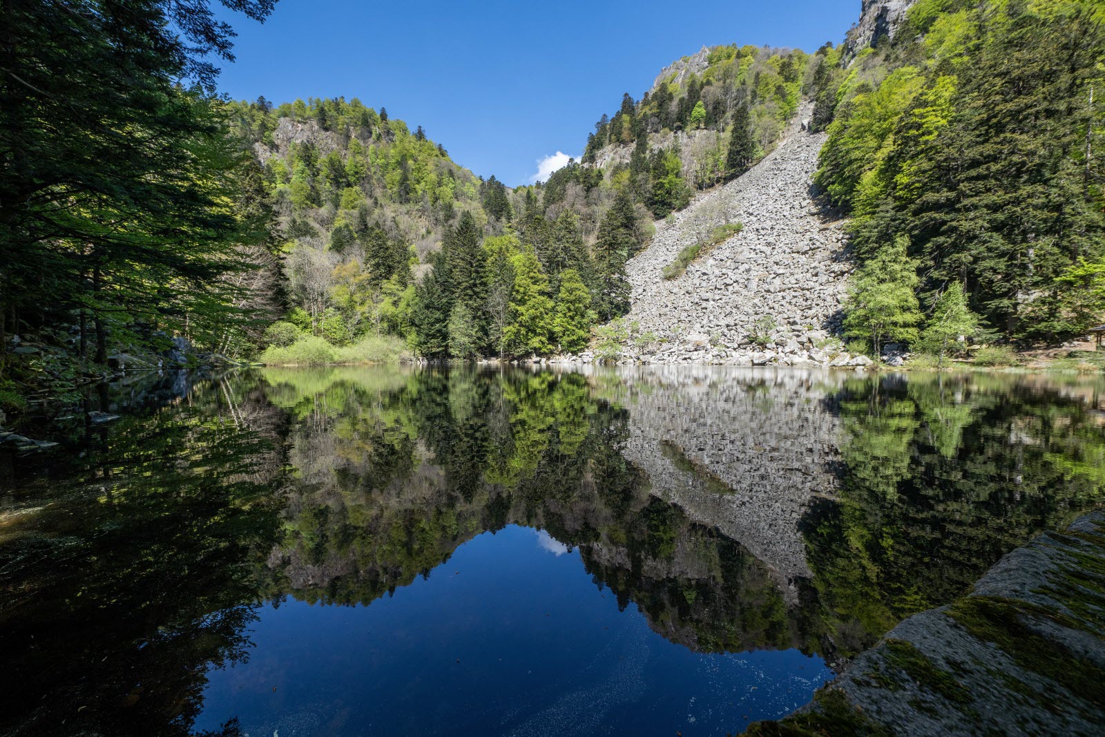
France > Grand Est > Haut-Rhin > Ballons des Vosges Regional Natural Park
Length
7km
Duration
3h
Elev gain
390m
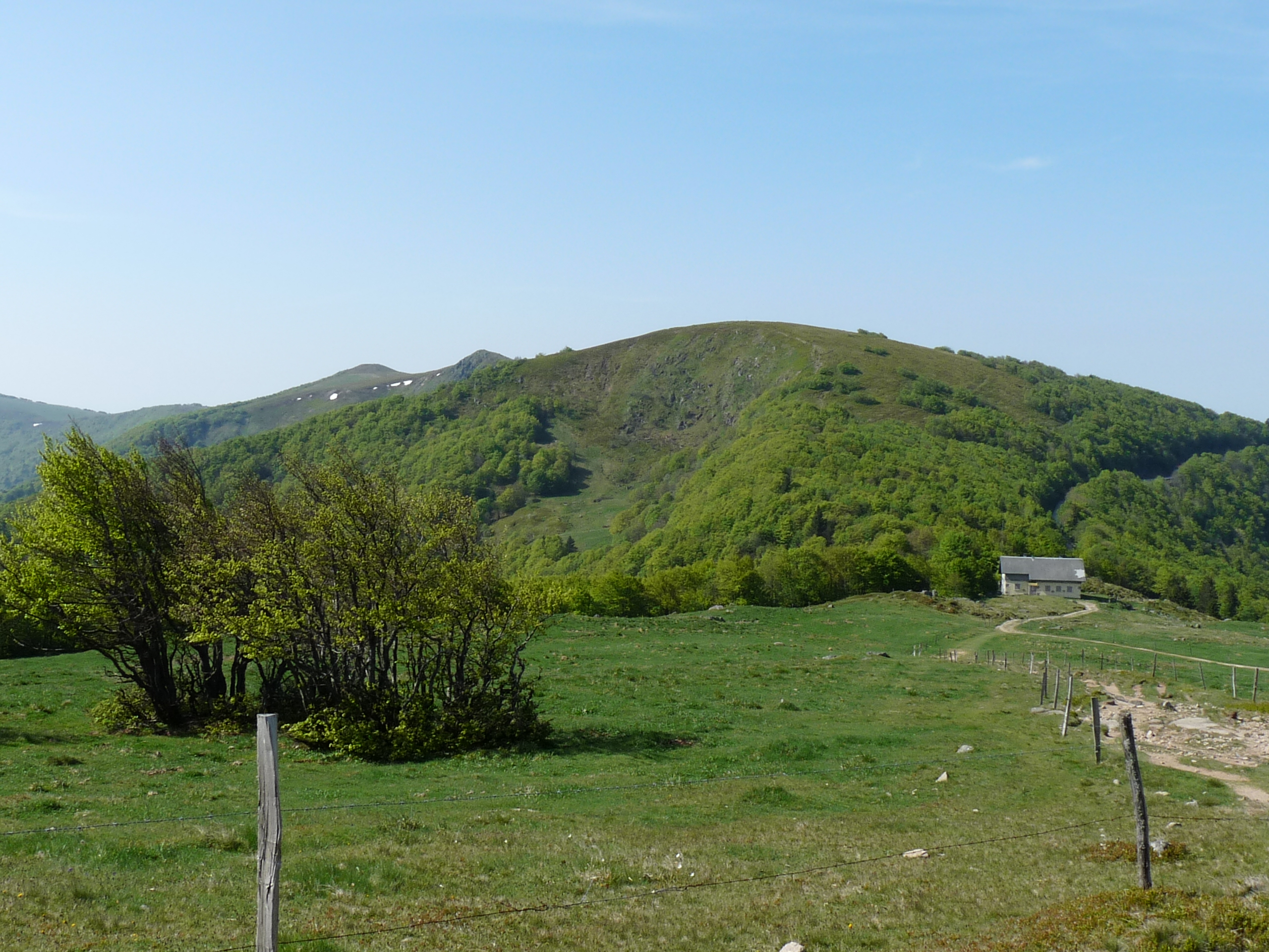
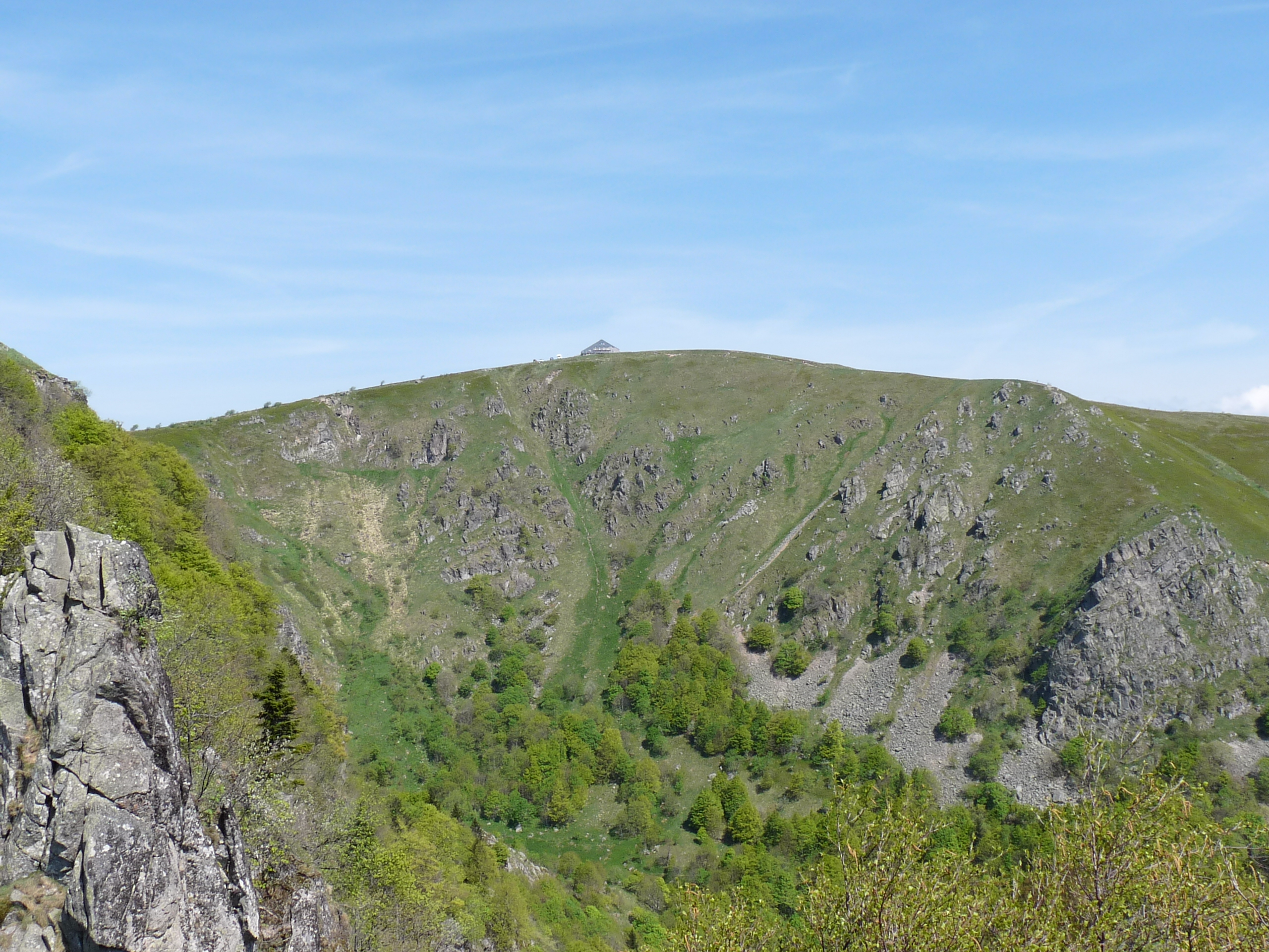
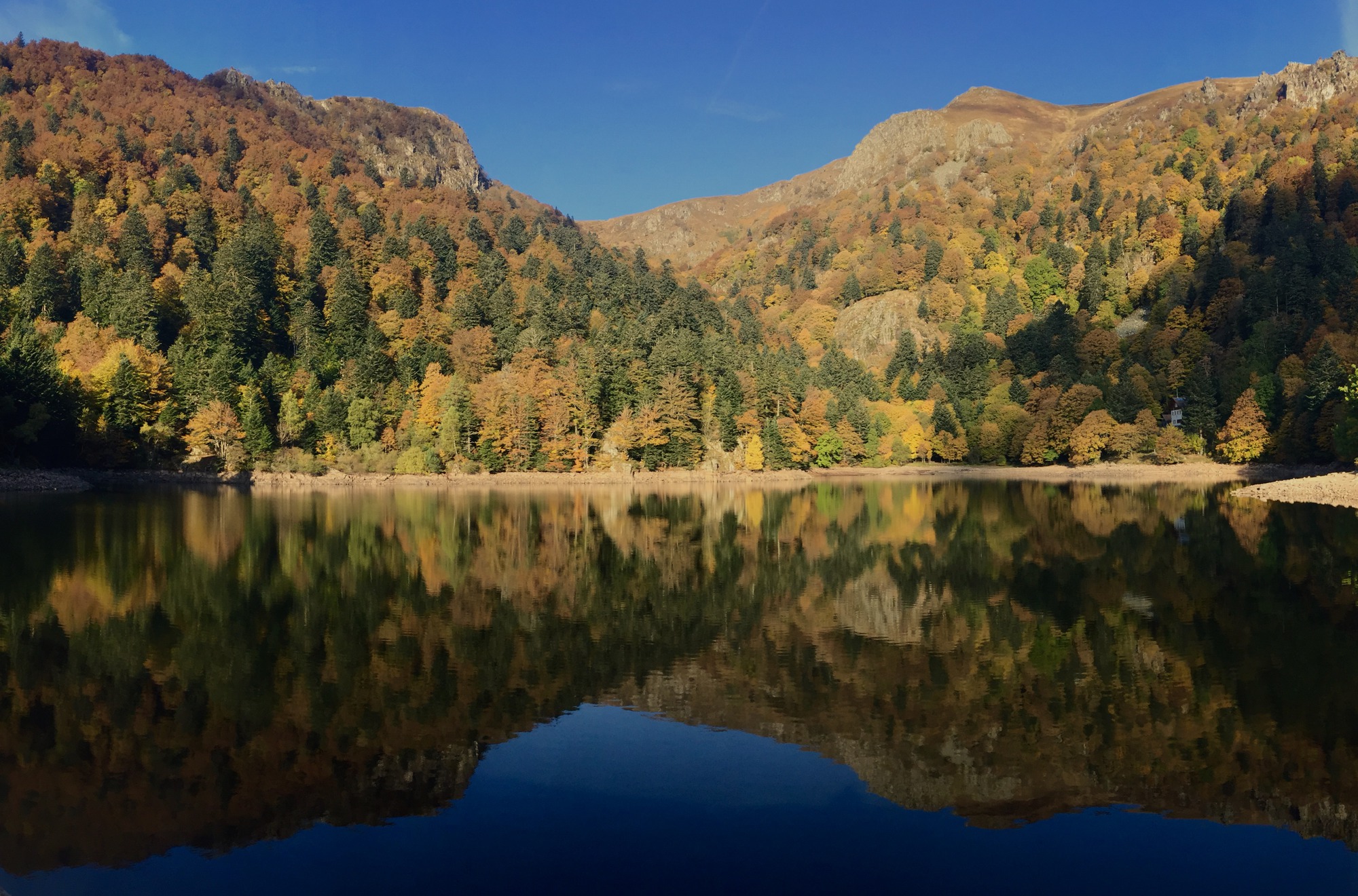
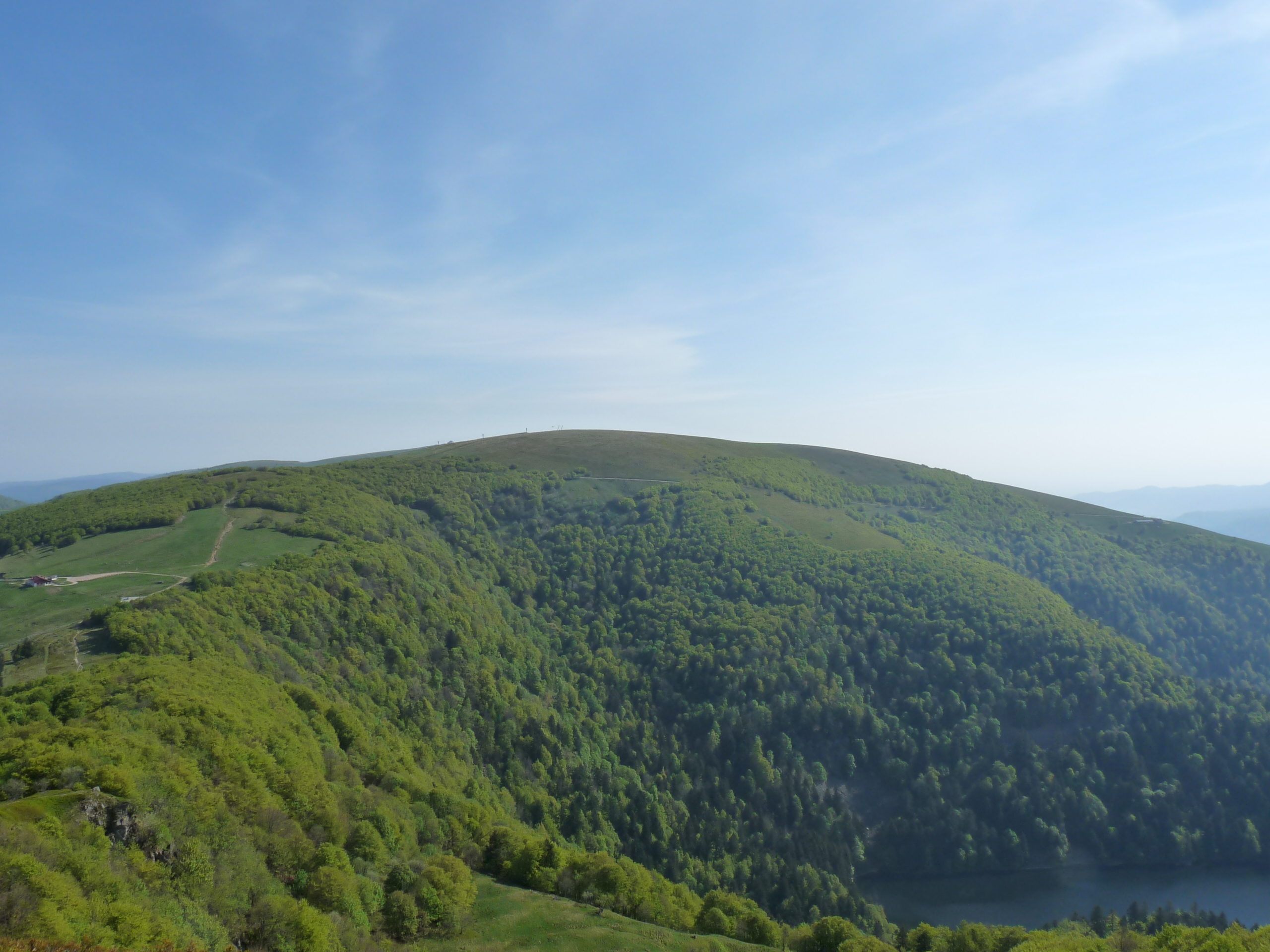
This is a beautiful hike starting from Mittlach, climbing up to the charming lake of Fischboedle, before returning to the starting point along the Wormsabach. On the program: forest, rocks, streams and panoramas.

Already more than 200,000 users!
Uphill
390m
Highest point
894m
Downhill
390m
Lowest point
528m
Route type
Loop
Download the map on your smartphone to save battery and rest assured to always keep access to the route, even without signal.
Includes IGN France and Swisstopo.
1 rating
Also enjoy:

Already more than 200,000 users!