Uphill
322m
Length
7km
Duration
2h30min
Elev gain
322m
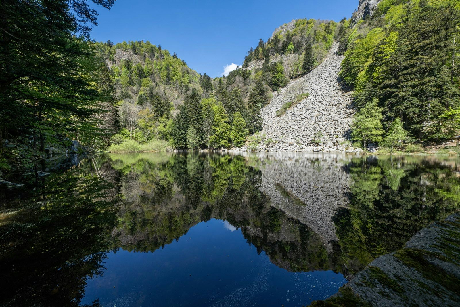
Here is a hike starting from Metzeral and leading to Lake Fischboedle. On the outward journey, the rocky path runs along a stream before emerging on the very beautiful lake. The return to the starting point is via a forest path.

Already more than 200,000 users!
Uphill
322m
Highest point
816m
Downhill
322m
Lowest point
504m
Route type
Loop
Download the map on your smartphone to save battery and rest assured to always keep access to the route, even without signal.
Includes IGN France and Swisstopo.
I indicate whether dogs are allowed or prohibited on this trail
All year
0 ratings
Also enjoy:

Already more than 200,000 users!


