Uphill
603m
Length
13km
Duration
5h
Elev gain
603m
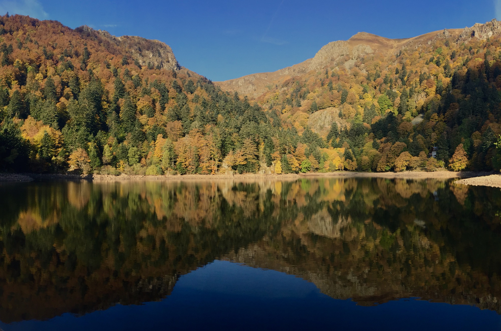
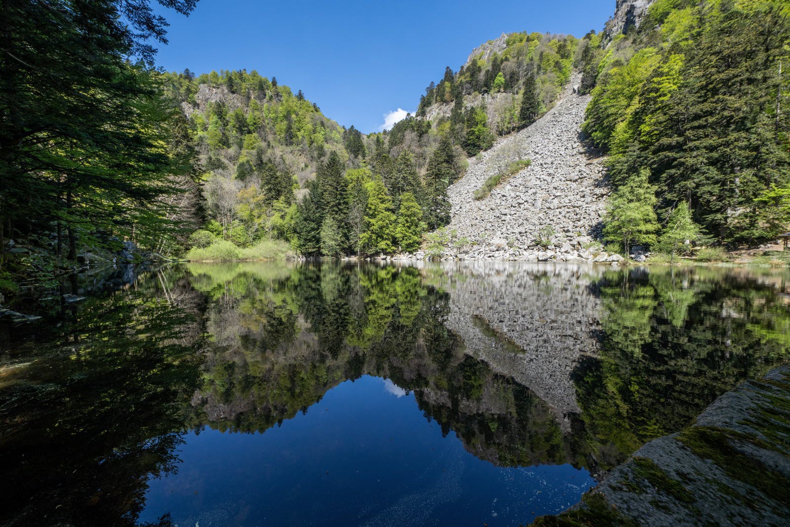
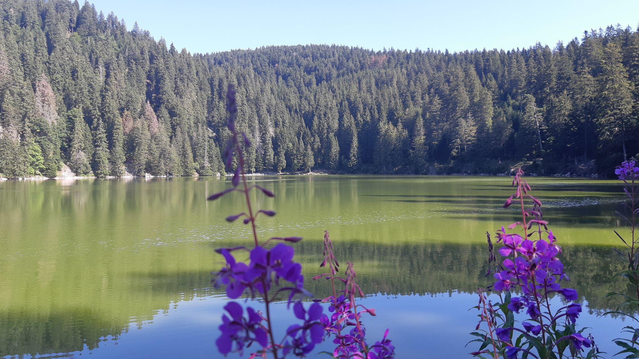
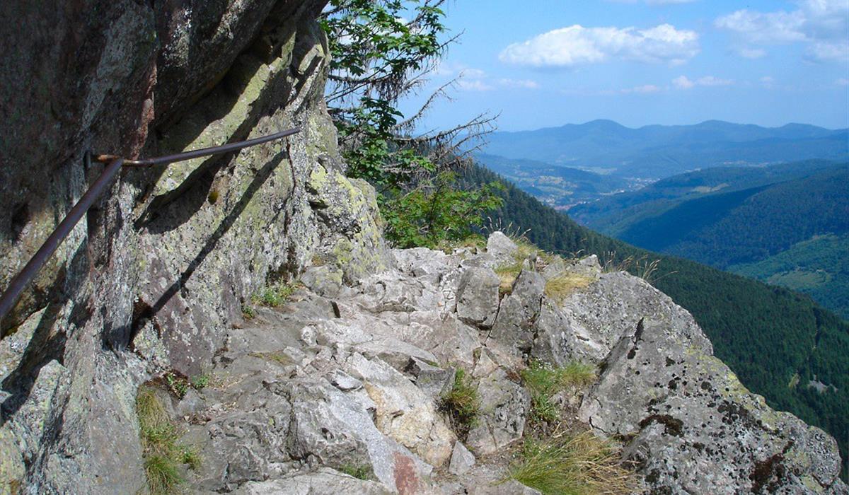
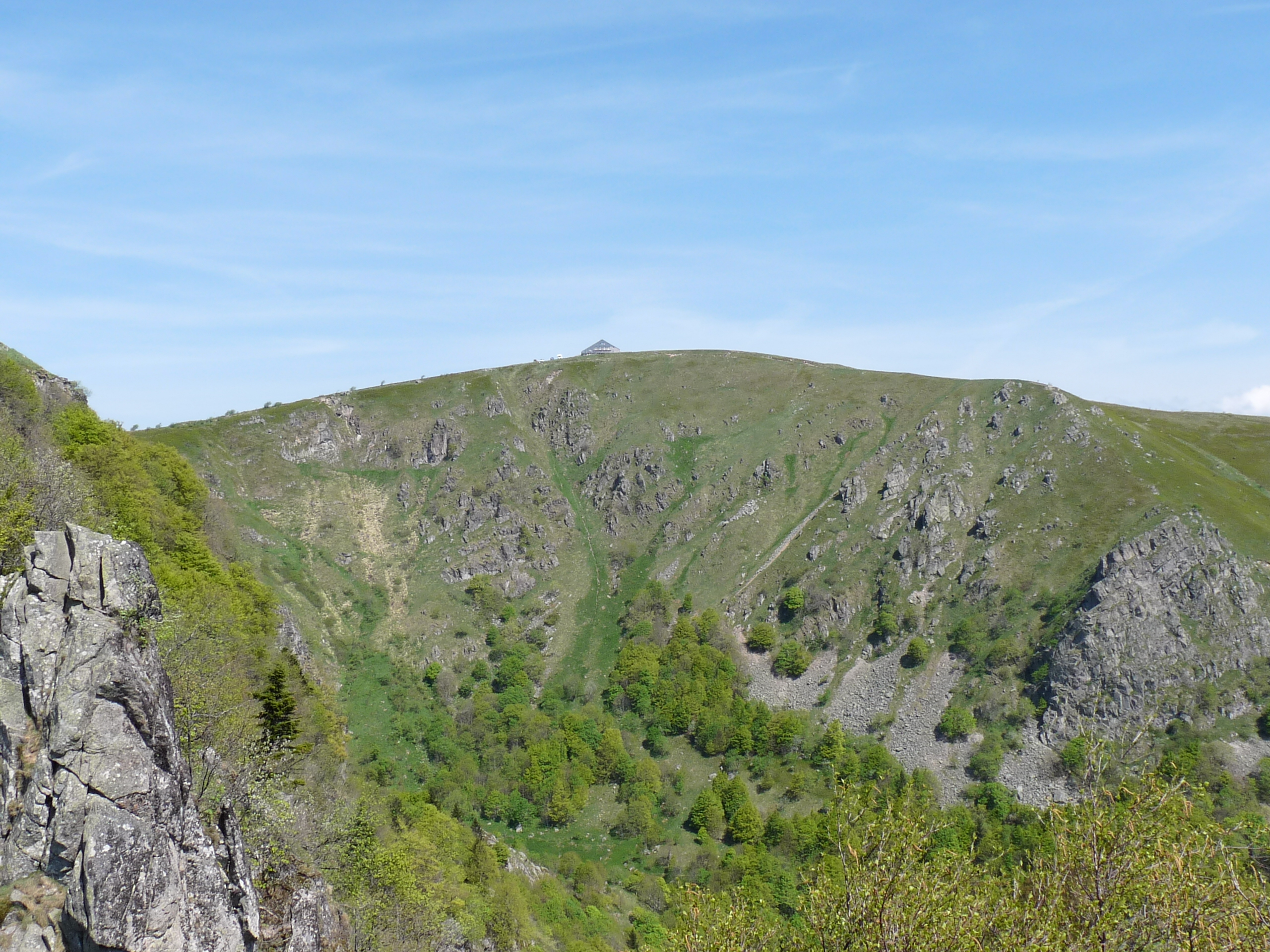
Popular hike starting from the Gaschney ski resort. The route makes a loop passing by the small lake of Schiessrothried as well as the Hohneck, the highest point of the hike. Up there, the view of the plain and the black forest is spectacular. The return is via the Schaeferthal pass in a magnificent setting.

Already more than 200,000 users!
Uphill
603m
Highest point
1356m
Downhill
603m
Lowest point
921m
Route type
Loop
Download the map on your smartphone to save battery and rest assured to always keep access to the route, even without signal.
Includes IGN France and Swisstopo.
I indicate whether dogs are allowed or prohibited on this trail
Can be difficult in Winter
4 ratings
Très belle randonnée réalisée en 3h30. Quelques passages étroits et raides mais sans grande difficulté. D’autres chemins bien balisés et plus court / direct sont possibles depuis le grand parking qui marque le départ de celle-ci.
Also enjoy:

Already more than 200,000 users!