Uphill
545m
Length
13km
Duration
4h30min
Elev gain
545m
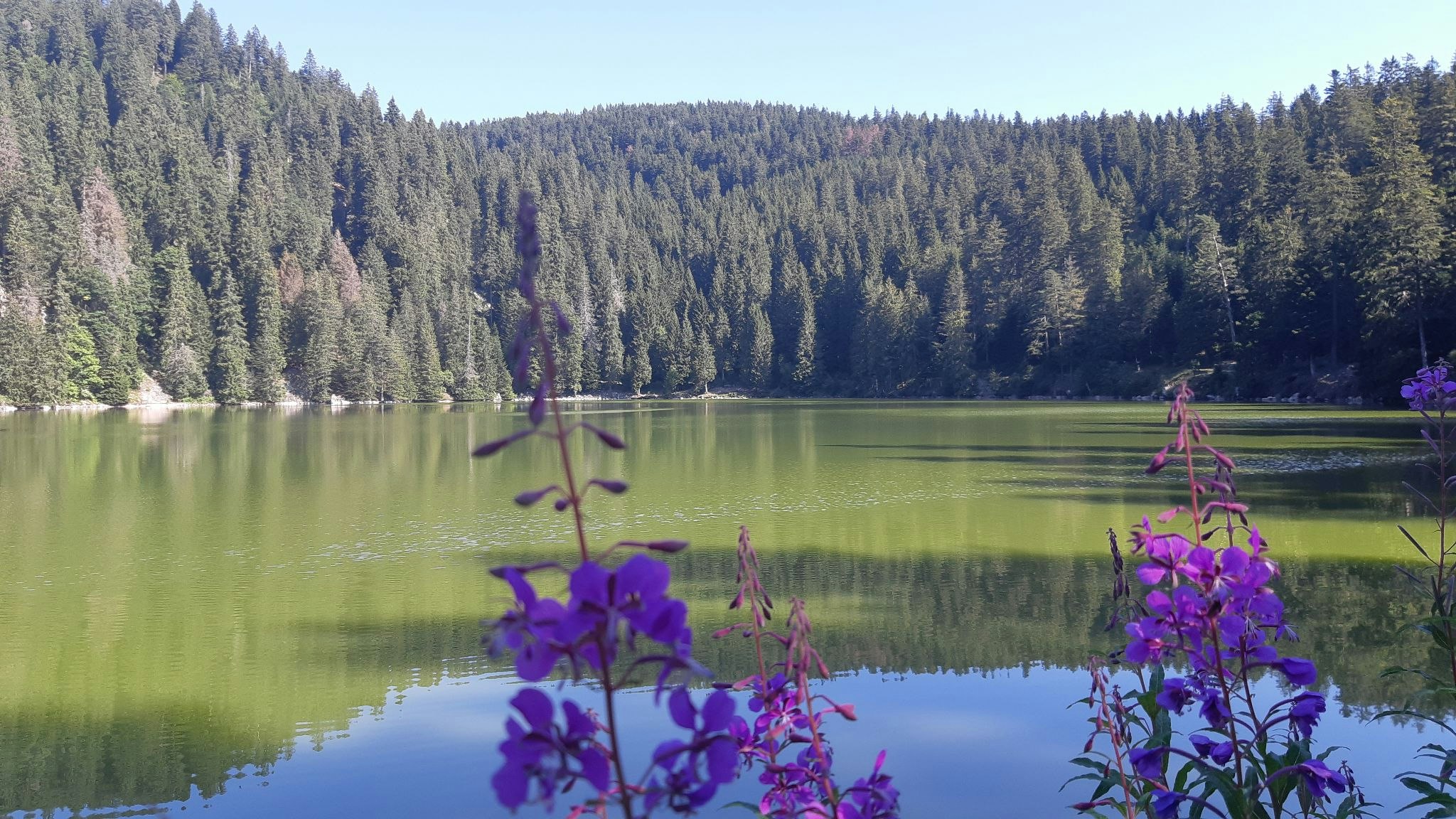
This beautiful hike begins at the Col de la Schlucht. The path passes over the rocks of the Hirschsteine before leading to the magnificent Lac Vert. Note that some passages are dizzying but relatively well secured.

Already more than 200,000 users!
Uphill
545m
Highest point
1294m
Downhill
545m
Lowest point
1057m
Route type
Loop
Download the map on your smartphone to save battery and rest assured to always keep access to the route, even without signal.
Includes IGN France and Swisstopo.
I indicate whether dogs are allowed or prohibited on this trail
Can be difficult in Winter
0 ratings
Also enjoy:

Already more than 200,000 users!


