Uphill
545m
Length
10km
Duration
4h
Elev gain
545m
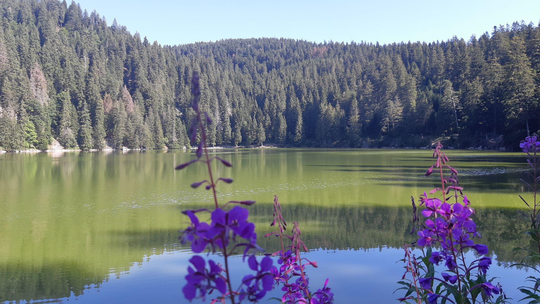
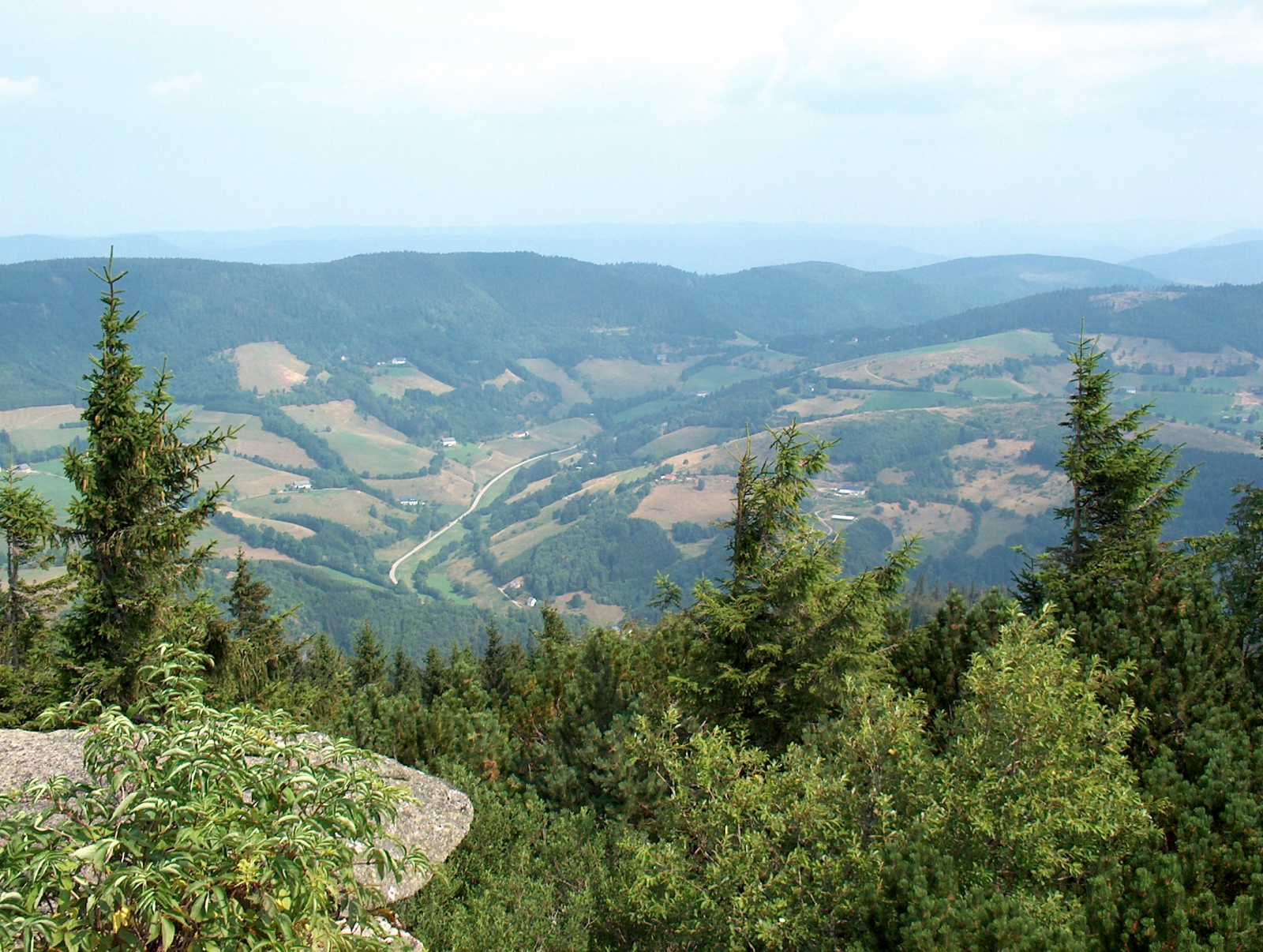
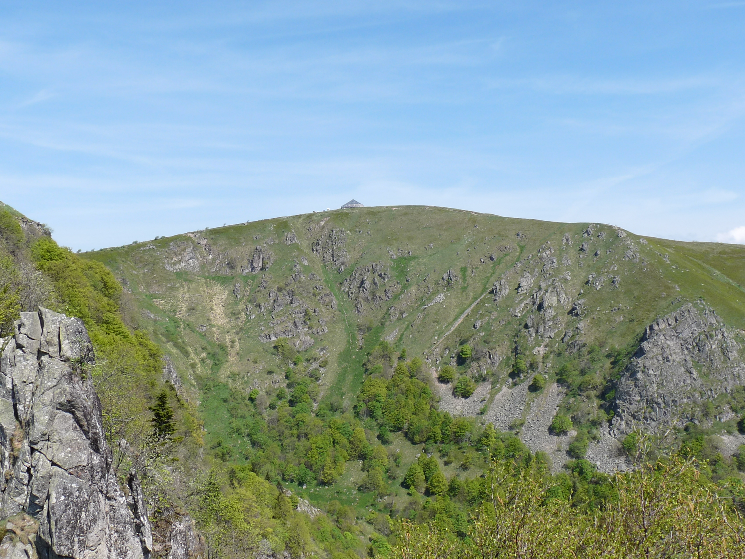
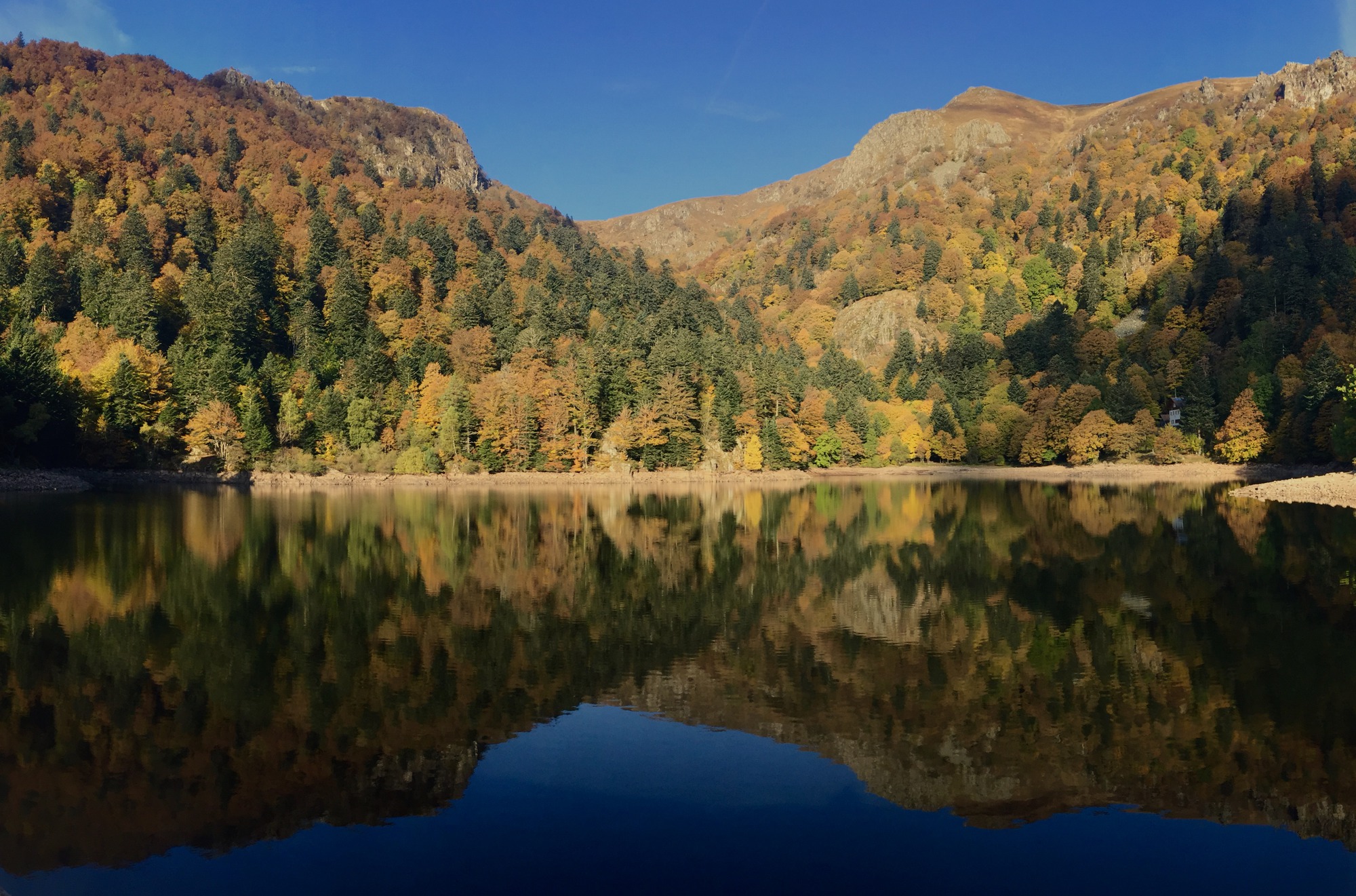
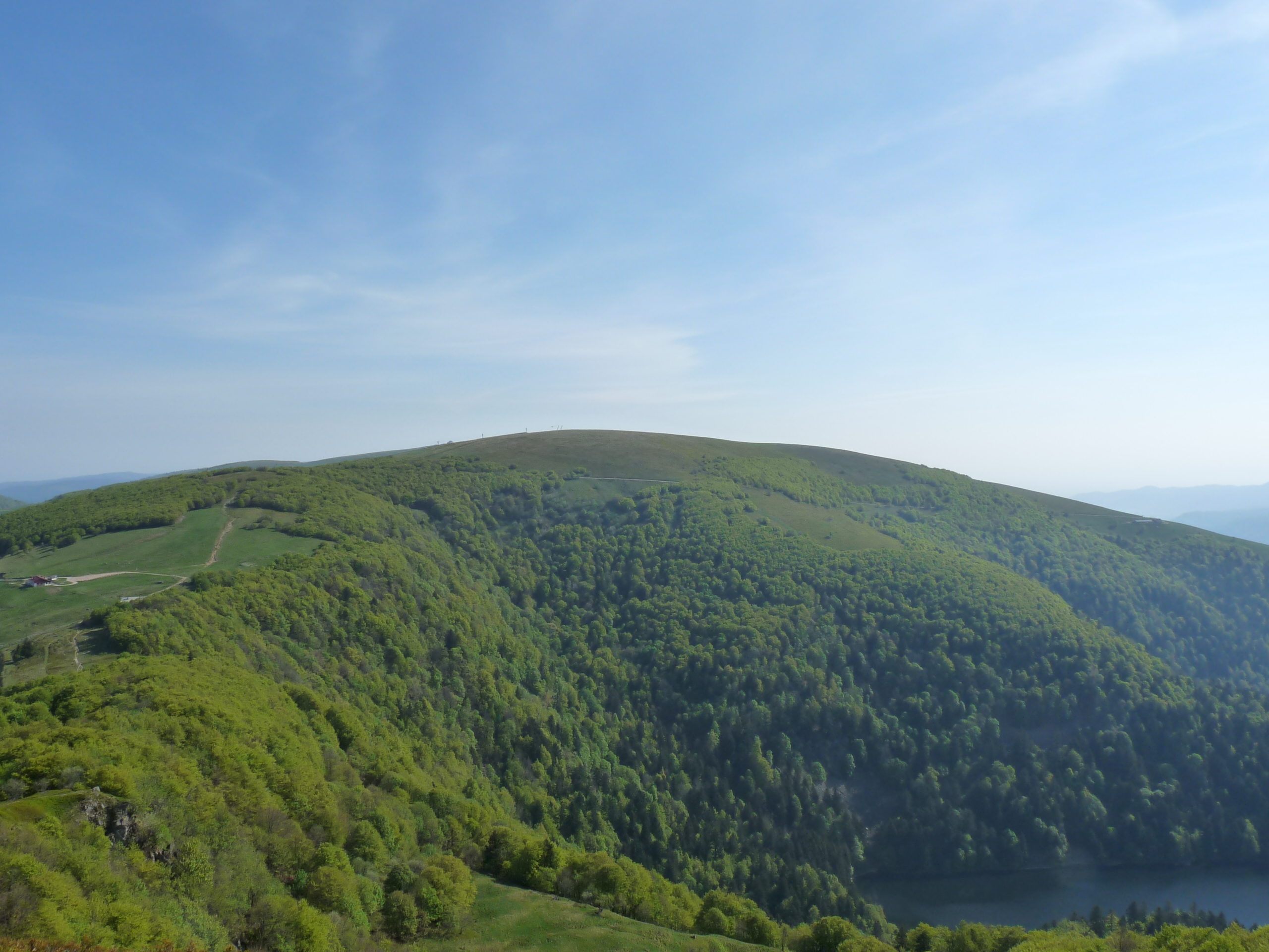
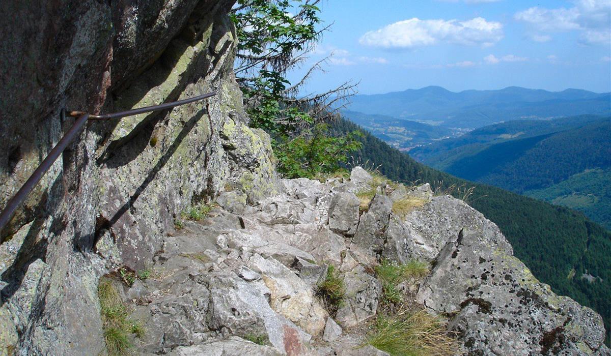
The Sentier des Roches, also known under the names of Felsenpfad and Strohmeyerpfad, is one of the most original trails in the Vosges. Created at the beginning of the 20th century, it is partly cut in the rock and has several walkways and stairs, making both its difficulty and its reputation.
Please note: this trail is technical and should be avoided by people prone to vertigo.

Already more than 200,000 users!
Uphill
545m
Highest point
1358m
Downhill
545m
Lowest point
966m
Route type
Loop
Download the map on your smartphone to save battery and rest assured to always keep access to the route, even without signal.
Includes IGN France and Swisstopo.
Forbidden
Can be difficult in Winter
11 ratings
Super balade, je conseille vivement de faire cette randonnée 🫶🏼
Hello, world!
Also enjoy:

Already more than 200,000 users!