Uphill
298m
France > Grand Est > Meurthe-et-Moselle > Lorraine Nature Park
Length
13km
Duration
4h
Elev gain
298m
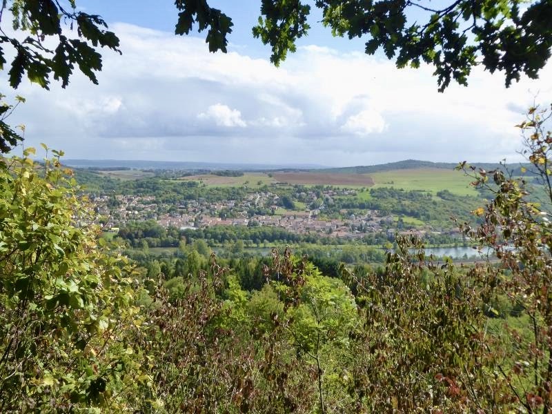
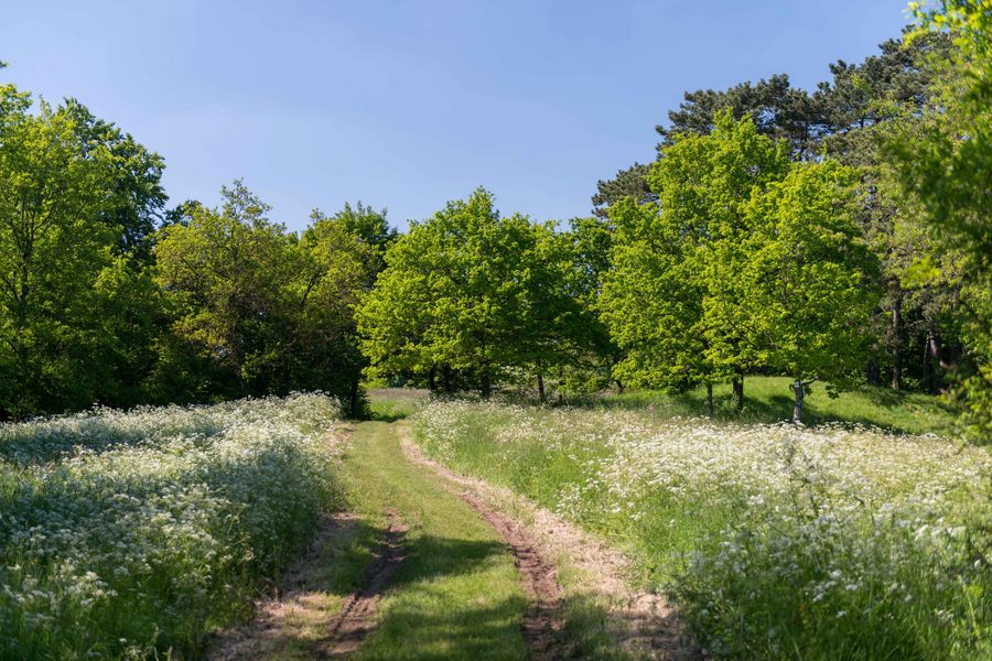
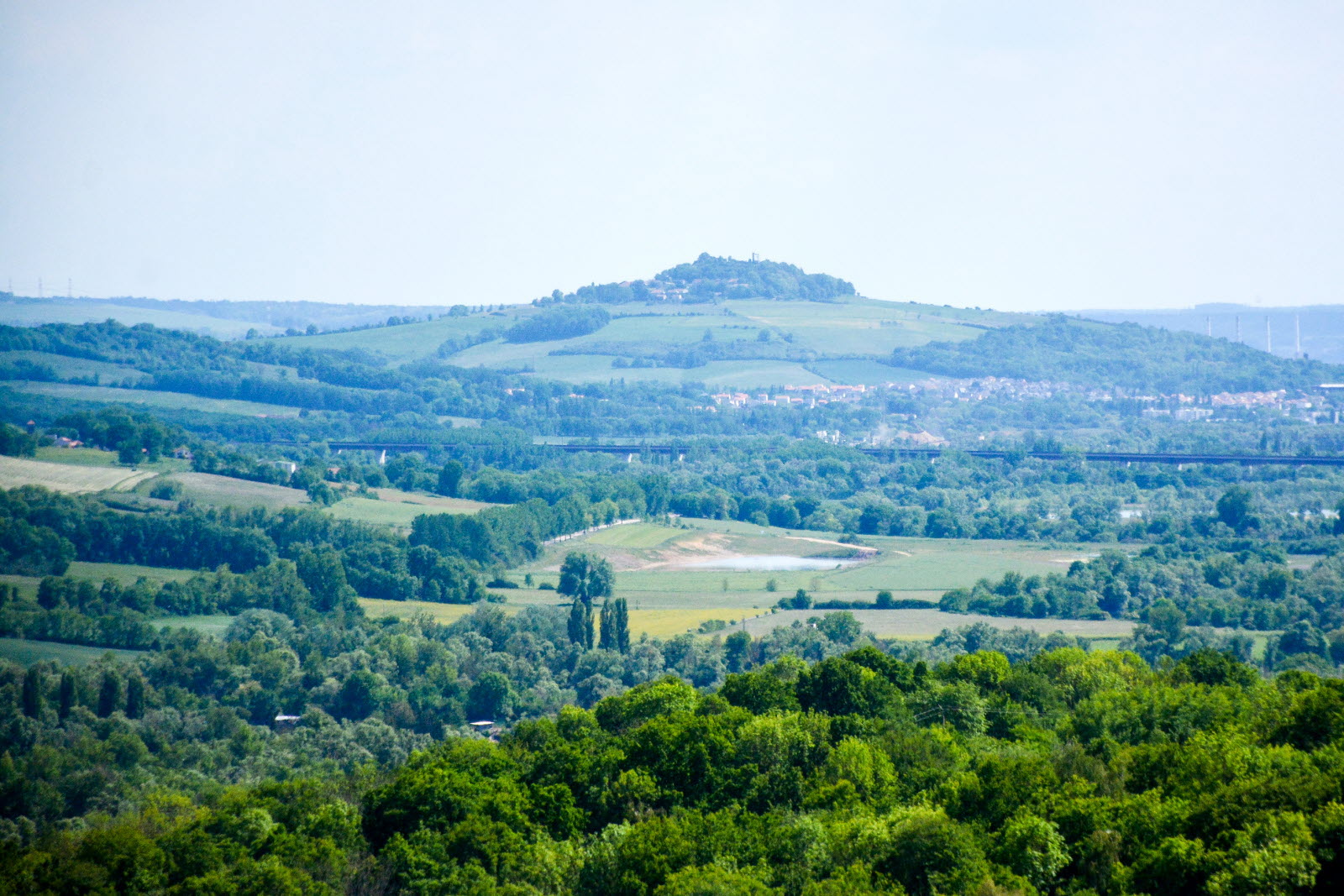
Departing from Arnaville, this route begins in the Rupt de Mad valley, a tributary of the Moselle. After crossing the village of Bayonville, the path climbs into the forest and reaches the Rudemont plateau, which offers a nice view of the surroundings.

Already more than 200,000 users!
Uphill
298m
Highest point
358m
Downhill
298m
Lowest point
174m
Route type
Loop
Download the map on your smartphone to save battery and rest assured to always keep access to the route, even without signal.
Includes IGN France and Swisstopo.
I indicate whether dogs are allowed or prohibited on this trail
All year
2 ratings
Also enjoy:

Already more than 200,000 users!