Uphill
158m
Length
8km
Duration
2h30min
Elev gain
158m
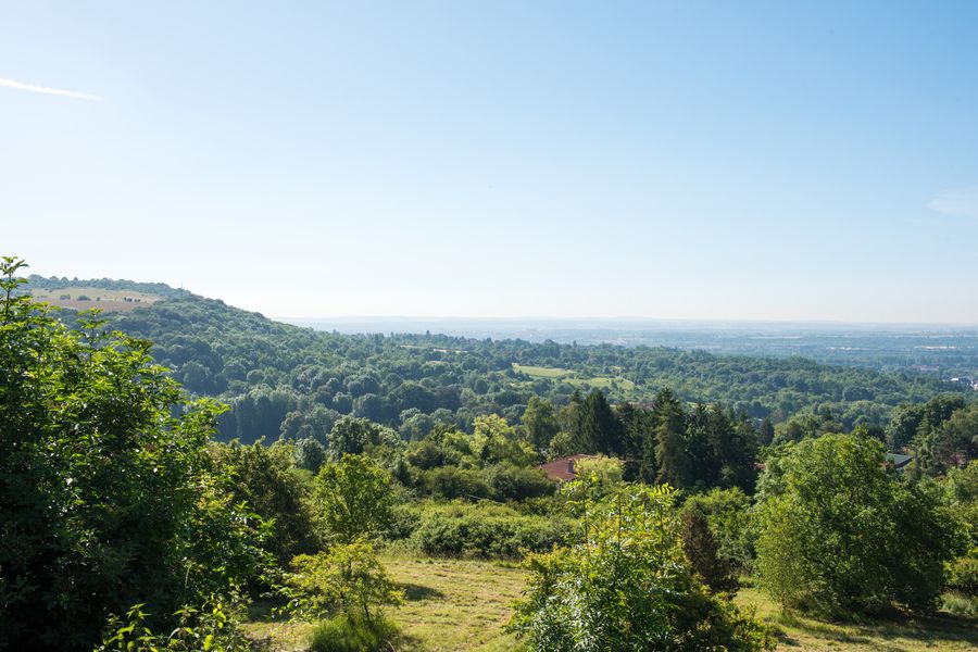
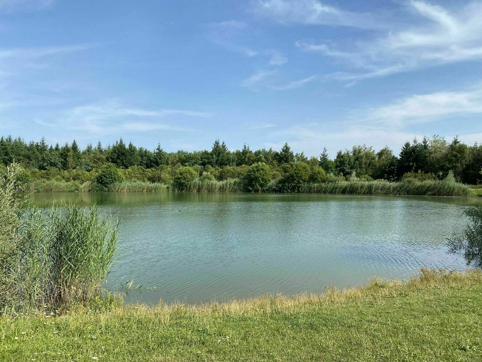
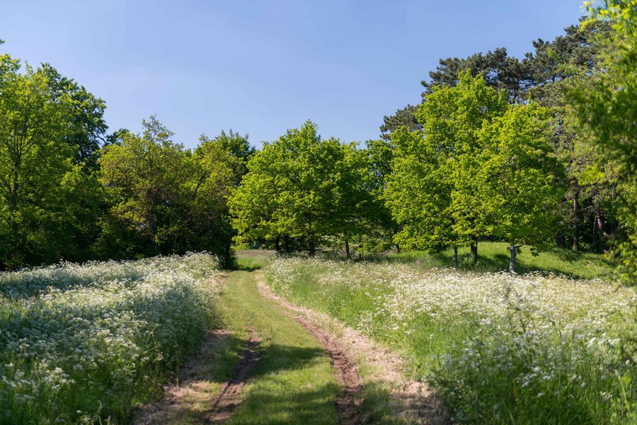
Departing from Châtel-Saint-Germain, this trail leads to a plateau on which there is a farm and the Notre-Dame-du-Gros-Chêne chapel. The rest is done mainly in the forest, near the Montvaux stream.

Already more than 200,000 users!
Uphill
158m
Highest point
367m
Downhill
158m
Lowest point
209m
Route type
Loop
Download the map on your smartphone to save battery and rest assured to always keep access to the route, even without signal.
Includes IGN France and Swisstopo.
2 ratings
Also enjoy:

Already more than 200,000 users!