Uphill
183m
Length
5km
Duration
1h30min
Elev gain
183m
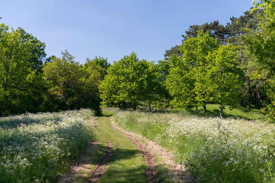
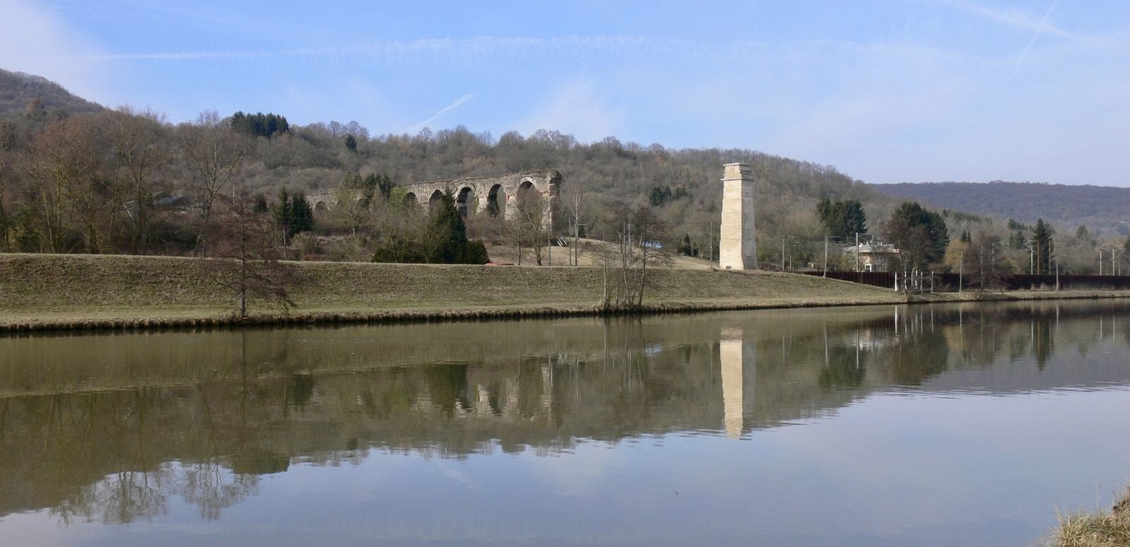
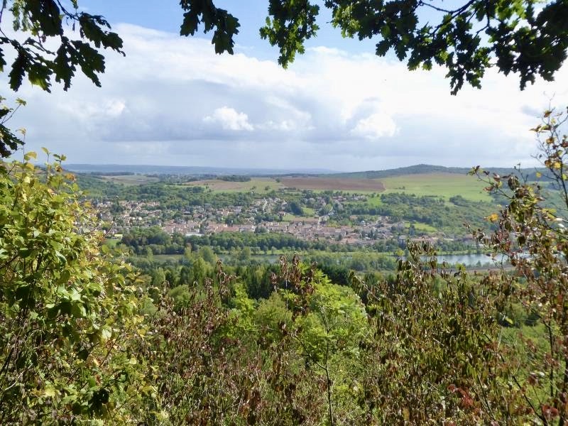
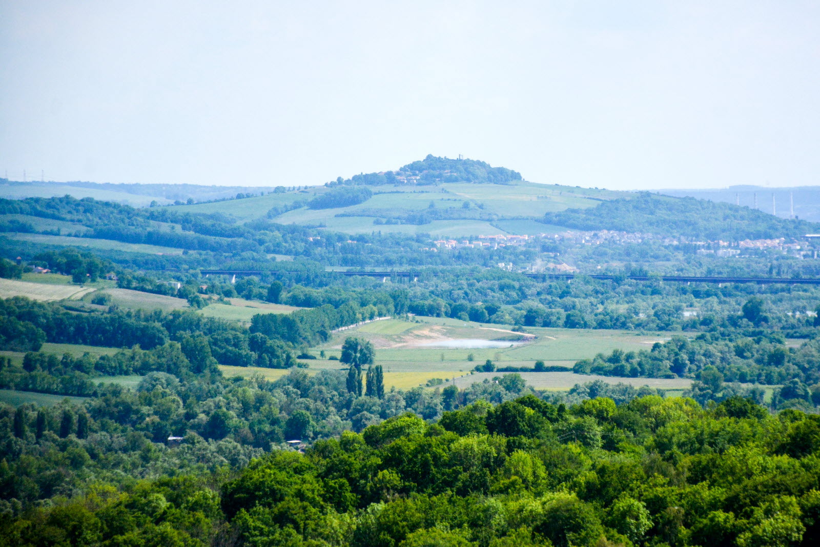
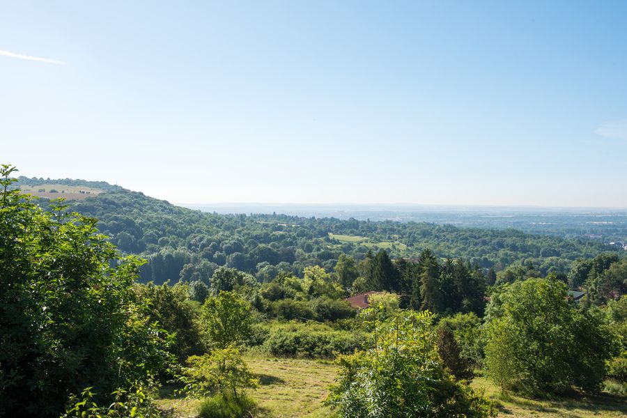
A short distance from Metz, this is a walk on Mont Saint-Quentin which dominates the Moselle valley. The various forts bear witness to the place's military past: Fort Diou, Fort Girardin or Fort de Plappeville. However, nature is reclaiming its rights, and the circuit offers pretty views.

Already more than 200,000 users!
Uphill
183m
Highest point
357m
Downhill
183m
Lowest point
201m
Route type
Loop
Download the map on your smartphone to save battery and rest assured to always keep access to the route, even without signal.
Includes IGN France and Swisstopo.
I indicate whether dogs are allowed or prohibited on this trail
All year
5 ratings
Also enjoy:

Already more than 200,000 users!