Uphill
27m
Length
16km
Duration
4h
Elev gain
27m
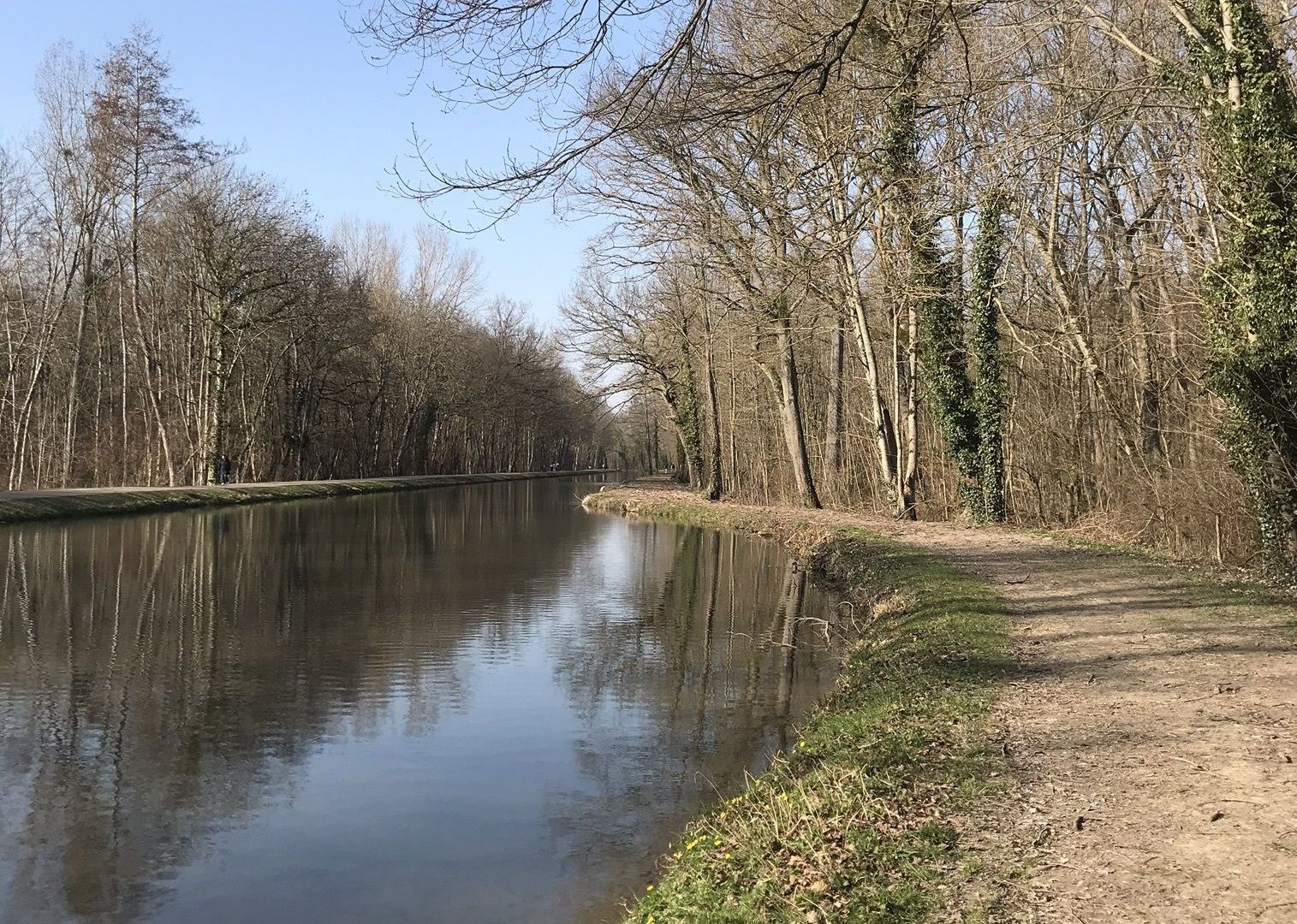
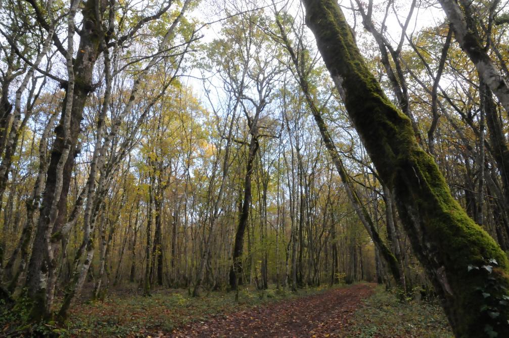
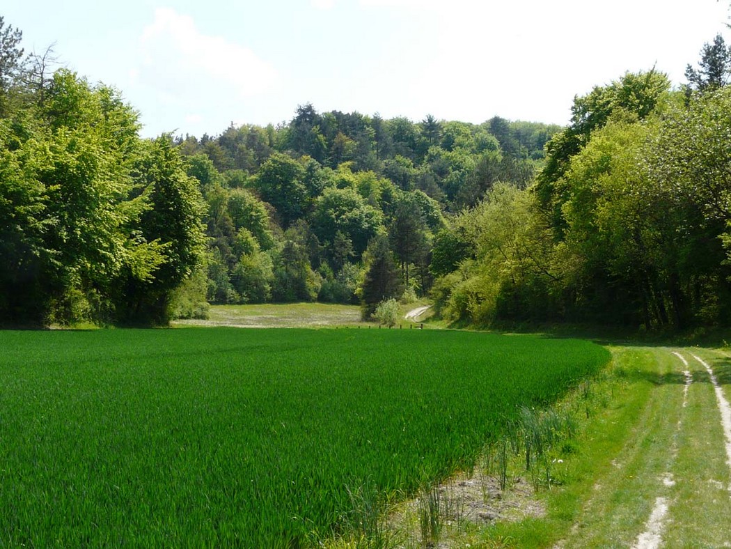
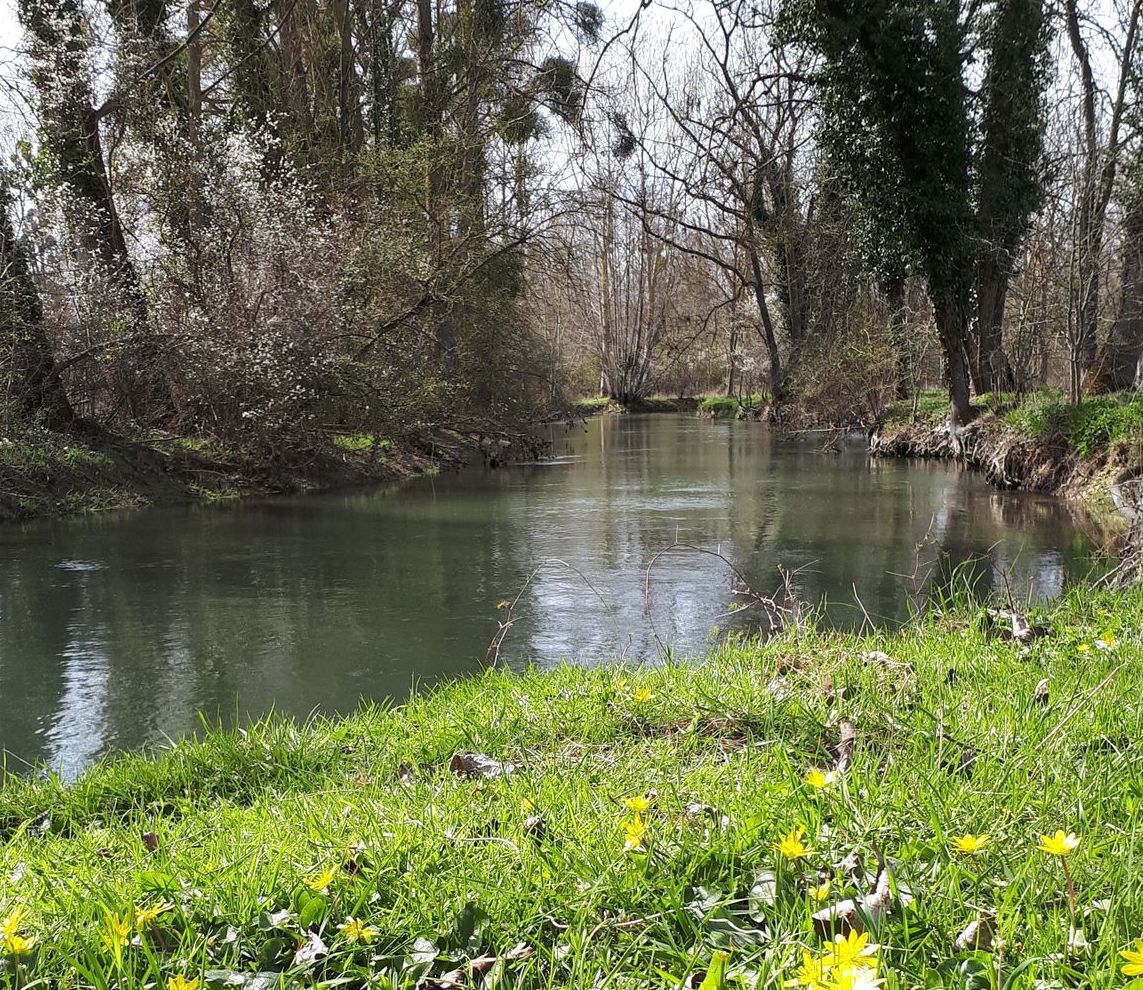
Departing from Vannes, this walk makes a beautiful and long loop in the surroundings. The route takes the towpath on the outward journey, along the Haute-Seine canal, then takes a path a little further inland on the way back to end this superb walk.

Already more than 200,000 users!
Uphill
27m
Highest point
107m
Downhill
27m
Lowest point
81m
Route type
Loop
Download the map on your smartphone to save battery and rest assured to always keep access to the route, even without signal.
Includes IGN France and Swisstopo.
I indicate whether dogs are allowed or prohibited on this trail
All year
0 ratings
Also enjoy:

Already more than 200,000 users!