Uphill
80m
Length
11km
Duration
3h
Elev gain
80m
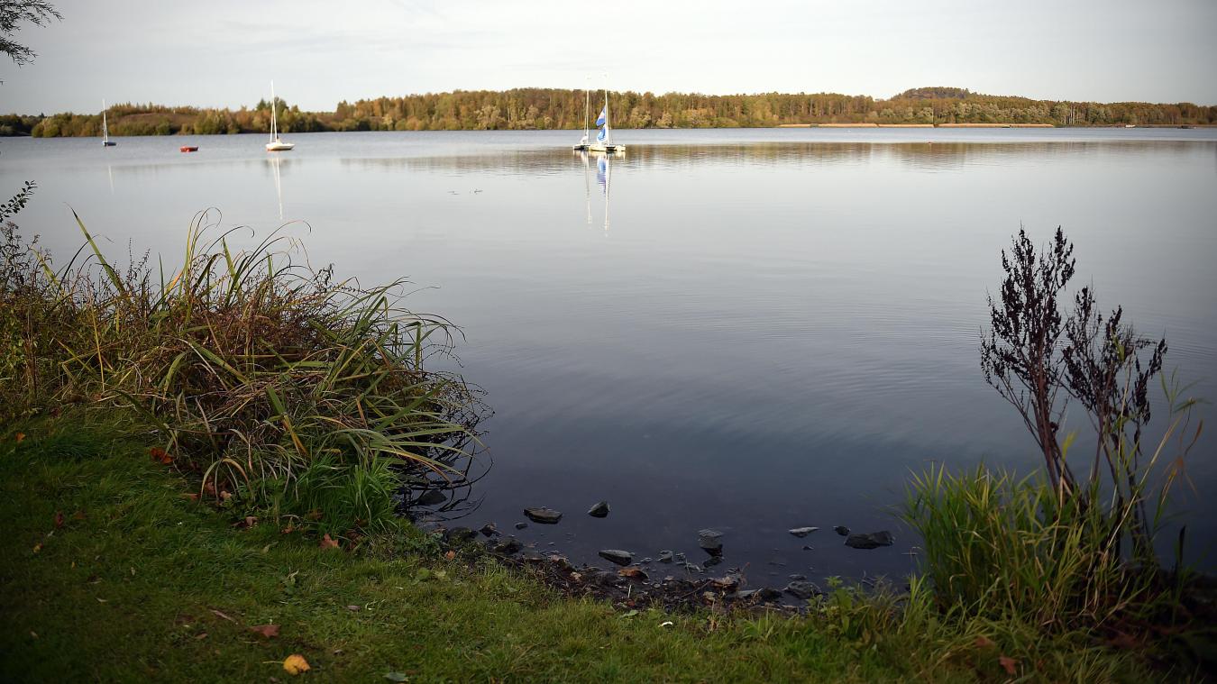
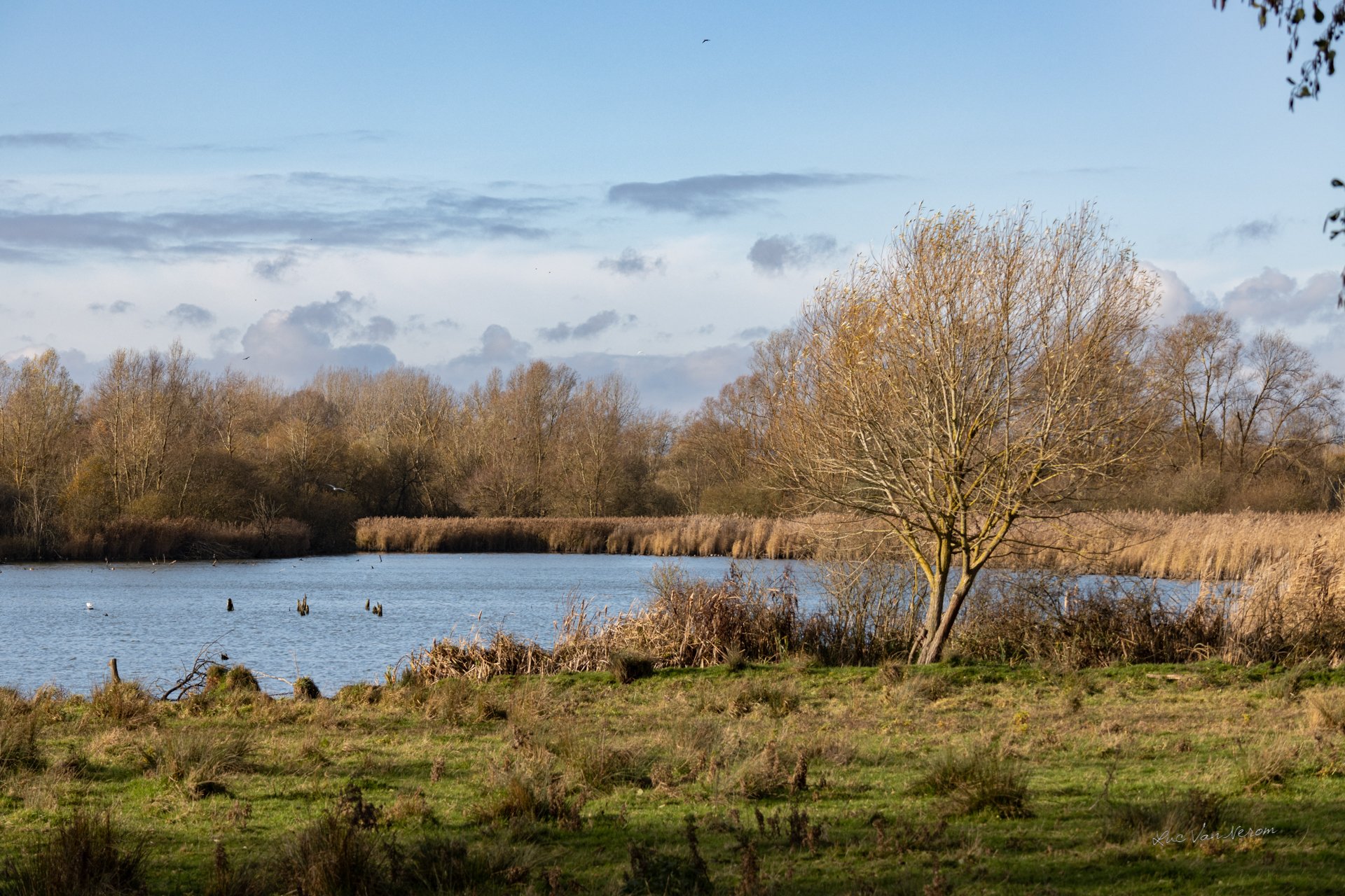
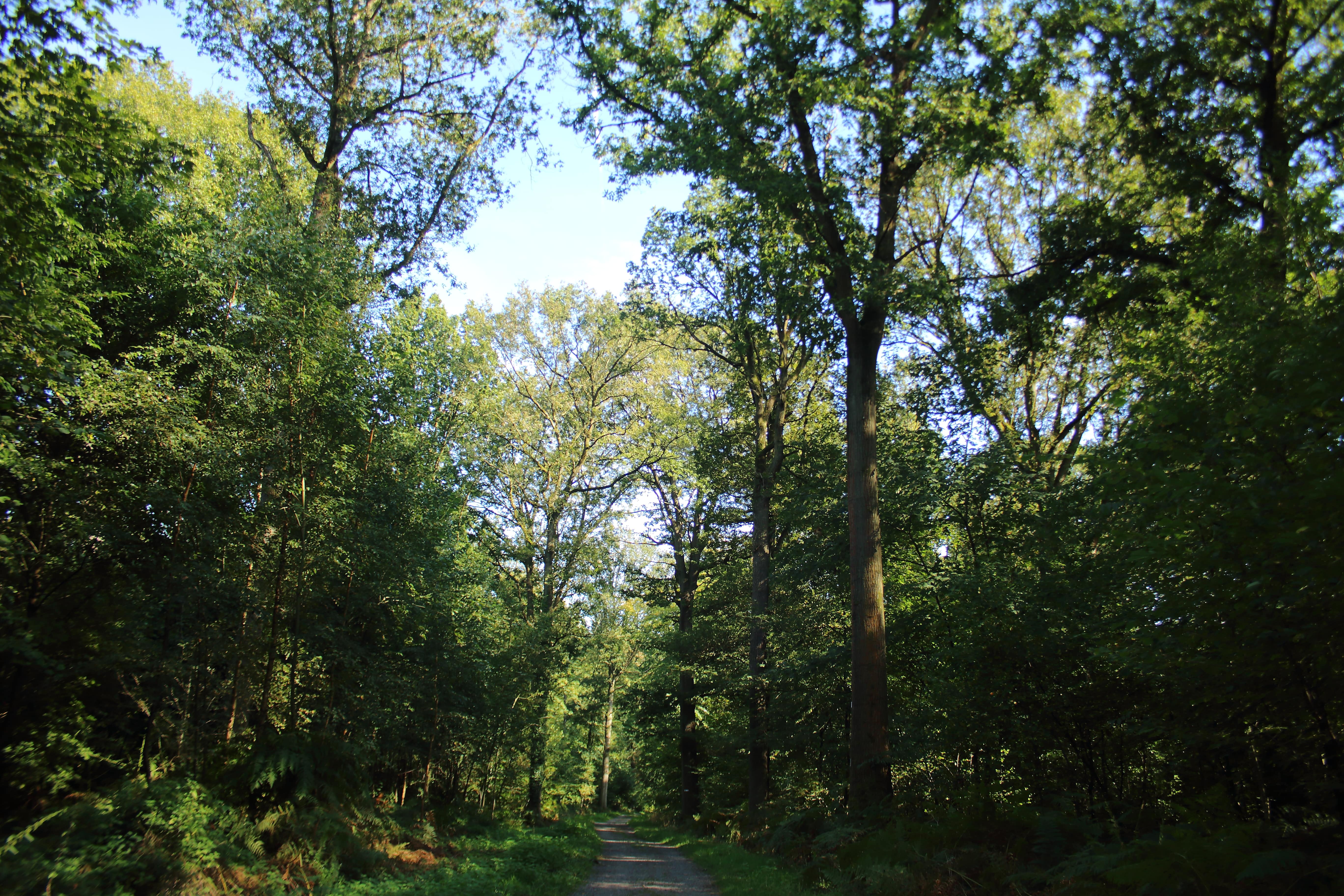
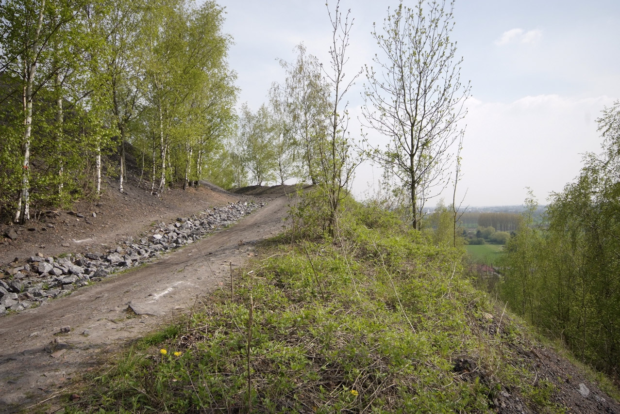
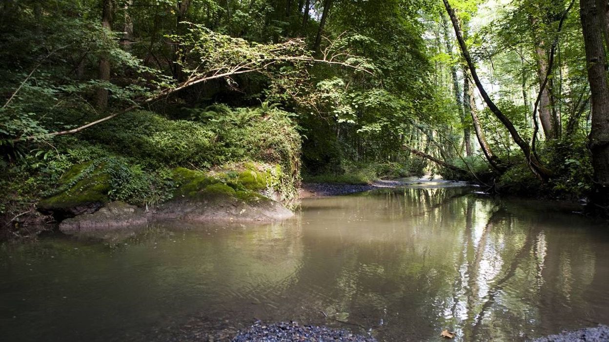
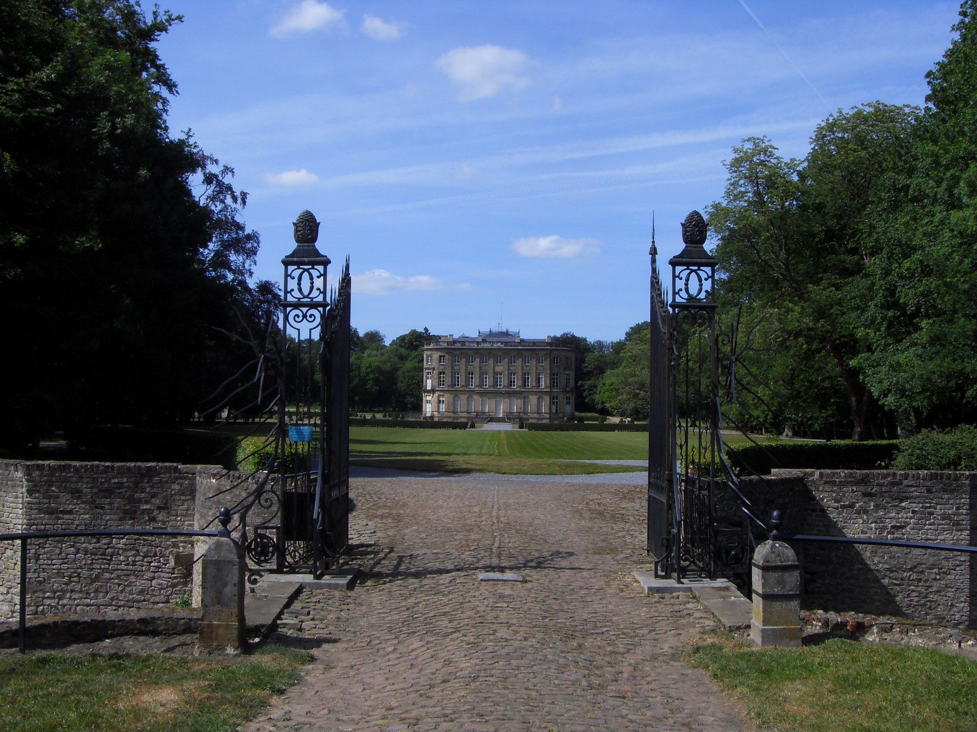
Awesome hike in the woods. This route goes around the national forest of Bon-Secours, between its beeches, its oaks and the Hermitage castle. Beautiful paths where hazelnuts and chestnuts are in order in the right season!

Already more than 200,000 users!
Uphill
80m
Highest point
71m
Downhill
80m
Lowest point
15m
Route type
Loop
Download the map on your smartphone to save battery and rest assured to always keep access to the route, even without signal.
Includes IGN France and Swisstopo.
I indicate whether dogs are allowed or prohibited on this trail
All year
1 rating
Also enjoy:

Already more than 200,000 users!