Uphill
59m
France > Hauts-de-France > Nord > Scarpe-Escaut Nature Park
Length
4km
Duration
1h
Elev gain
59m
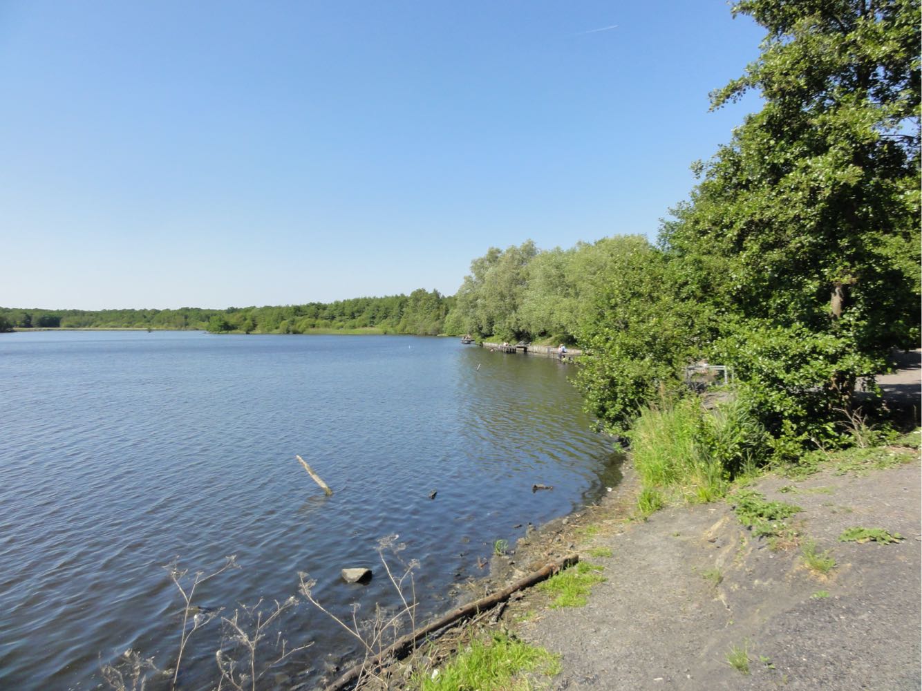
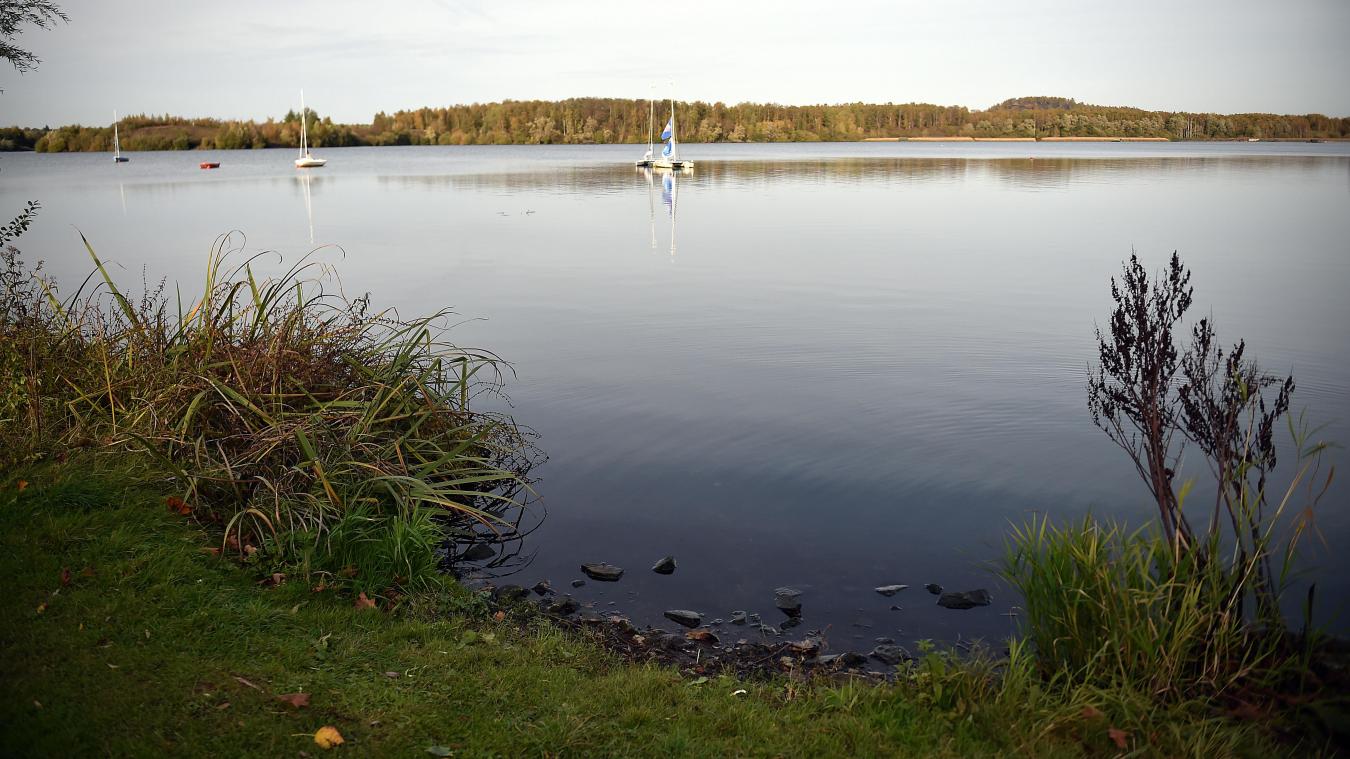
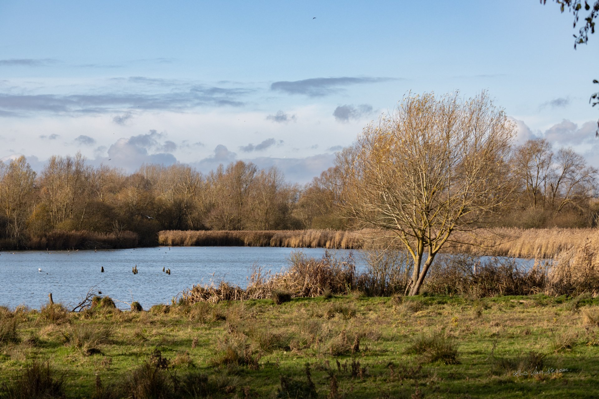
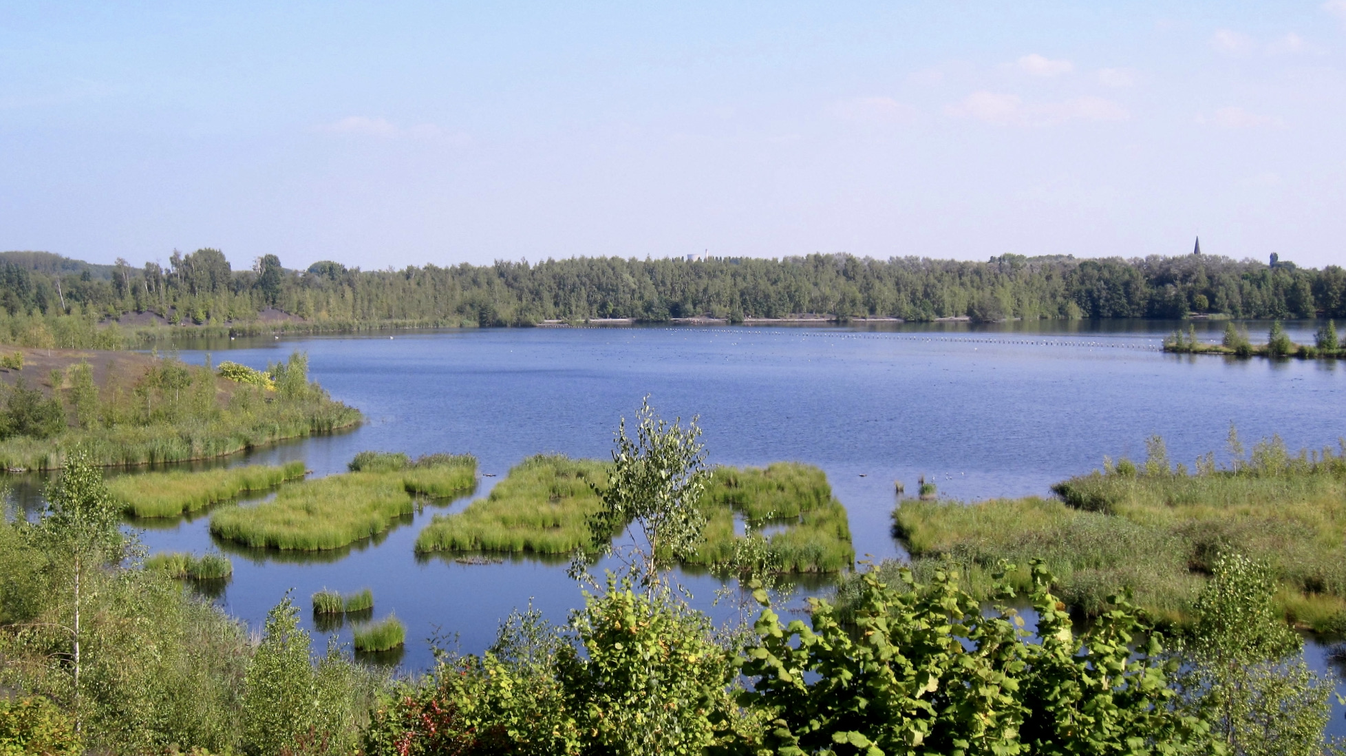
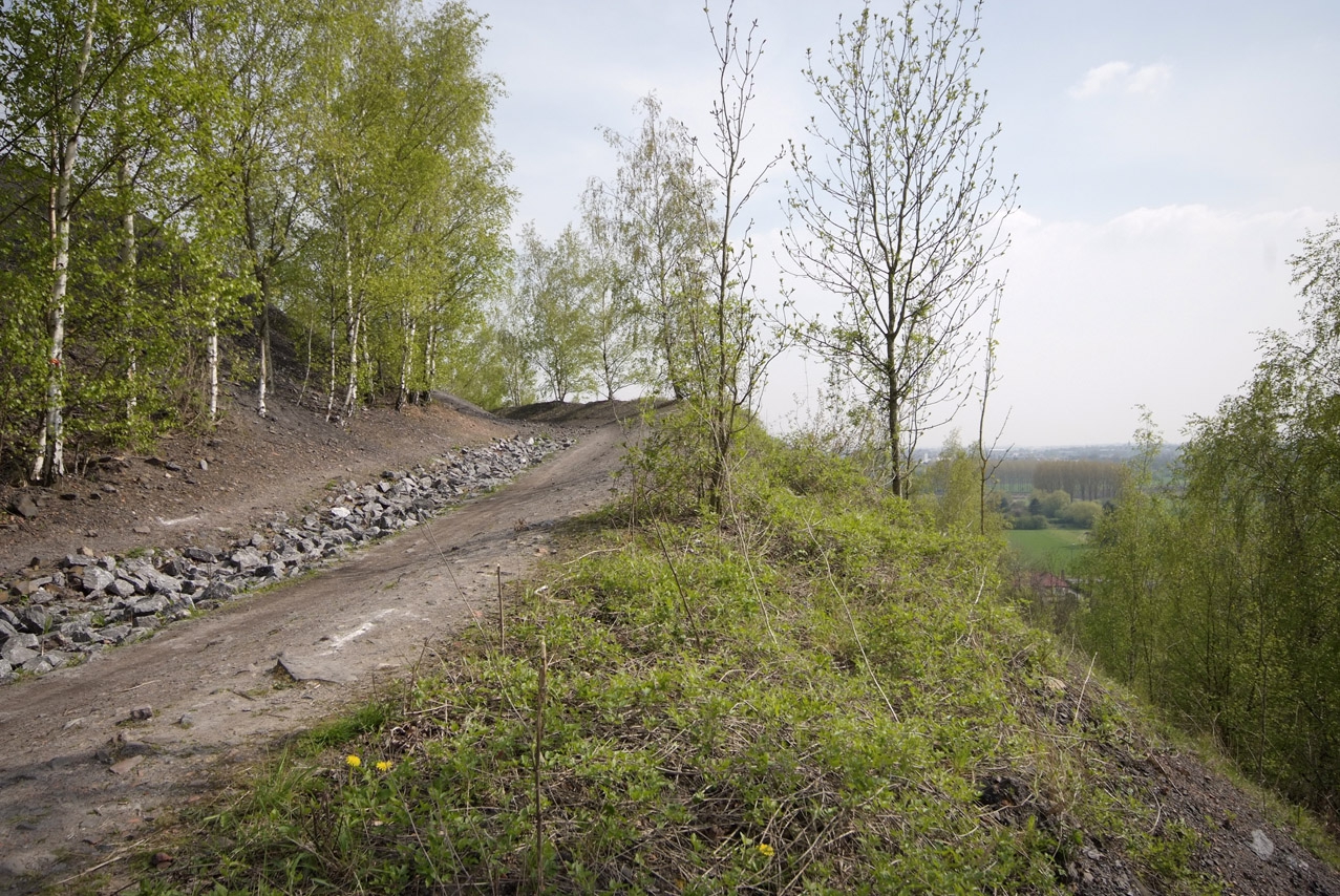
This route begins with a climb to the observatory of the spoil tip of Sabatier, offering a nice view on the region and the surrounding ponds. The rest takes place in the Raismes forest.

Already more than 200,000 users!
Uphill
59m
Highest point
75m
Downhill
59m
Lowest point
15m
Route type
Loop
Download the map on your smartphone to save battery and rest assured to always keep access to the route, even without signal.
Includes IGN France and Swisstopo.
I indicate whether dogs are allowed or prohibited on this trail
All year
1 rating
Also enjoy:

Already more than 200,000 users!