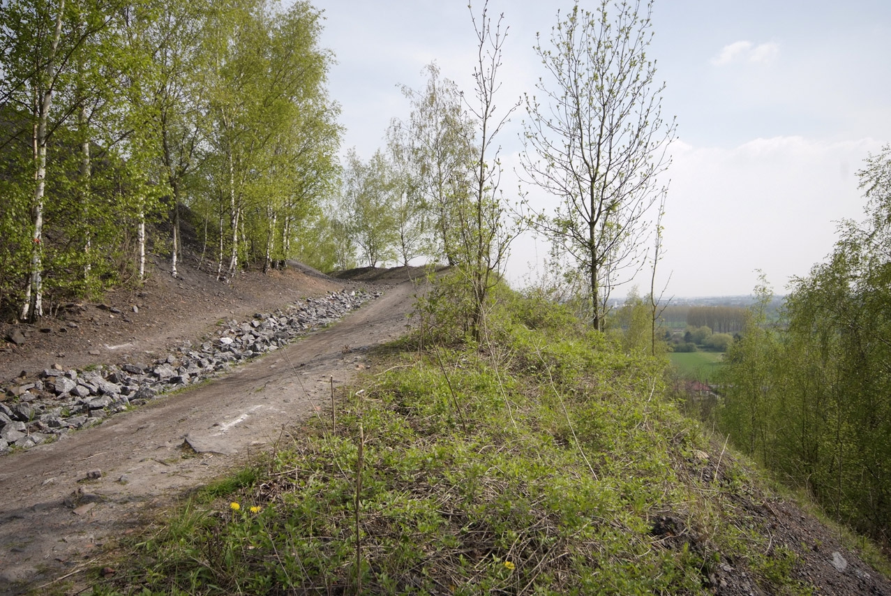
Uphill
97m
Length
11km
Duration
3h
Elev gain
97m
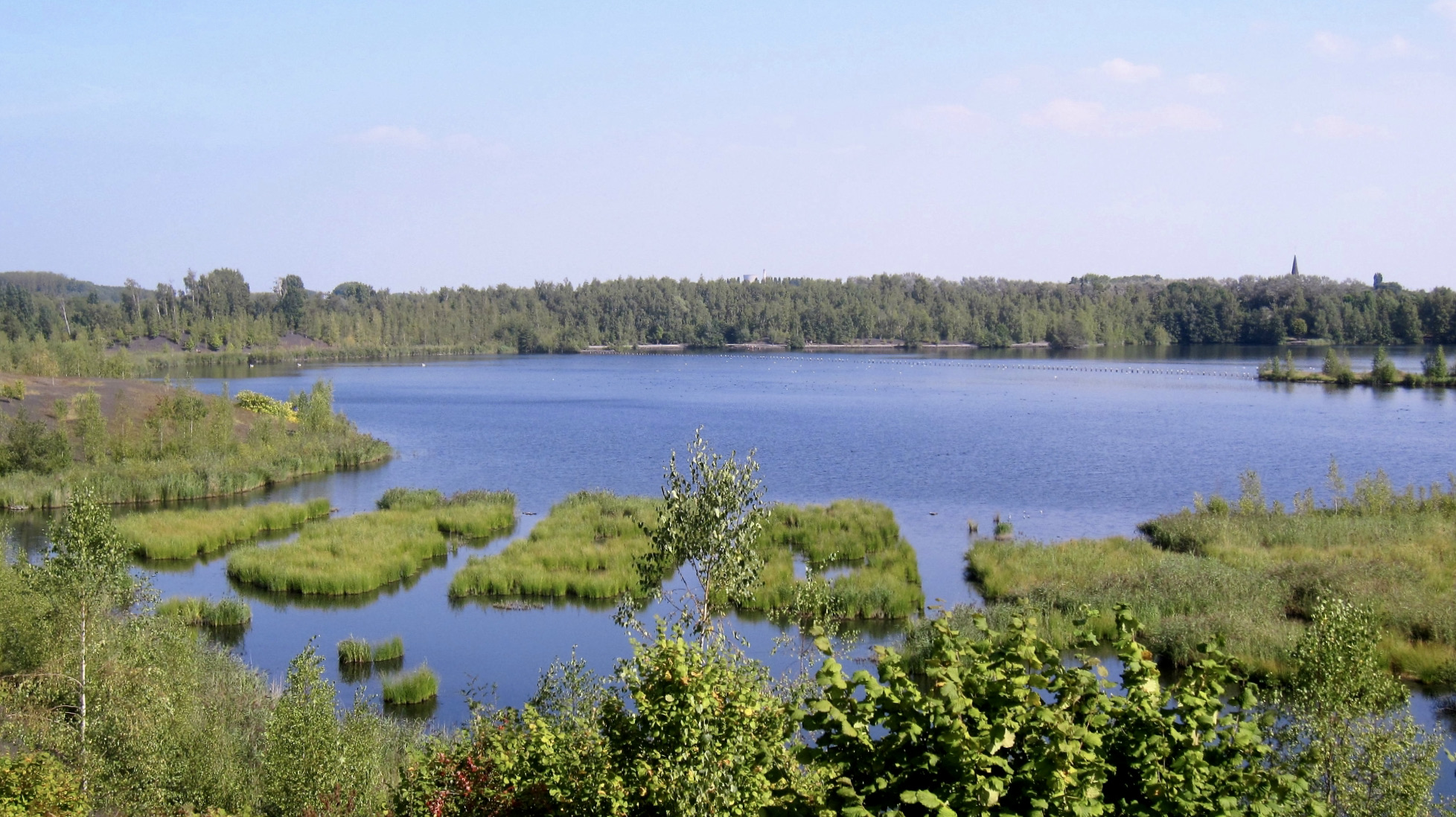
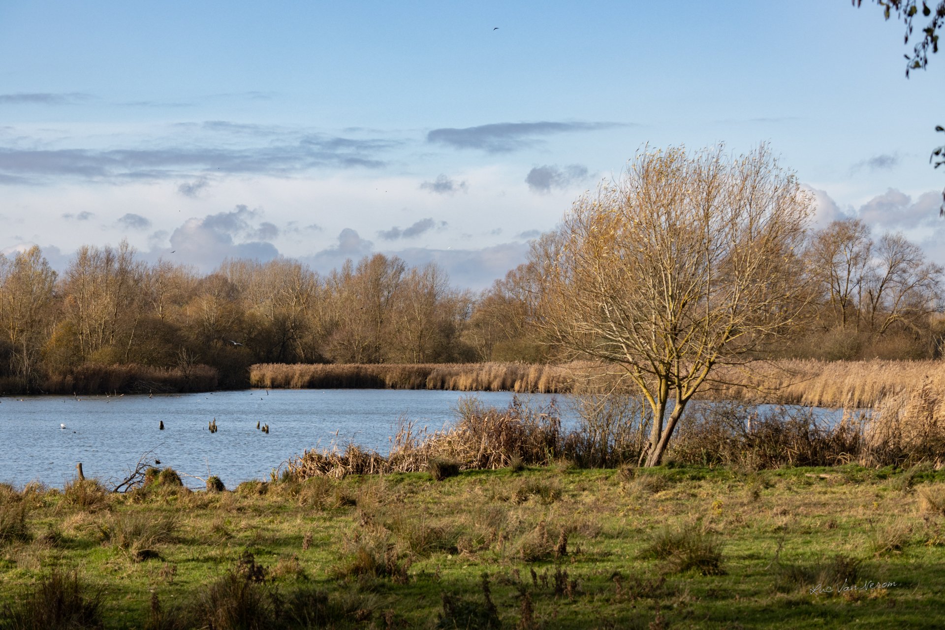
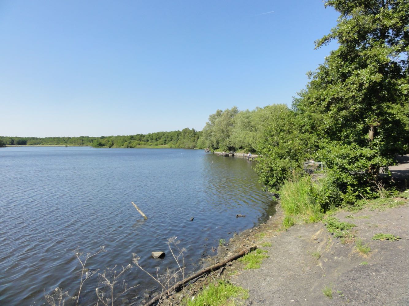
Initially a small duck pond, this body of water gradually expanded as the miners extracted coal nearby.
All this to the delight of walkers and birds, who now enjoy this pretty biological reserve.

Already more than 200,000 users!
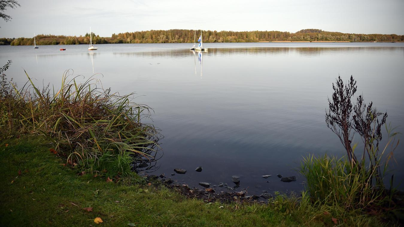
Uphill
97m
Highest point
45m
Downhill
97m
Lowest point
10m
Route type
Loop
Download the map on your smartphone to save battery and rest assured to always keep access to the route, even without signal.
Includes IGN France and Swisstopo.
I indicate whether dogs are allowed or prohibited on this trail
All year
2 ratings
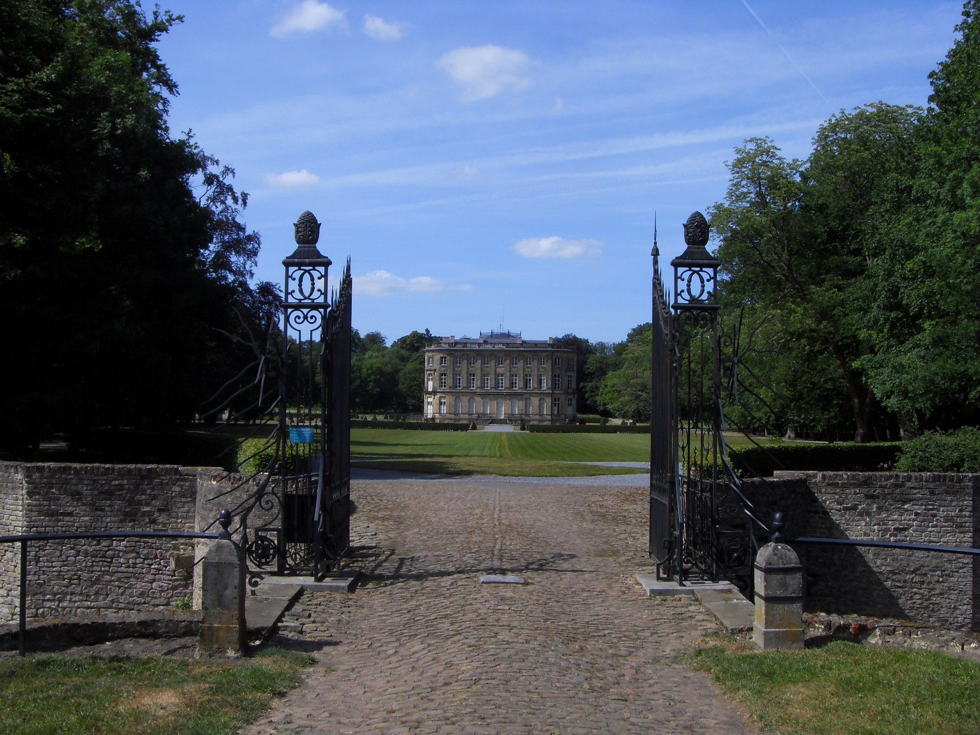
Also enjoy:

Already more than 200,000 users!