Uphill
118m
France > Hauts-de-France > Somme > Regional Natural Park of Baie de Somme
Length
5km
Duration
1h30min
Elev gain
118m
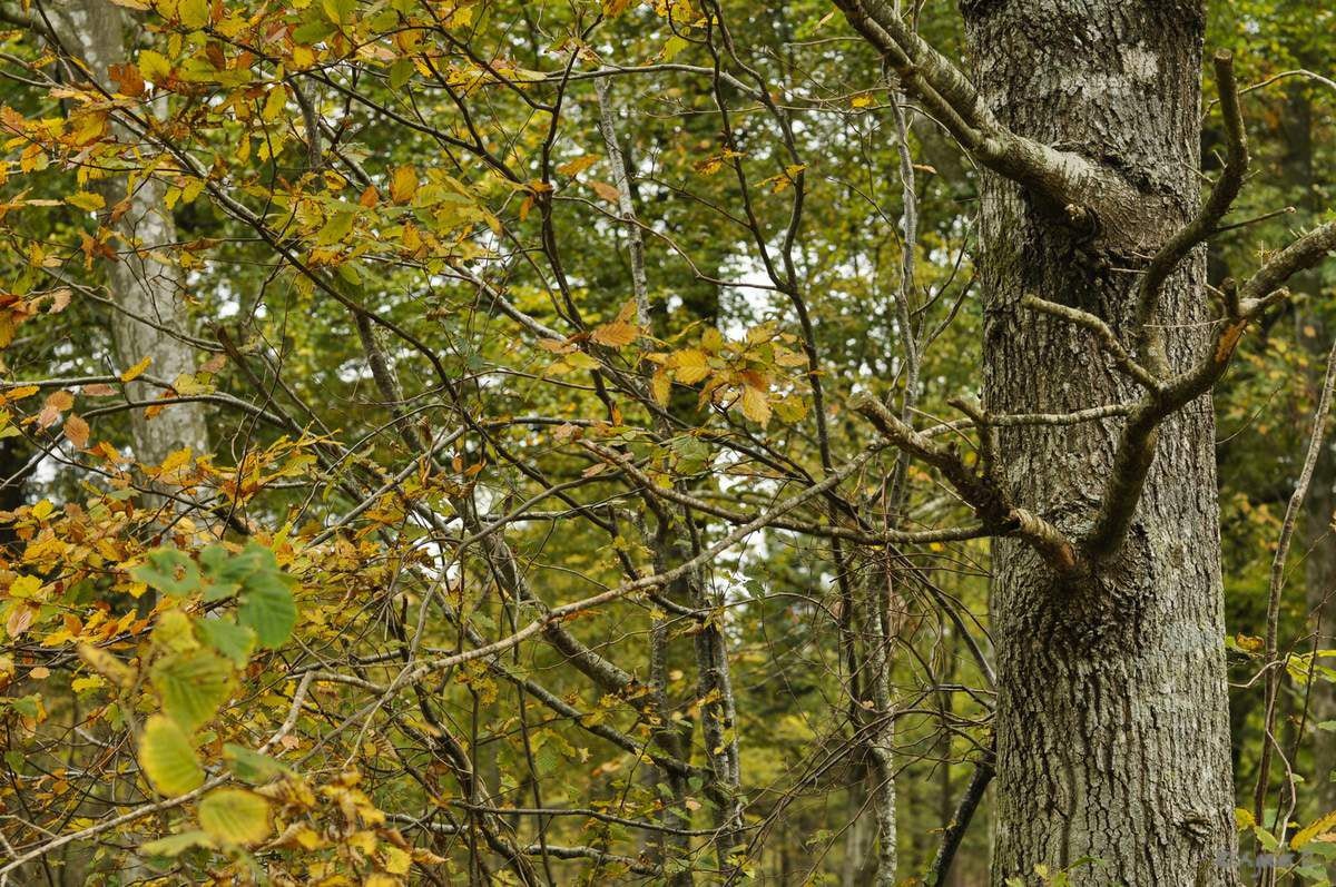
Departing from Forest-l'Abbaye, walk in part of the Crécy forest, among beeches, copses and bushes.

Already more than 200,000 users!
Uphill
118m
Highest point
91m
Downhill
118m
Lowest point
34m
Route type
Loop
Download the map on your smartphone to save battery and rest assured to always keep access to the route, even without signal.
Includes IGN France and Swisstopo.
I indicate whether dogs are allowed or prohibited on this trail
All year
1 rating
Also enjoy:

Already more than 200,000 users!


