Uphill
20m
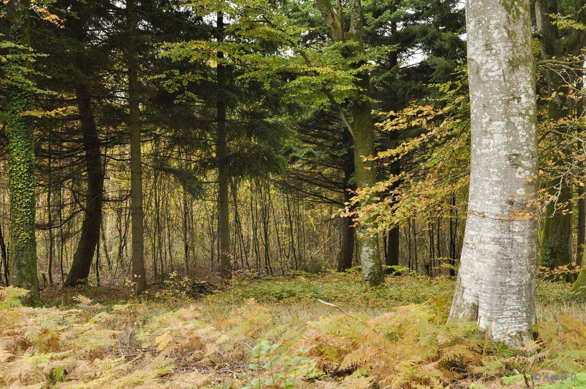
France > Hauts-de-France > Somme > Regional Natural Park of Baie de Somme
Length
10km
Duration
2h30min
Elev gain
20m
Walk in the largest forest of the Somme, mainly made of beech and oak. Large straight paths densely cover the forest.

Already more than 200,000 users!
Uphill
20m
Highest point
92m
Downhill
20m
Lowest point
72m
Route type
Loop
Download the map on your smartphone to save battery and rest assured to always keep access to the route, even without signal.
Includes IGN France and Swisstopo.
Possibility to park at the intersection between the D111 and the route forestière de Bois de Caumartin.
I indicate whether dogs are allowed or prohibited on this trail
All year
1 rating
Also enjoy:

Already more than 200,000 users!


