Uphill
13m
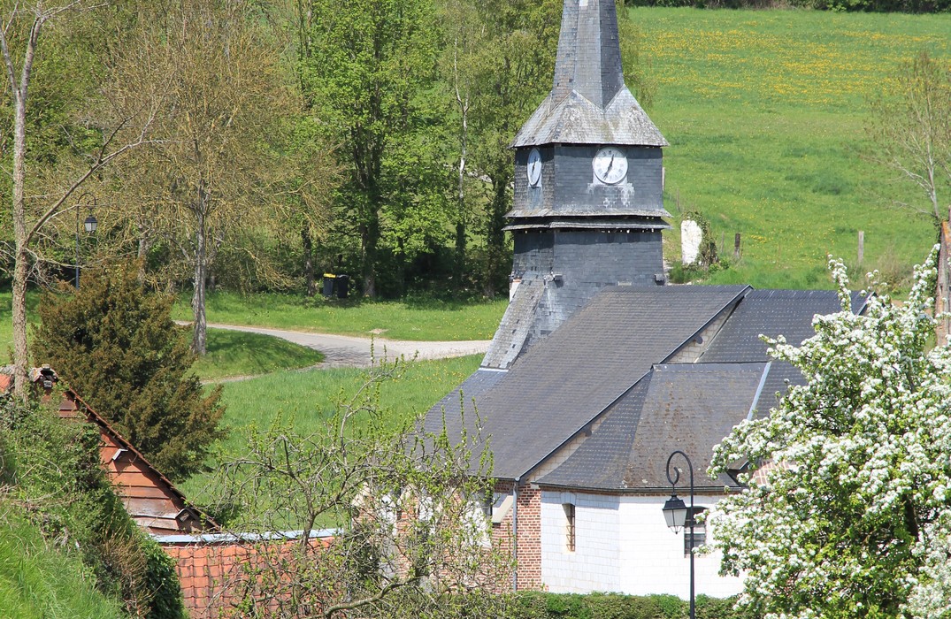
France > Hauts-de-France > Somme > Regional Natural Park of Baie de Somme
Length
8km
Duration
2h
Elev gain
13m
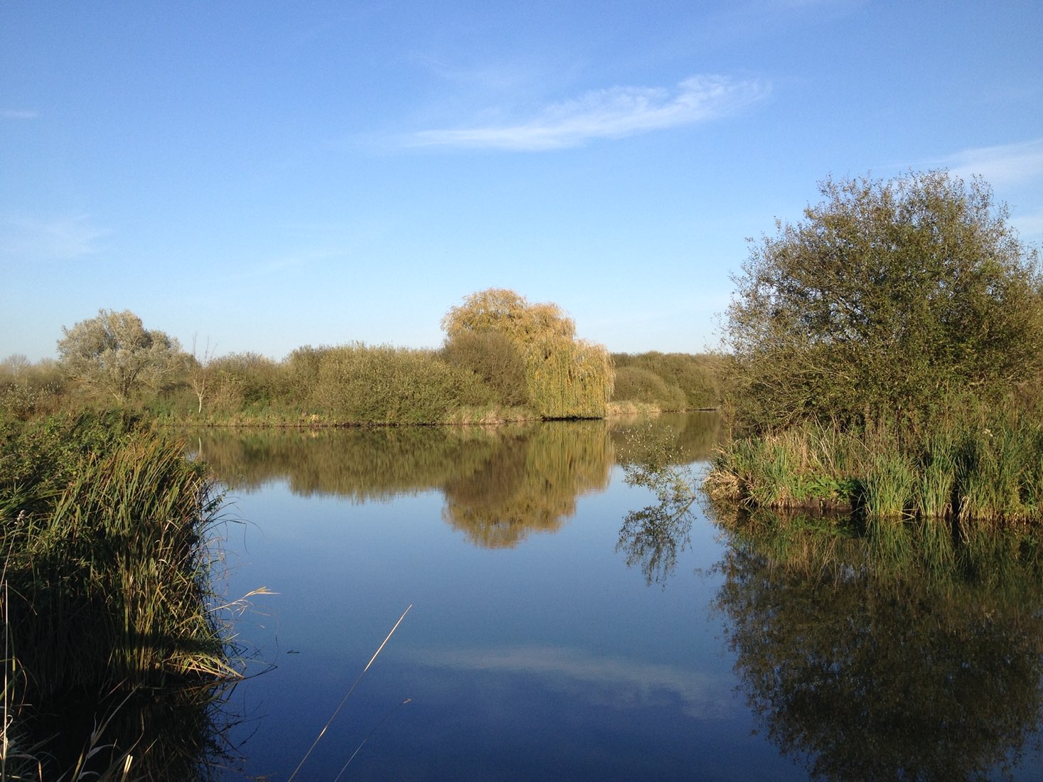
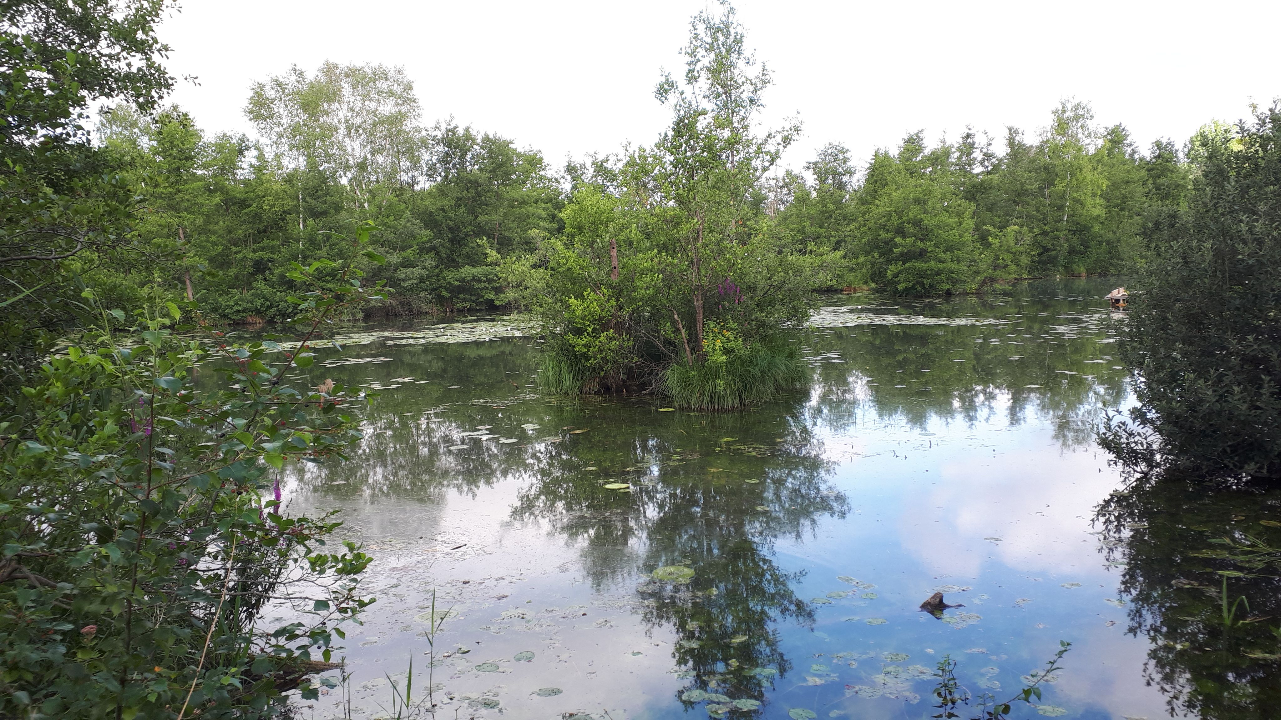
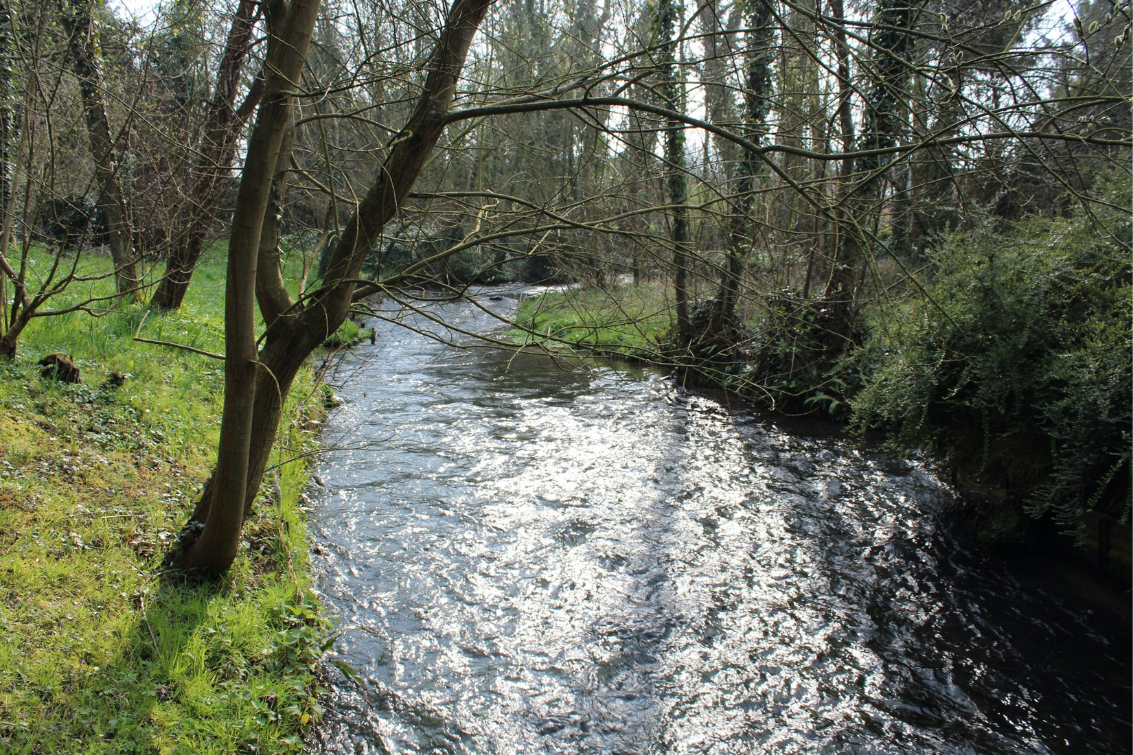
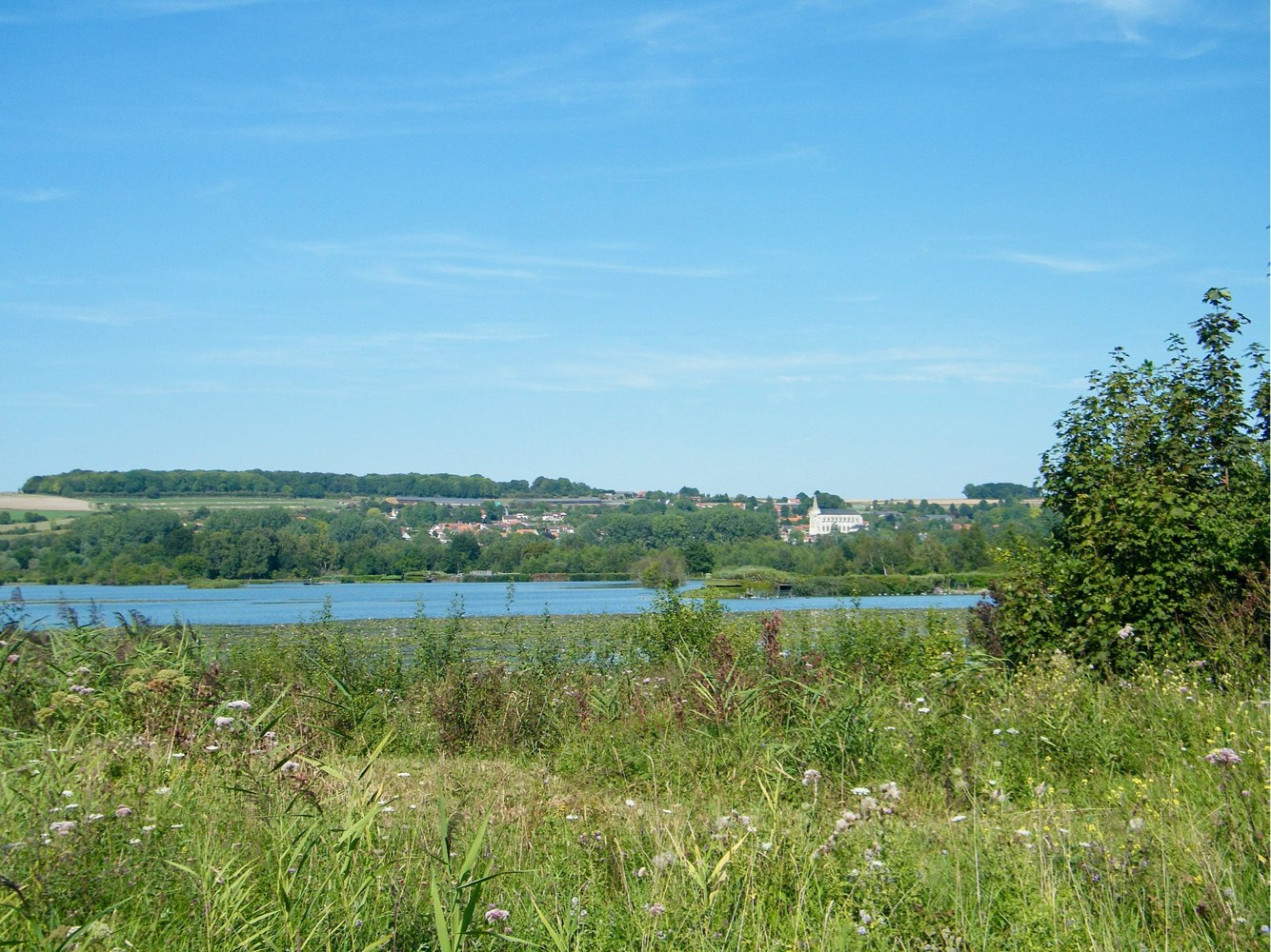
Stroll in the heart of the Middle Somme Valley, around peaty ponds sheltering typical Picardy flora and fauna.

Already more than 200,000 users!
Uphill
13m
Highest point
22m
Downhill
13m
Lowest point
4m
Route type
Loop
Download the map on your smartphone to save battery and rest assured to always keep access to the route, even without signal.
Includes IGN France and Swisstopo.
I indicate whether dogs are allowed or prohibited on this trail
All year
3 ratings
Also enjoy:

Already more than 200,000 users!