Uphill
263m
Length
13km
Duration
4h
Elev gain
263m
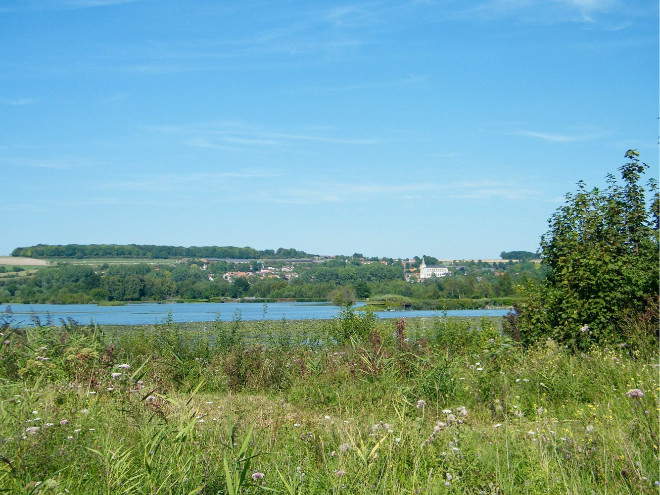
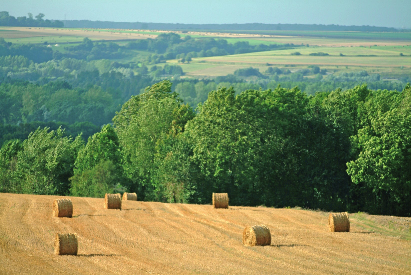
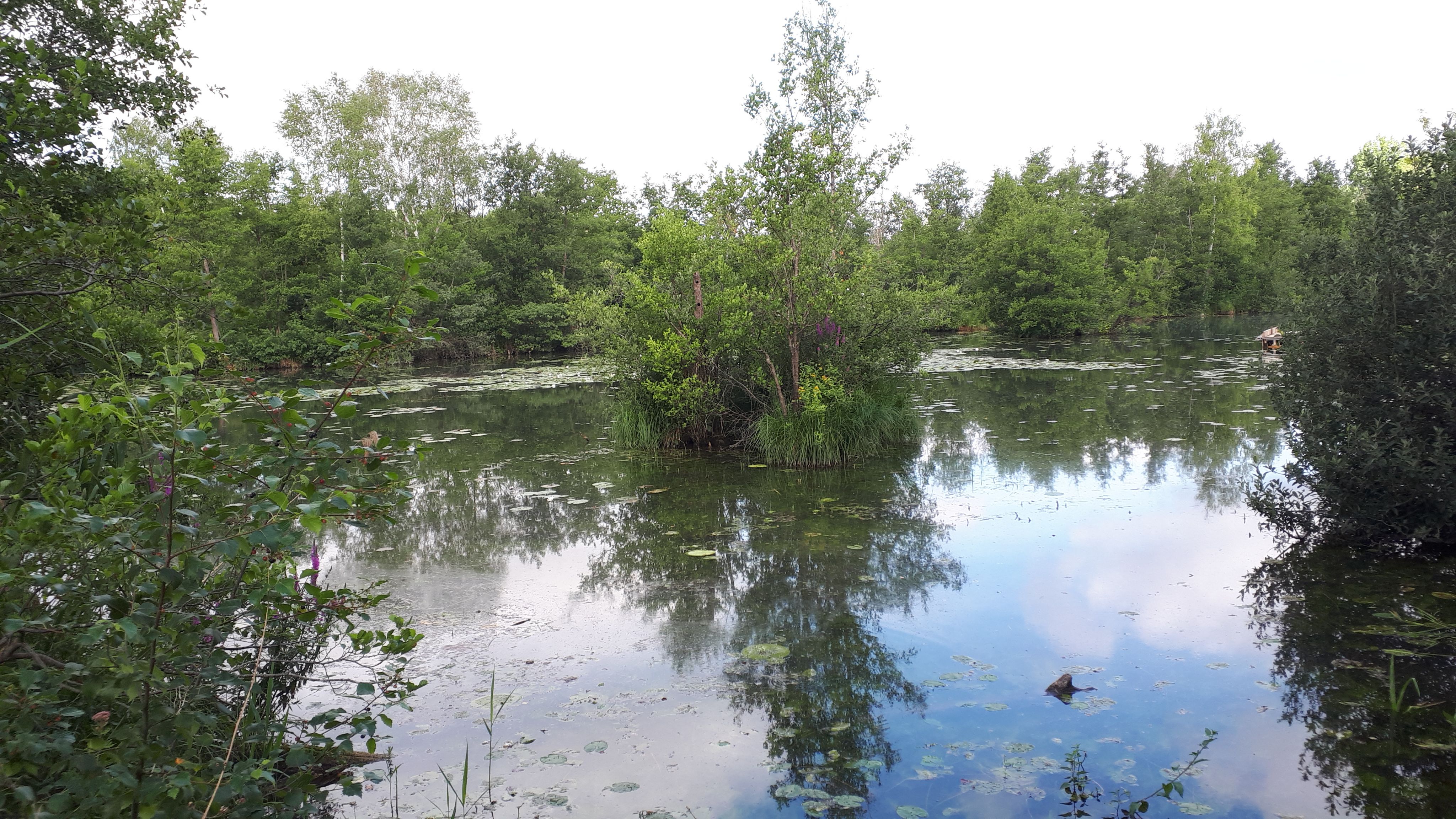
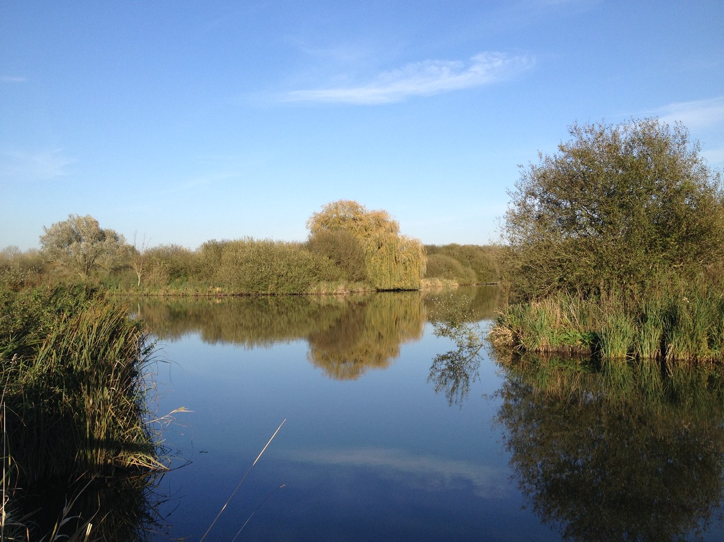
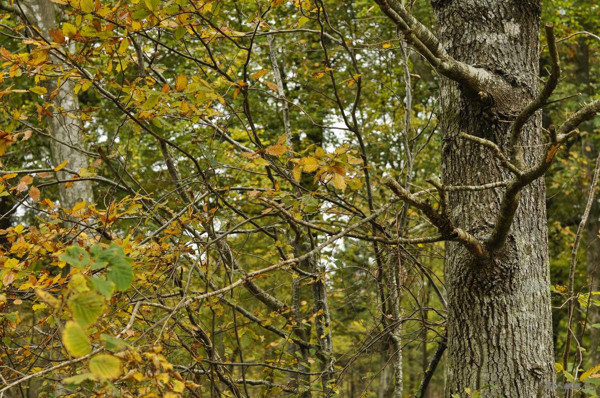
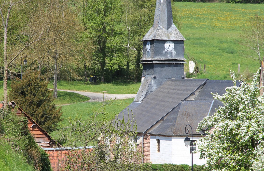
Stroll between undergrowth and countryside near Heucourt-Croquoison.
The name of "arbre à mouches" comes from the many bees, called honey flies, present in the Tailly sector because of the lime trees.

Already more than 200,000 users!
Uphill
263m
Highest point
133m
Downhill
263m
Lowest point
15m
Route type
Loop
Download the map on your smartphone to save battery and rest assured to always keep access to the route, even without signal.
Includes IGN France and Swisstopo.
I indicate whether dogs are allowed or prohibited on this trail
All year
0 ratings
Also enjoy:

Already more than 200,000 users!