Uphill
190m
Length
8km
Duration
2h30min
Elev gain
190m
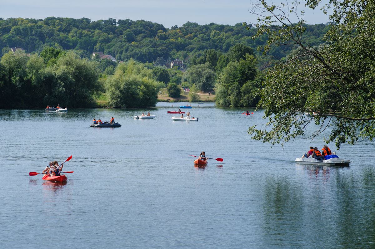
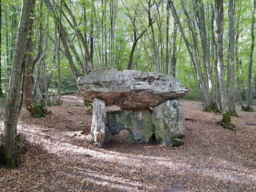
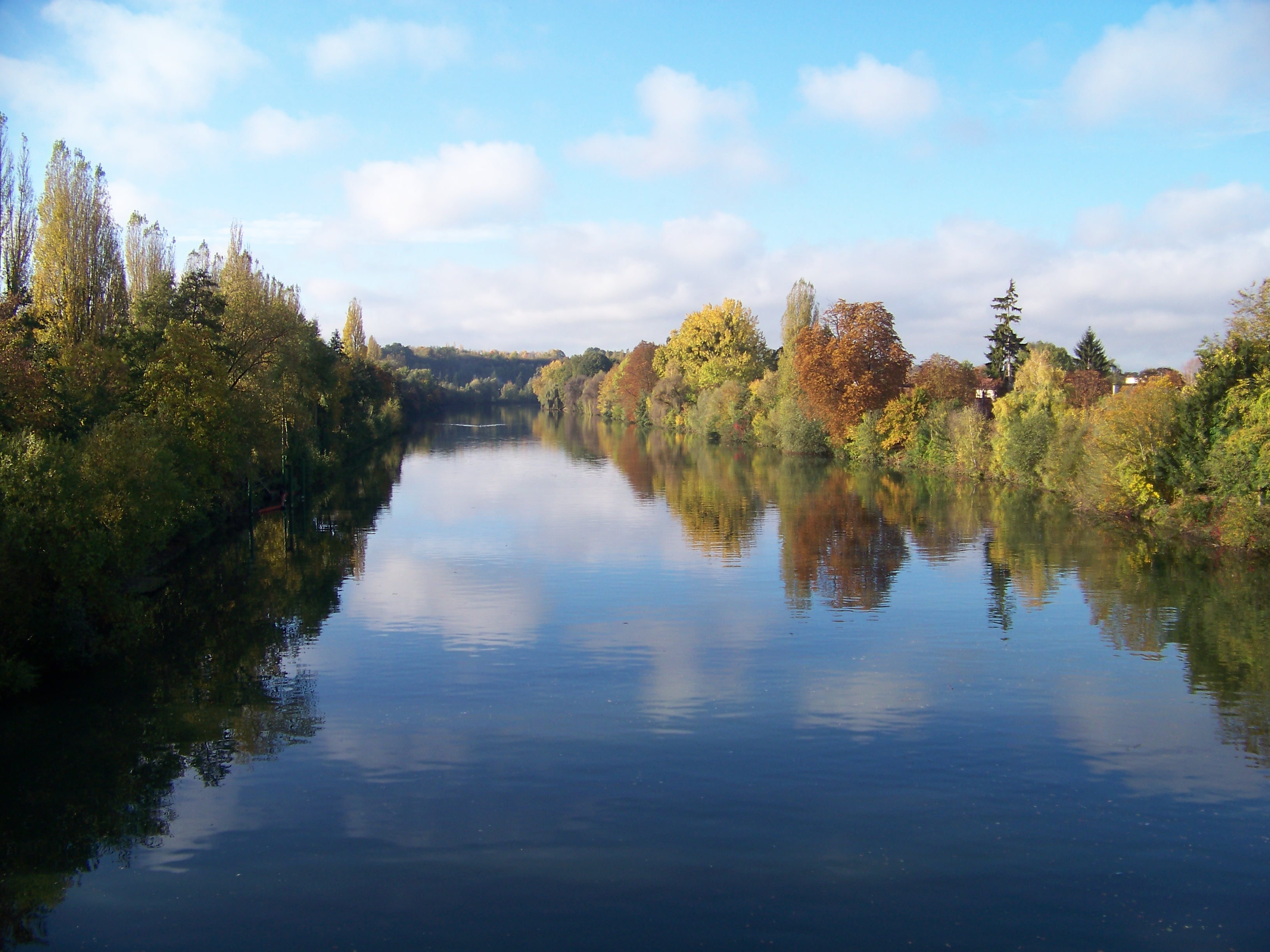
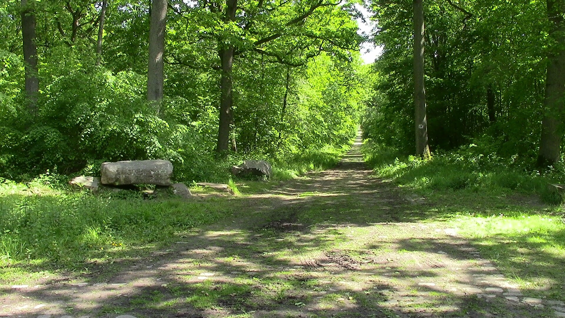
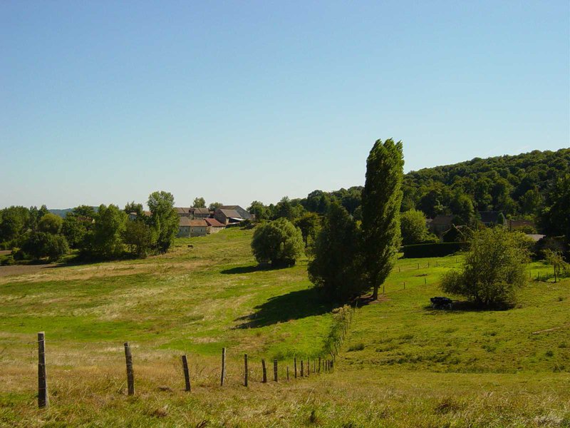
This route departing from Neuville-Bosc goes through the buttes de Rosne, which is the highest natural point in the Île-de-France region with 216 meters. The trail alternates between fields and forest for a nice overview of Vexin.

Already more than 200,000 users!
Uphill
190m
Highest point
231m
Downhill
190m
Lowest point
121m
Route type
Loop
Download the map on your smartphone to save battery and rest assured to always keep access to the route, even without signal.
Includes IGN France and Swisstopo.
I indicate whether dogs are allowed or prohibited on this trail
All year
1 rating
Also enjoy:

Already more than 200,000 users!