Uphill
241m
Length
14km
Duration
4h
Elev gain
241m
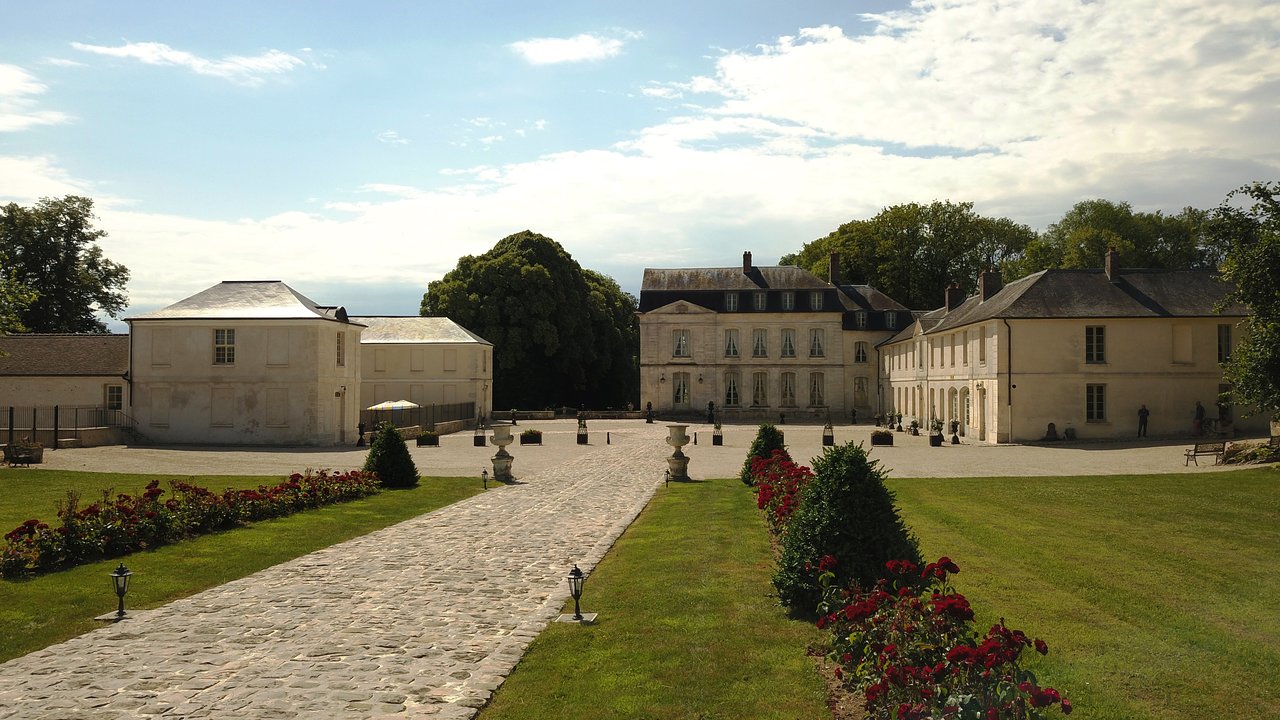
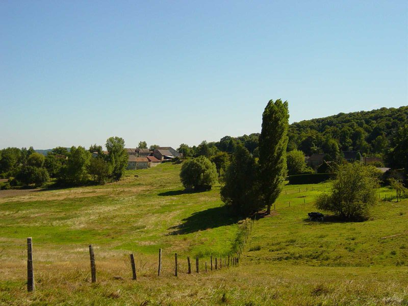
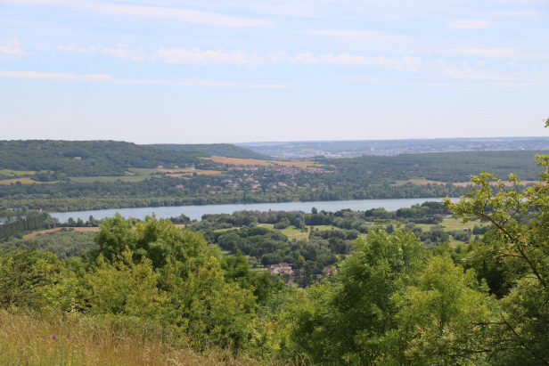
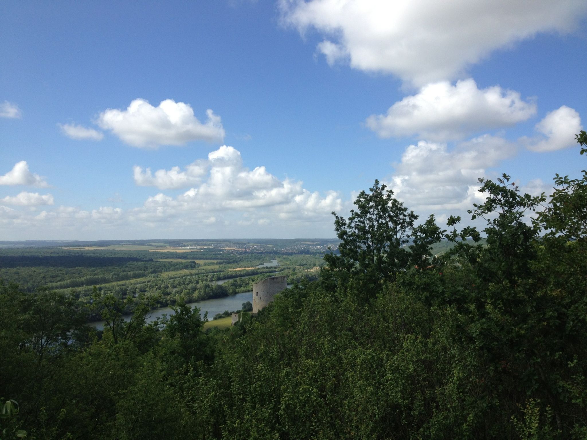
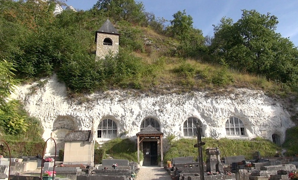
Departing from Delincourt, this loop trail winds between forest and fields before crossing the village of Chambors.
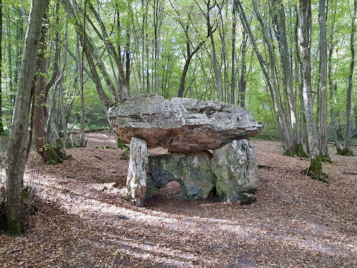
Also to be discovered on the way: the Trois Pierre dolmen, an imposing Neolithic dolmen otherwise known as Pierre Trouée.

Already more than 200,000 users!
Uphill
241m
Highest point
159m
Downhill
241m
Lowest point
63m
Route type
Loop
Download the map on your smartphone to save battery and rest assured to always keep access to the route, even without signal.
Includes IGN France and Swisstopo.
I indicate whether dogs are allowed or prohibited on this trail
All year
1 rating
Also enjoy:

Already more than 200,000 users!