Uphill
174m
France > Île-de-France > Val-d'Oise > Vexin Français Regional Natural Park
Length
6km
Duration
2h
Elev gain
174m
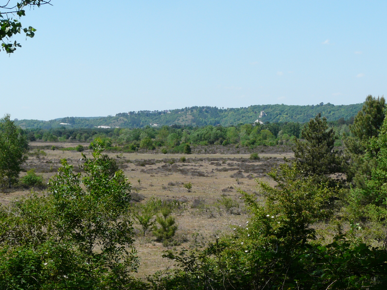
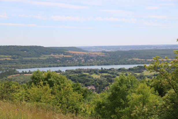
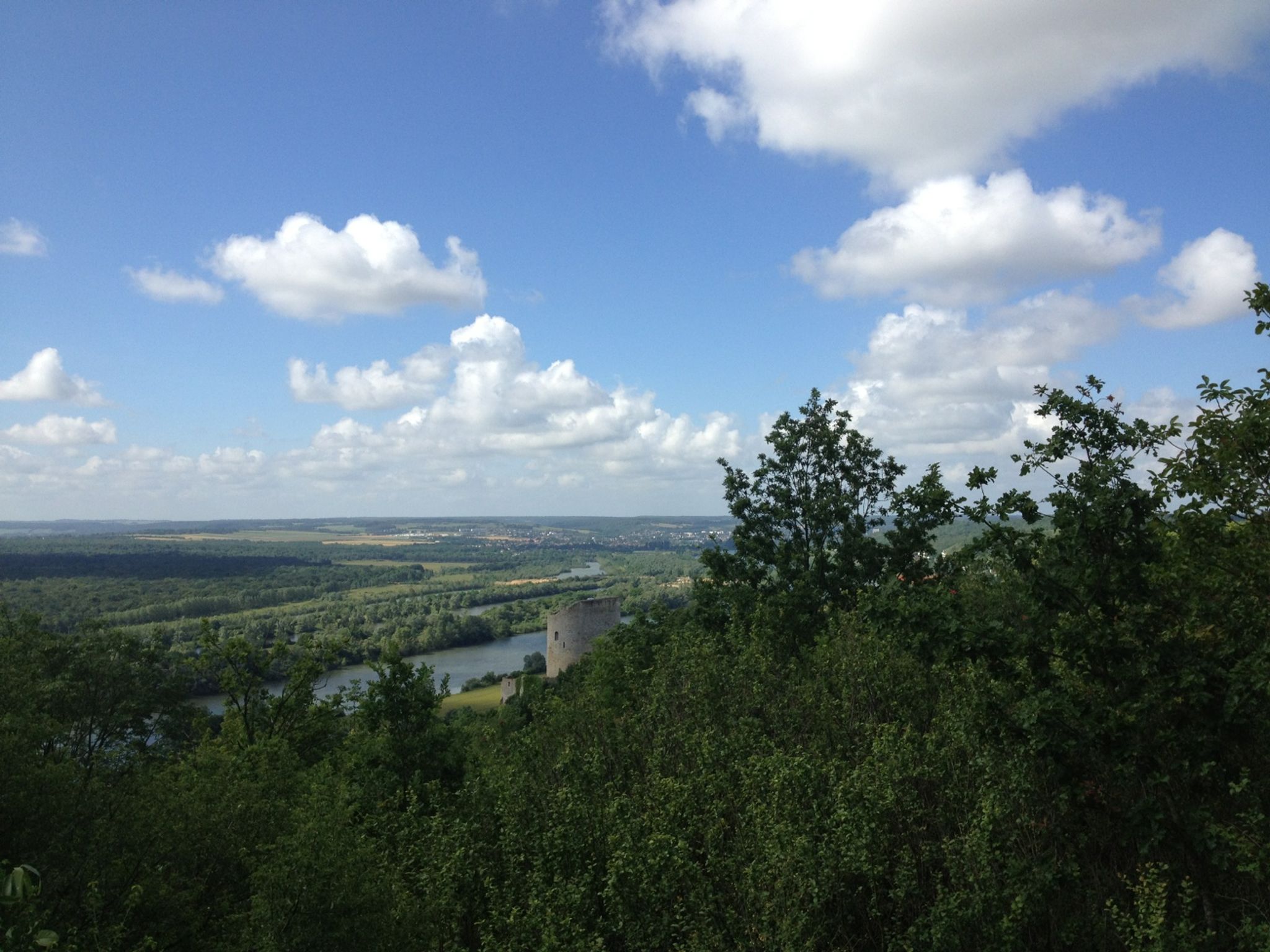
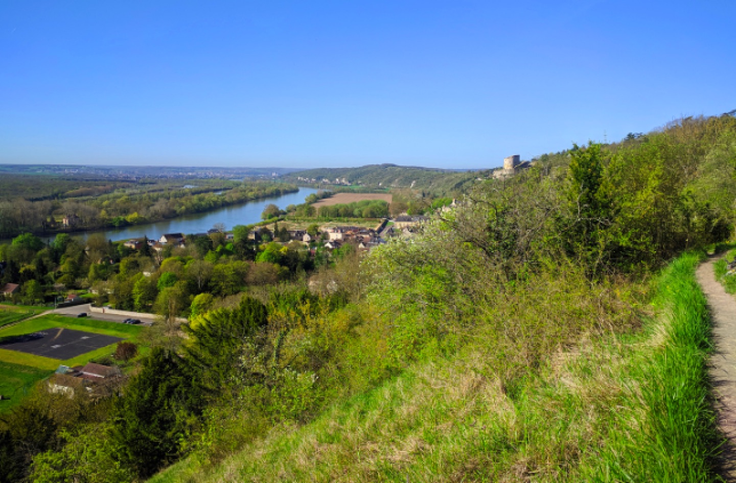
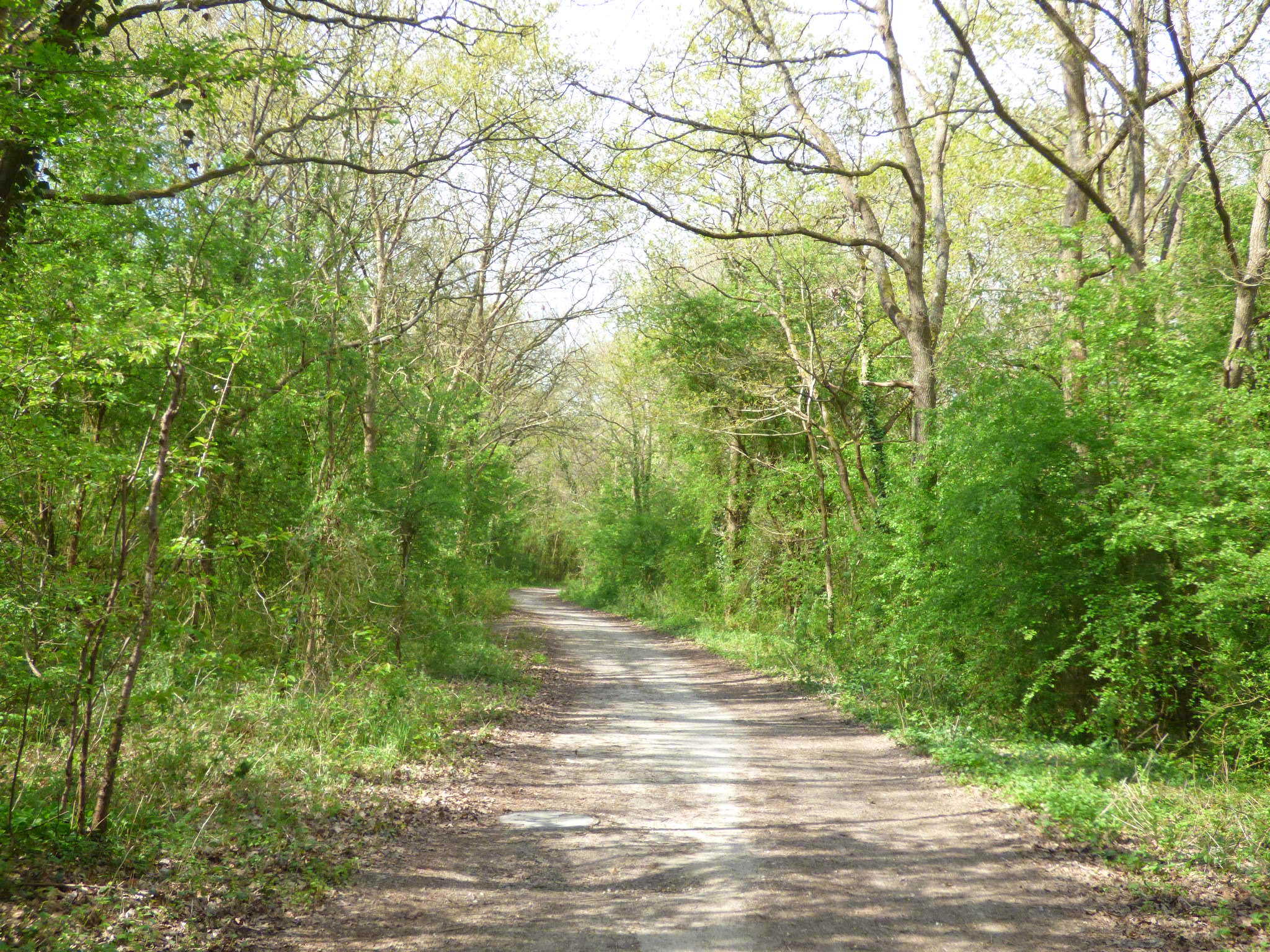
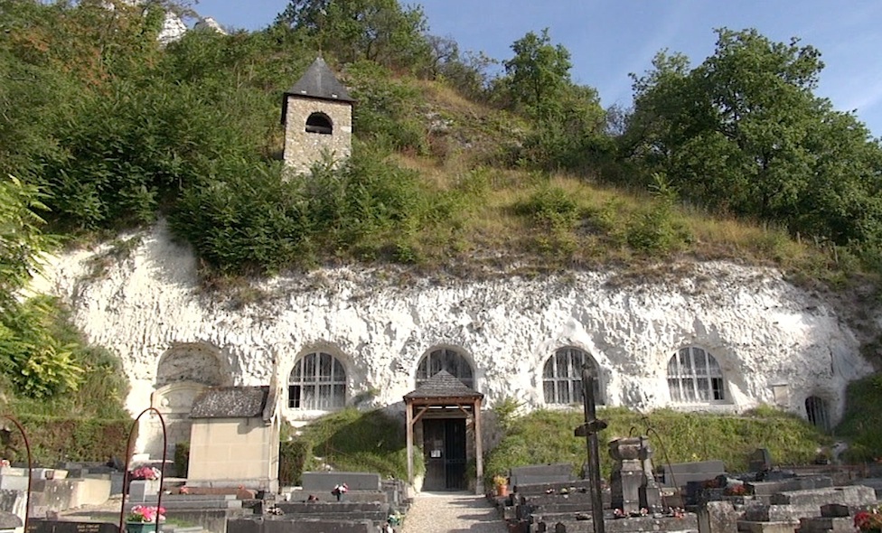
Departing from Chérence, this walk crosses the heights of the Seine to the troglodyte dwellings of Haute-Isle, including the Church of the Annunciation.
An outing combining heritage and nature.

Already more than 200,000 users!
Uphill
174m
Highest point
163m
Downhill
174m
Lowest point
16m
Route type
Loop
Download the map on your smartphone to save battery and rest assured to always keep access to the route, even without signal.
Includes IGN France and Swisstopo.
I indicate whether dogs are allowed or prohibited on this trail
All year
2 ratings
Le sentier est inaccessible du 1er mars,au 30 juin pour préserver la flore protégée, nous n'avons pas pu rejoindre Haute-Isle, dommage.
Also enjoy:

Already more than 200,000 users!