Uphill
321m
France > Île-de-France > Val-d'Oise > Vexin Français Regional Natural Park
Length
9km
Duration
3h
Elev gain
321m
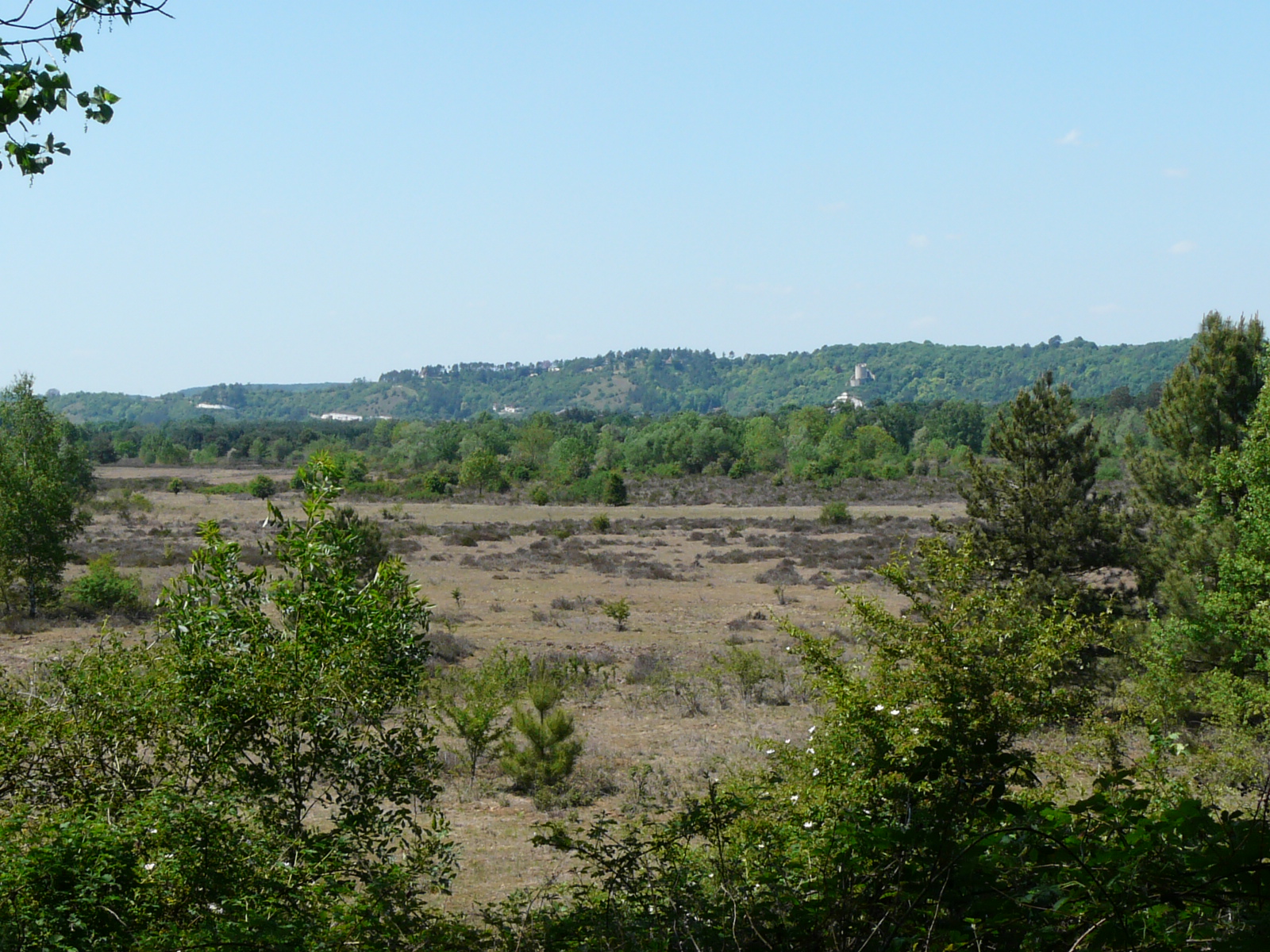
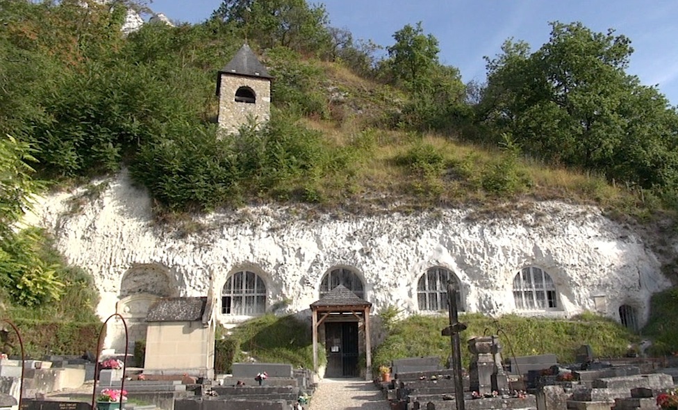
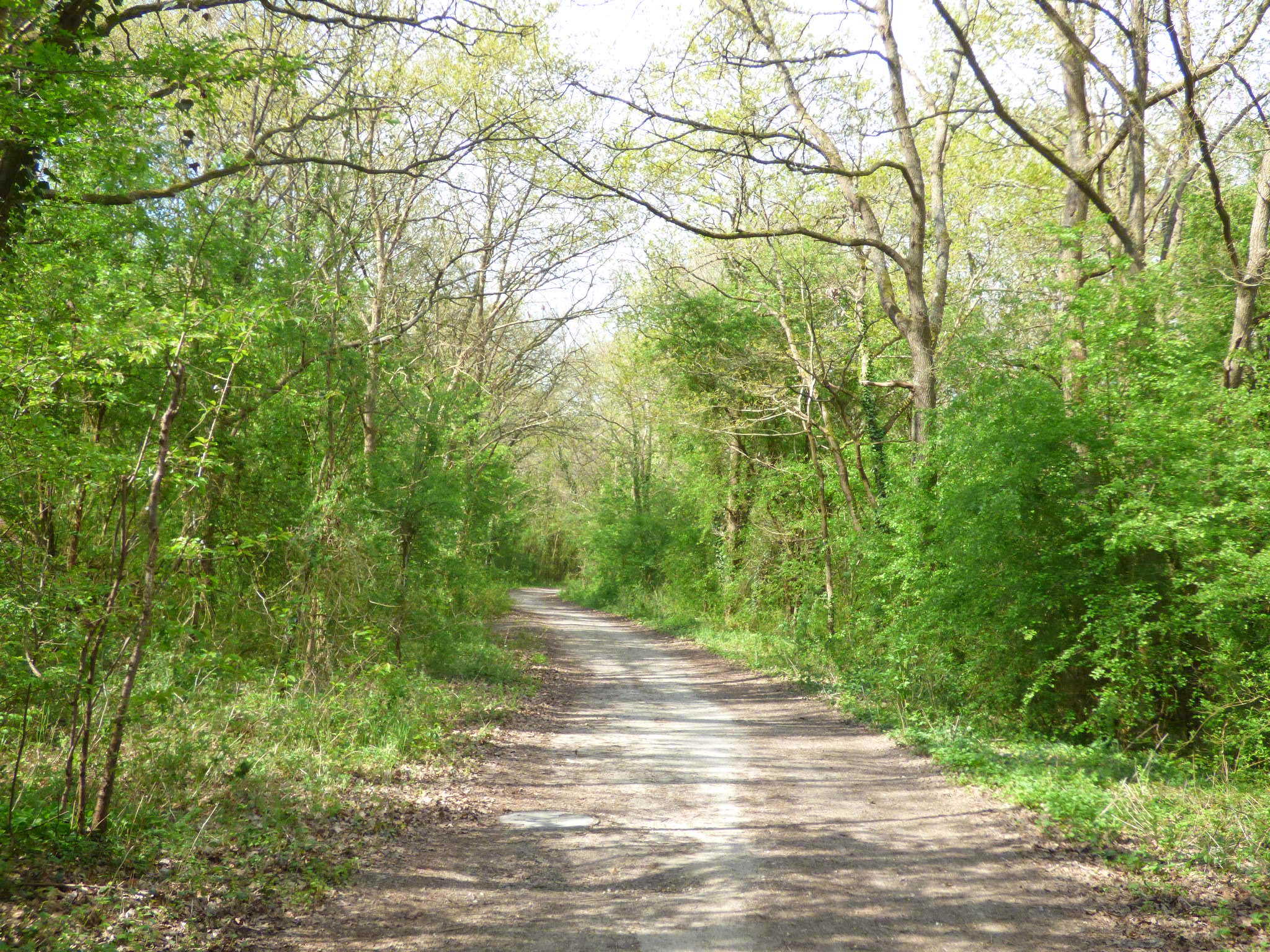
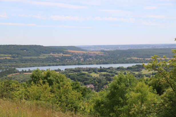
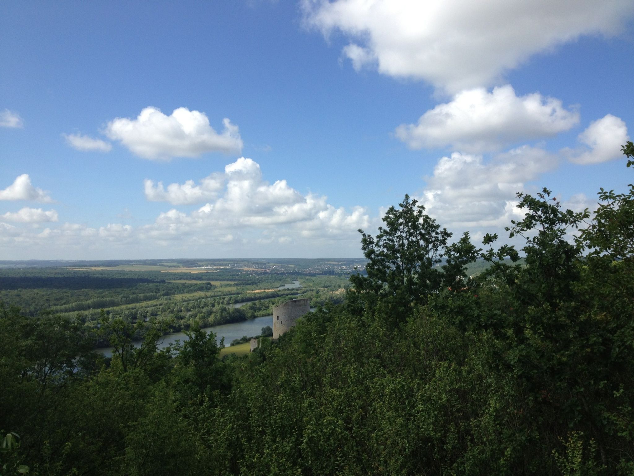
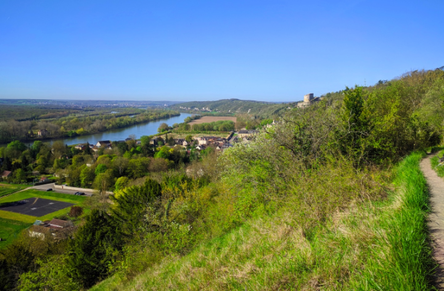
This walk between history and nature begins at the castle of La Roche-Guyon, continues in the forest via an arboretum, and ends with magnificent views of the Seine valley.

Already more than 200,000 users!
Uphill
321m
Highest point
131m
Downhill
321m
Lowest point
18m
Route type
Loop
Download the map on your smartphone to save battery and rest assured to always keep access to the route, even without signal.
Includes IGN France and Swisstopo.
3 ratings
Très jolie boucle ! La partie sur les crêtes offre de superbes panoramas sur la vallée de la Seine, et j’ai aussi beaucoup aimé l’aboretum situé dans les terres.
Also enjoy:

Already more than 200,000 users!