Uphill
571m
France > Île-de-France > Val-d'Oise > Vexin Français Regional Natural Park
Length
22km
Duration
7h
Elev gain
571m
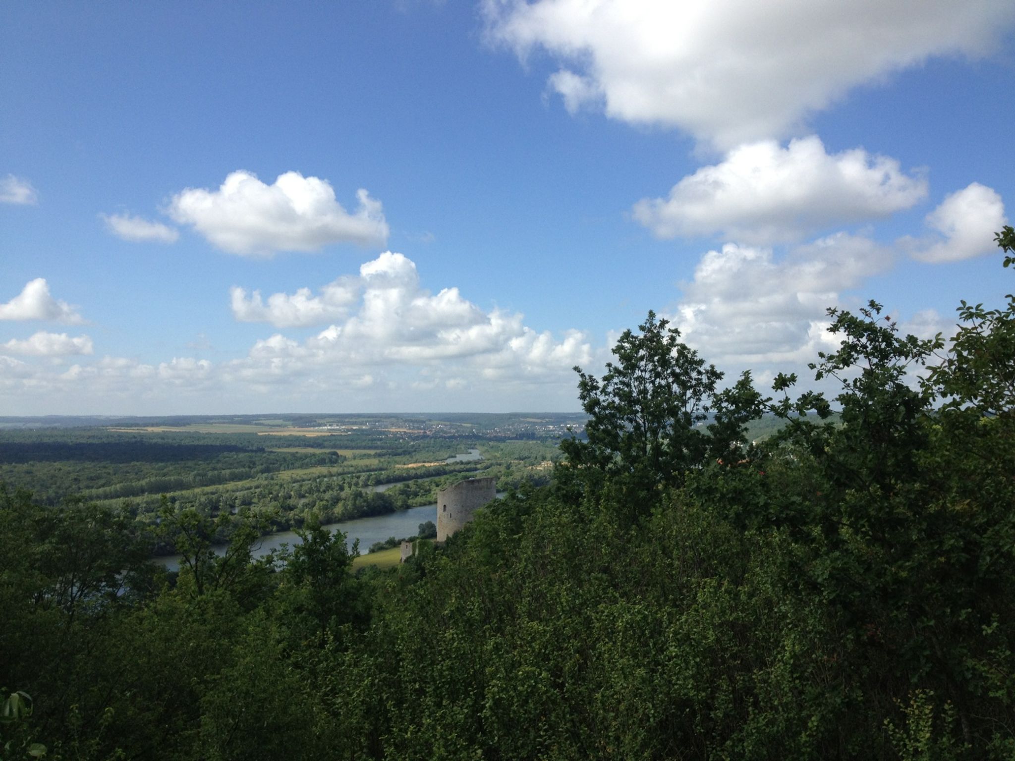
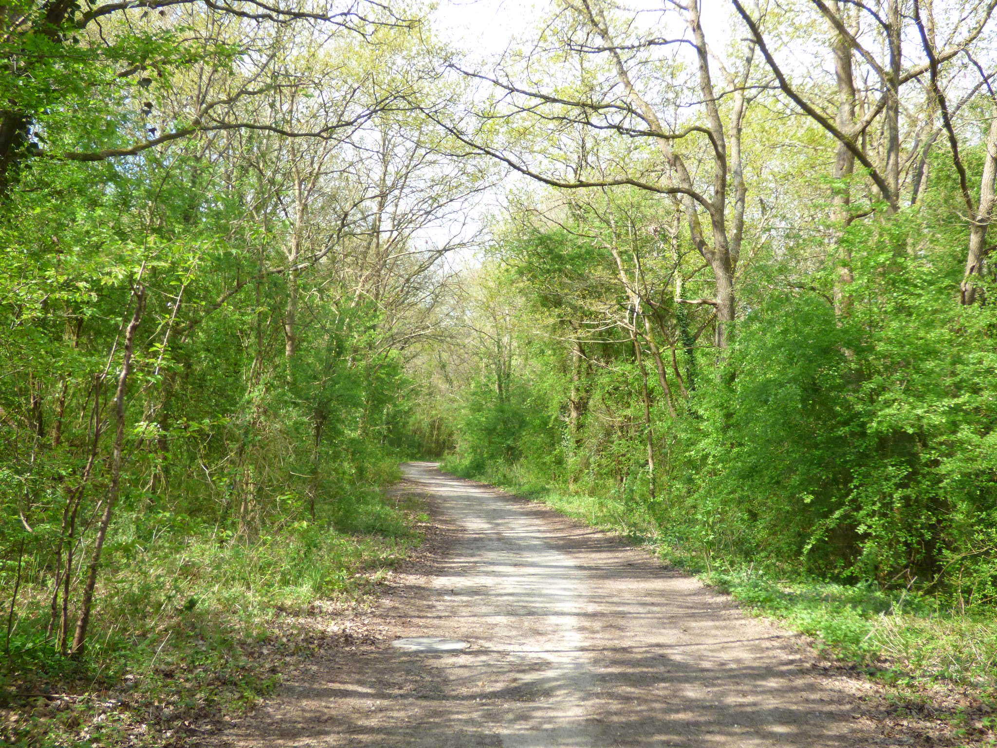
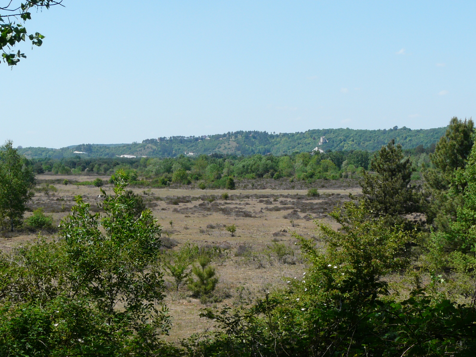
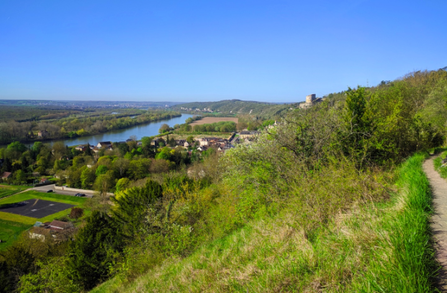
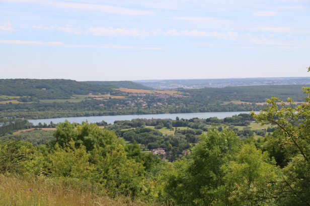
This route runs along the Seine between Vétheuil and La Roche-Guyon, offering magnificent views of the river. The return is via forests and fields. Note that it is necessary to follow the road in several places.

Already more than 200,000 users!
Uphill
571m
Highest point
216m
Downhill
571m
Lowest point
22m
Route type
Loop
Download the map on your smartphone to save battery and rest assured to always keep access to the route, even without signal.
Includes IGN France and Swisstopo.
I indicate whether dogs are allowed or prohibited on this trail
All year
1 rating
Also enjoy:

Already more than 200,000 users!