Uphill
564m
France > Île-de-France > Val-d'Oise > Vexin Français Regional Natural Park
Length
15km
Duration
5h30min
Elev gain
564m
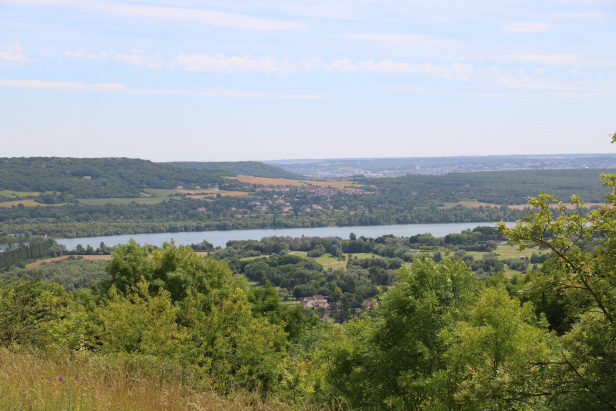
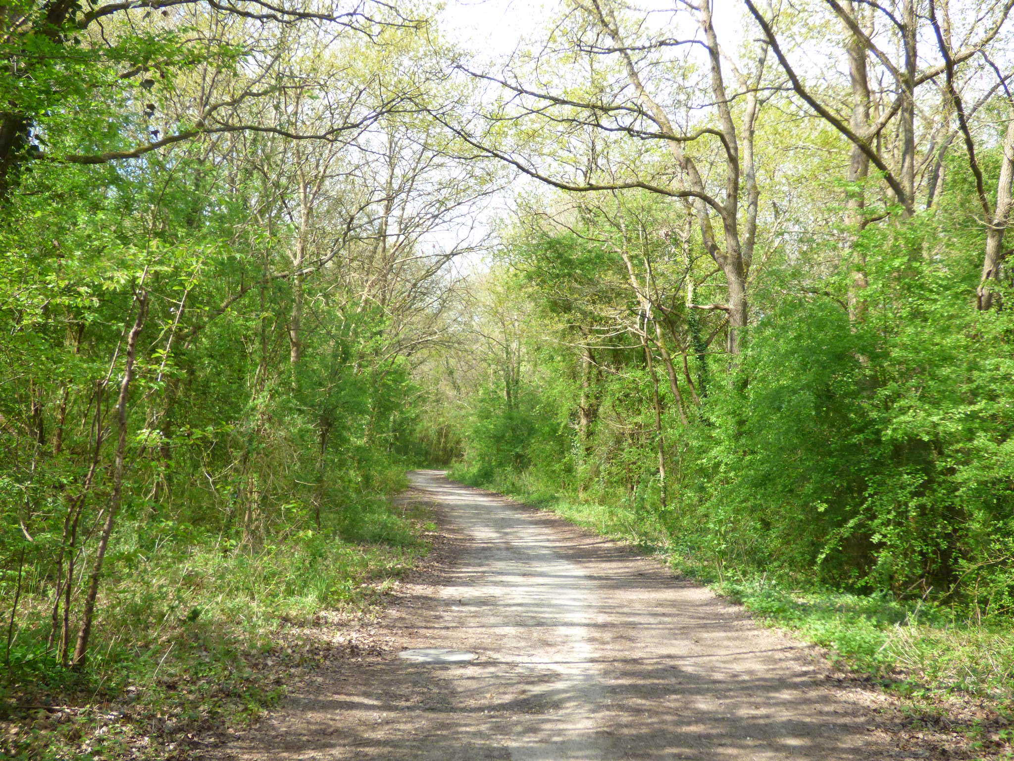
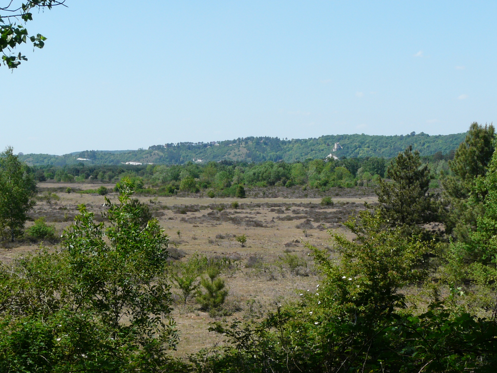
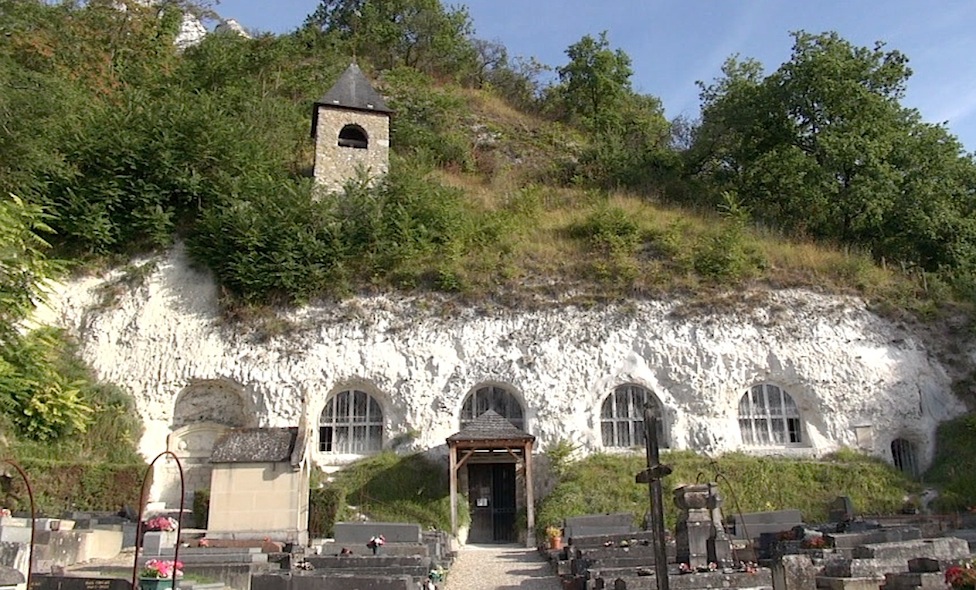
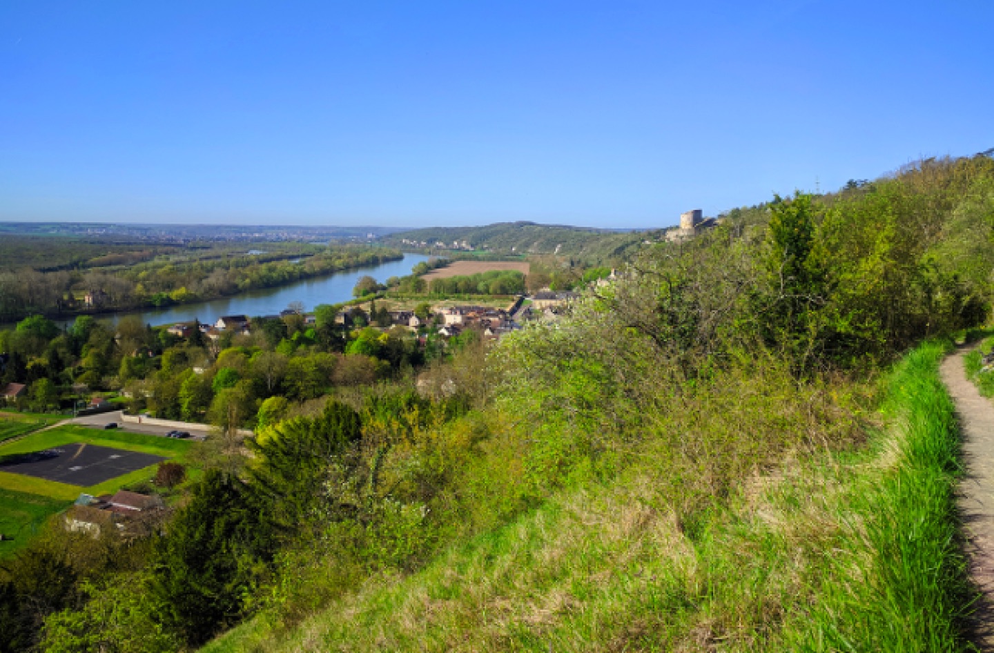
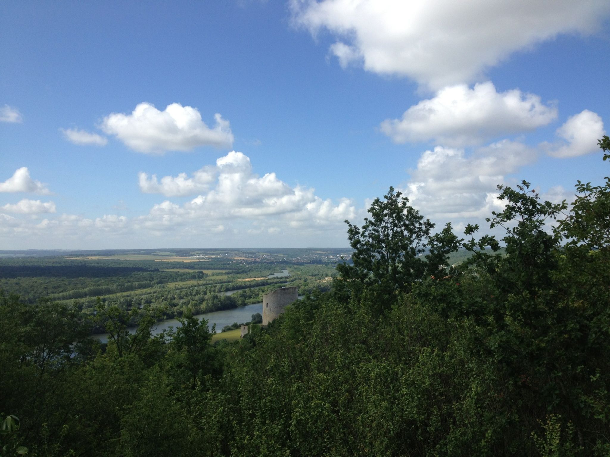
Leaving from Vétheuil, this trail is located in the Coteaux de la Seine nature reserve. It offers lovely views of the Seine, while La Roche-Guyon is an ideal stopover halfway through.

Already more than 200,000 users!
Uphill
564m
Highest point
152m
Downhill
564m
Lowest point
27m
Route type
Loop
Download the map on your smartphone to save battery and rest assured to always keep access to the route, even without signal.
Includes IGN France and Swisstopo.
I indicate whether dogs are allowed or prohibited on this trail
All year
0 ratings
Also enjoy:

Already more than 200,000 users!