Uphill
60m
Length
8km
Duration
2h
Elev gain
60m
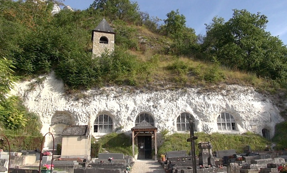
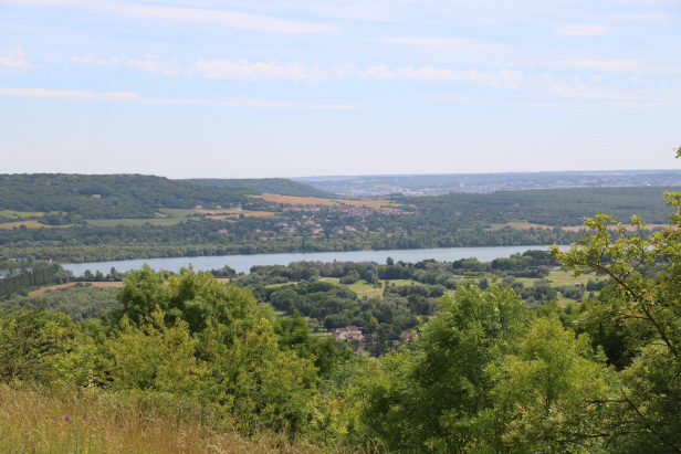
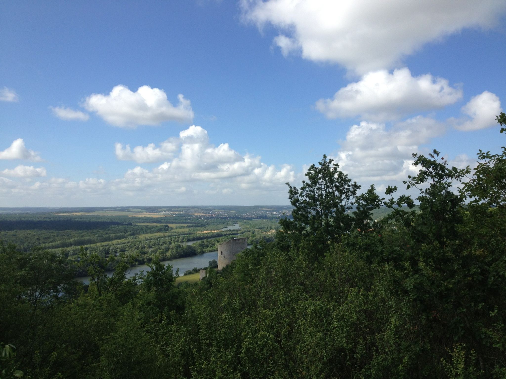
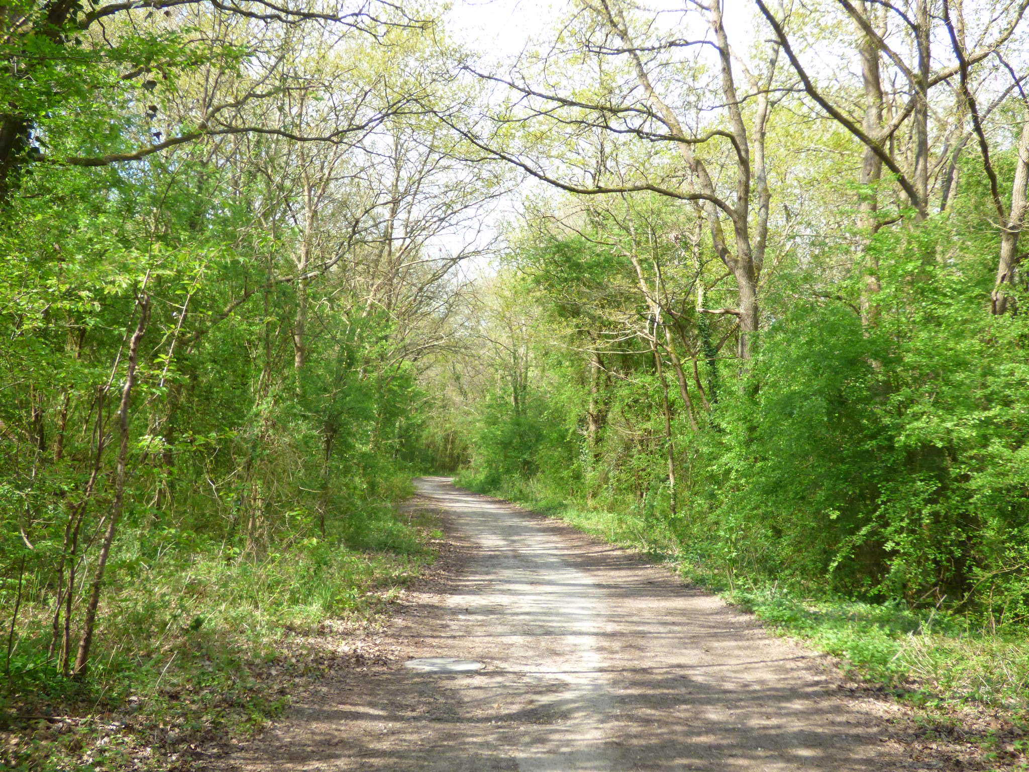
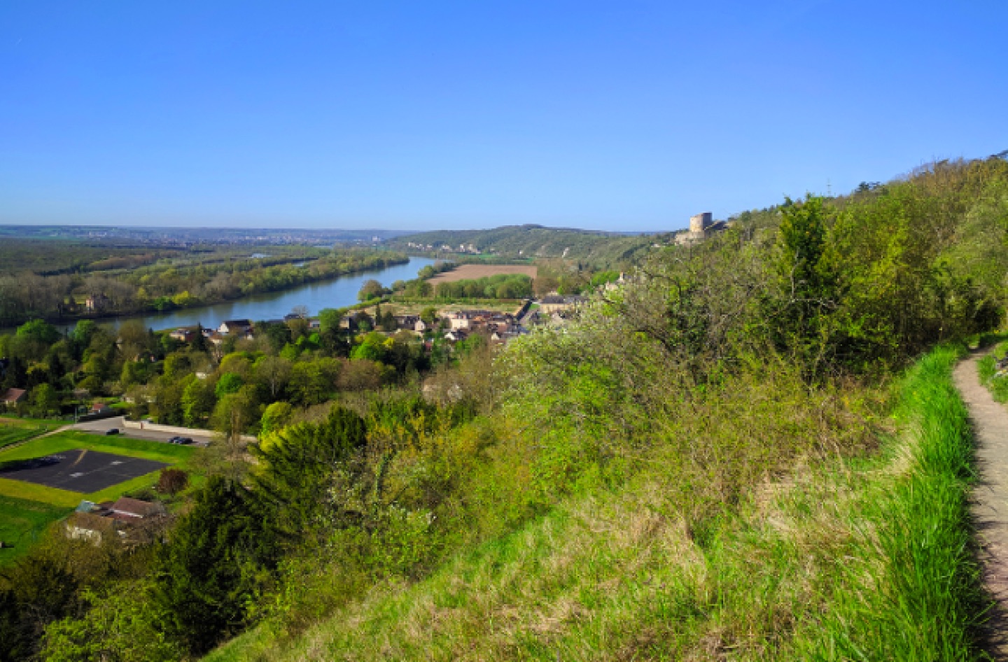
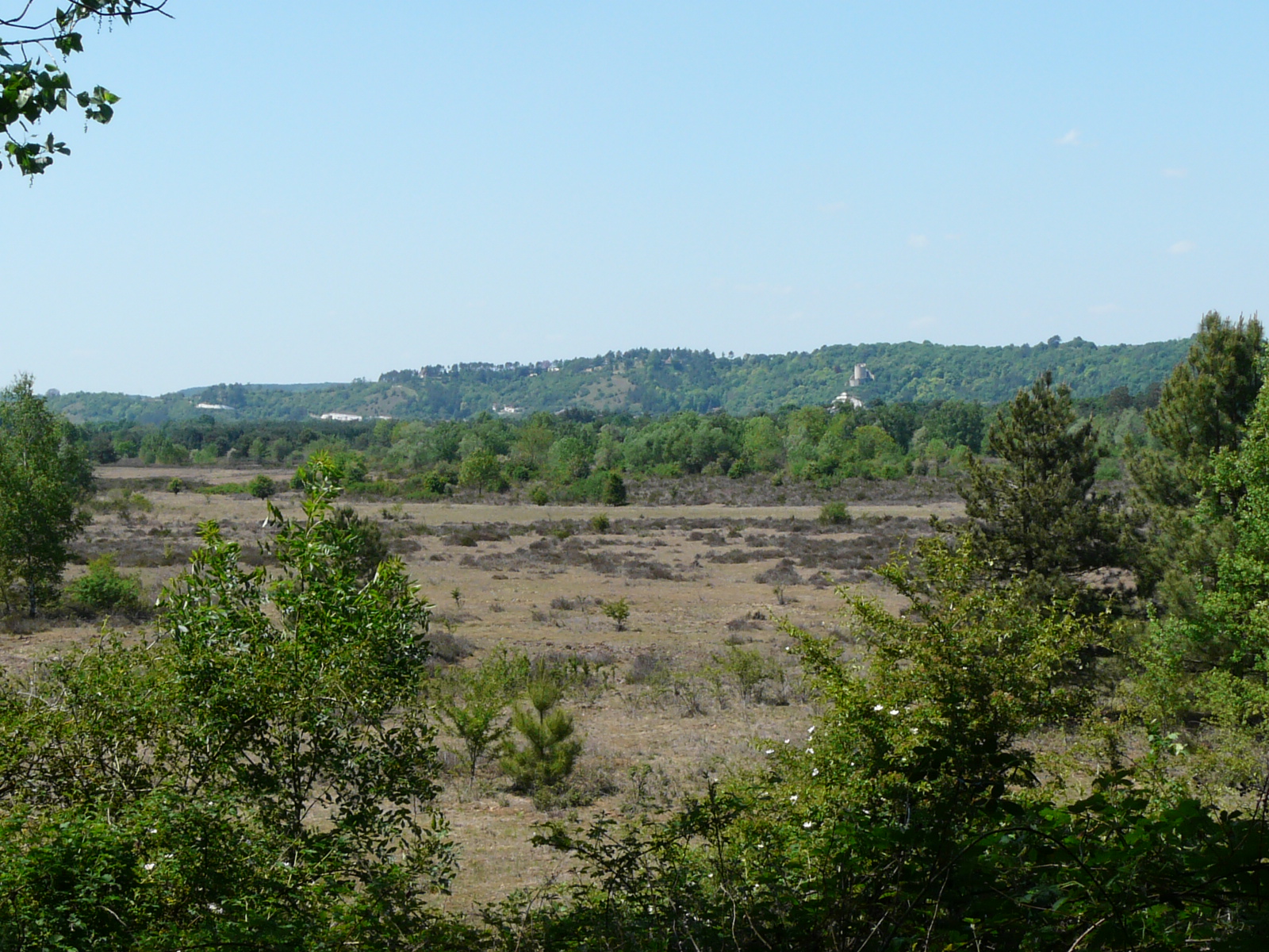
The Moisson loop presents original landscapes: moors, lawns and rare woodlands. All this with the cliffs of the hillsides of the Seine in the background.

Already more than 200,000 users!
Uphill
60m
Highest point
67m
Downhill
58m
Lowest point
16m
Route type
Loop
Download the map on your smartphone to save battery and rest assured to always keep access to the route, even without signal.
Includes IGN France and Swisstopo.
I indicate whether dogs are allowed or prohibited on this trail
All year
0 ratings
Also enjoy:

Already more than 200,000 users!