Uphill
174m
France > Hauts-de-France > Pas-de-Calais > Caps et Marais d'Opale Nature Park
Length
11km
Duration
3h30min
Elev gain
174m
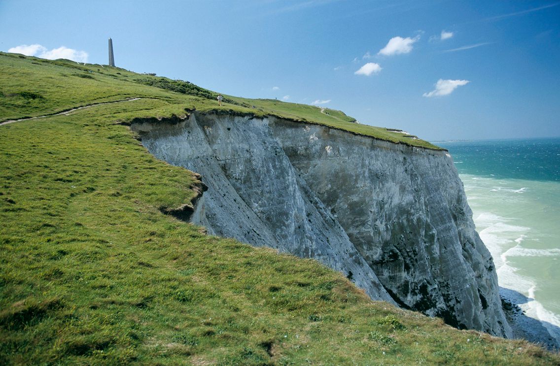
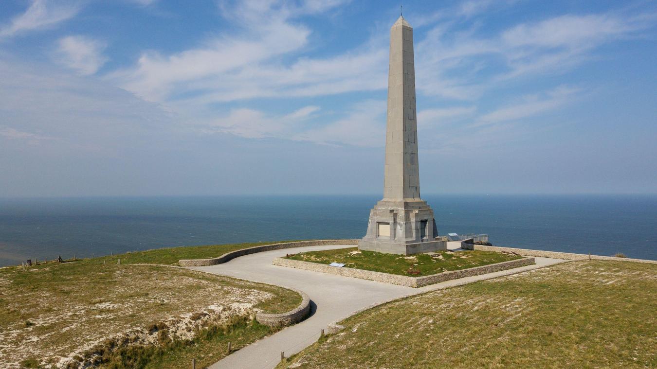
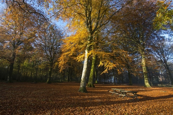
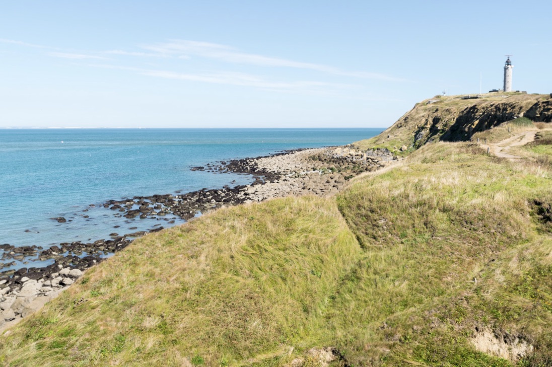
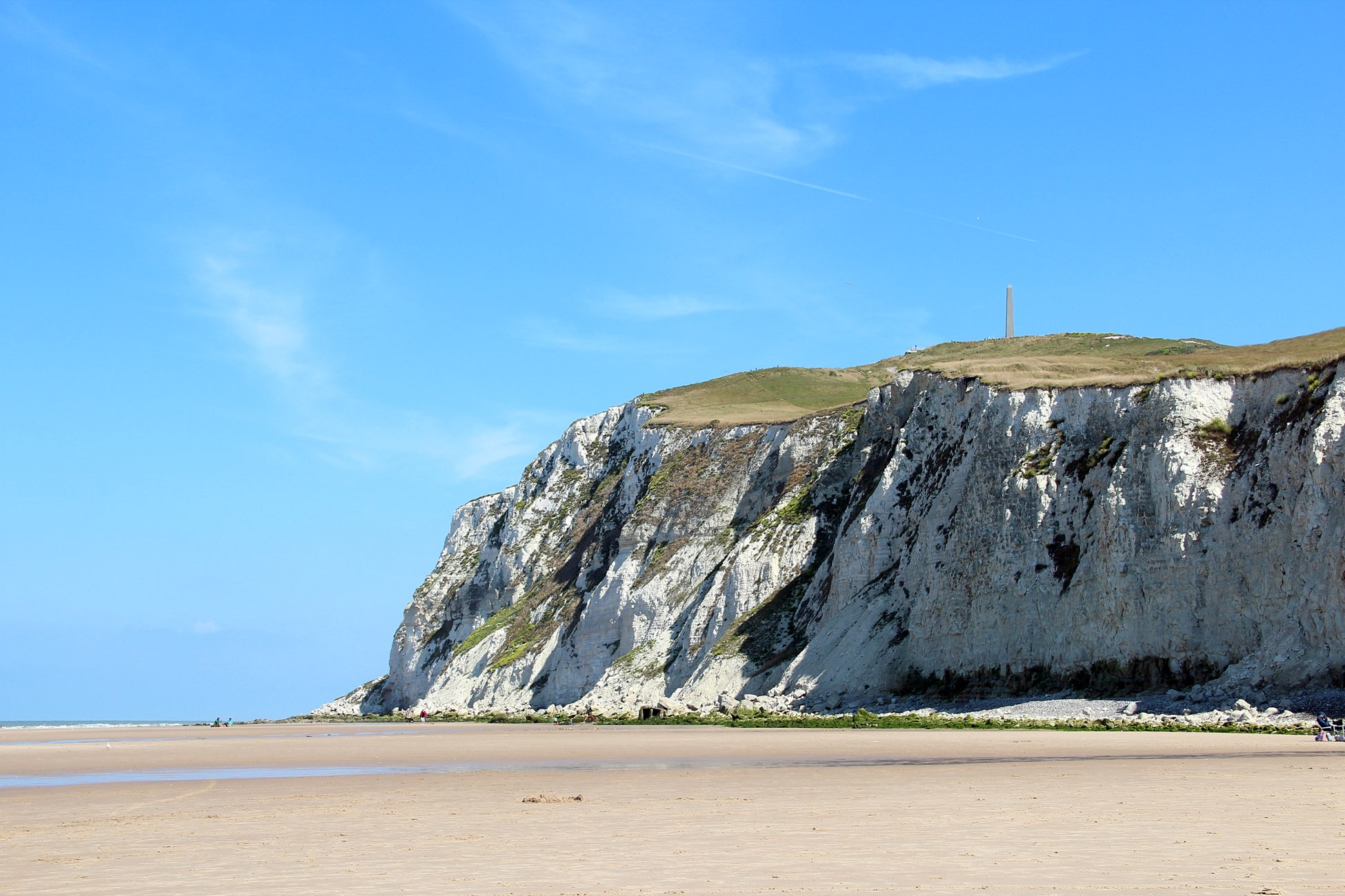
This route around Cape Blanc-Nez offers pretty views of the cliffs, Cape Gris-Nez and the English coast. The return takes place in the Boulogne countryside.

Already more than 200,000 users!
Uphill
174m
Highest point
139m
Downhill
174m
Lowest point
7m
Route type
Loop
Download the map on your smartphone to save battery and rest assured to always keep access to the route, even without signal.
Includes IGN France and Swisstopo.
I indicate whether dogs are allowed or prohibited on this trail
All year
7 ratings
Sentie actuellement fermé
L’aller sur les hauteurs des falaises est un pur bonheur. Le retour par les terres est plus banal. Mais le tout constitue une très agréable balade sans difficulté particulière.
Also enjoy:

Already more than 200,000 users!