Uphill
112m
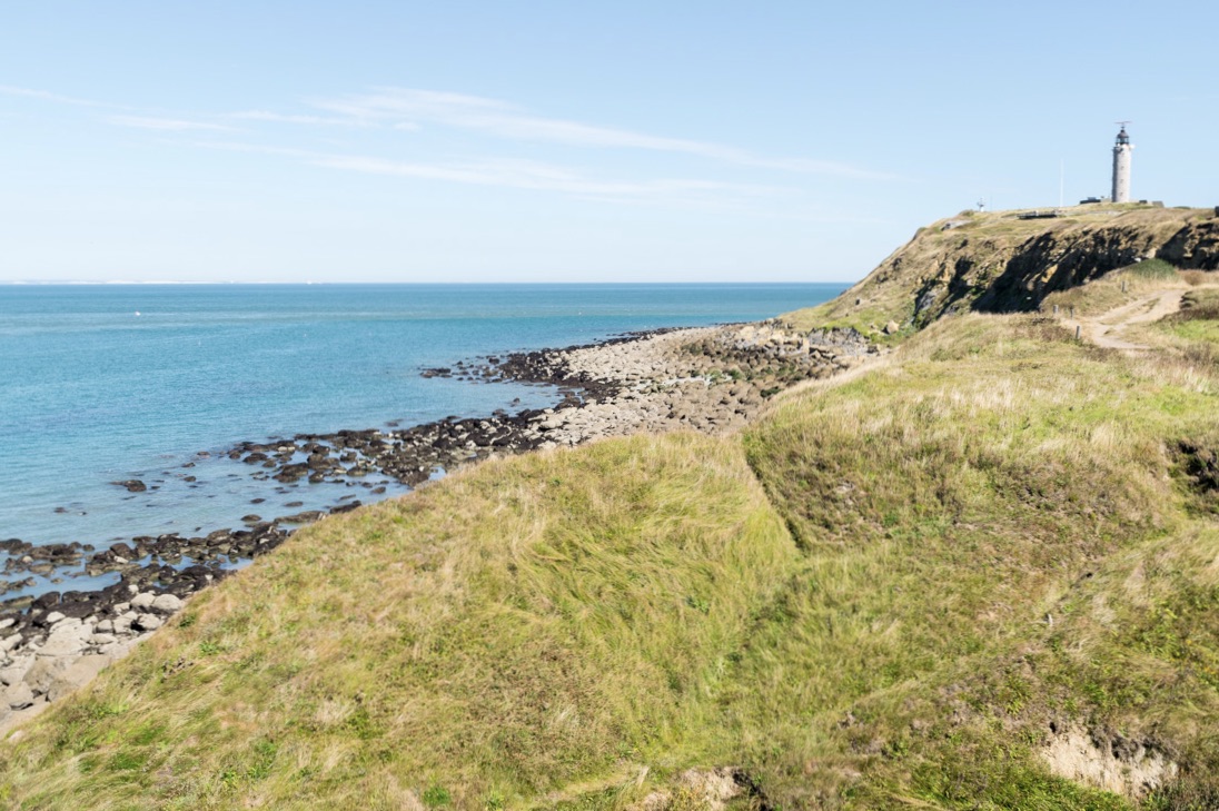
France > Hauts-de-France > Pas-de-Calais > Caps et Marais d'Opale Nature Park
Length
5km
Duration
1h30min
Elev gain
112m
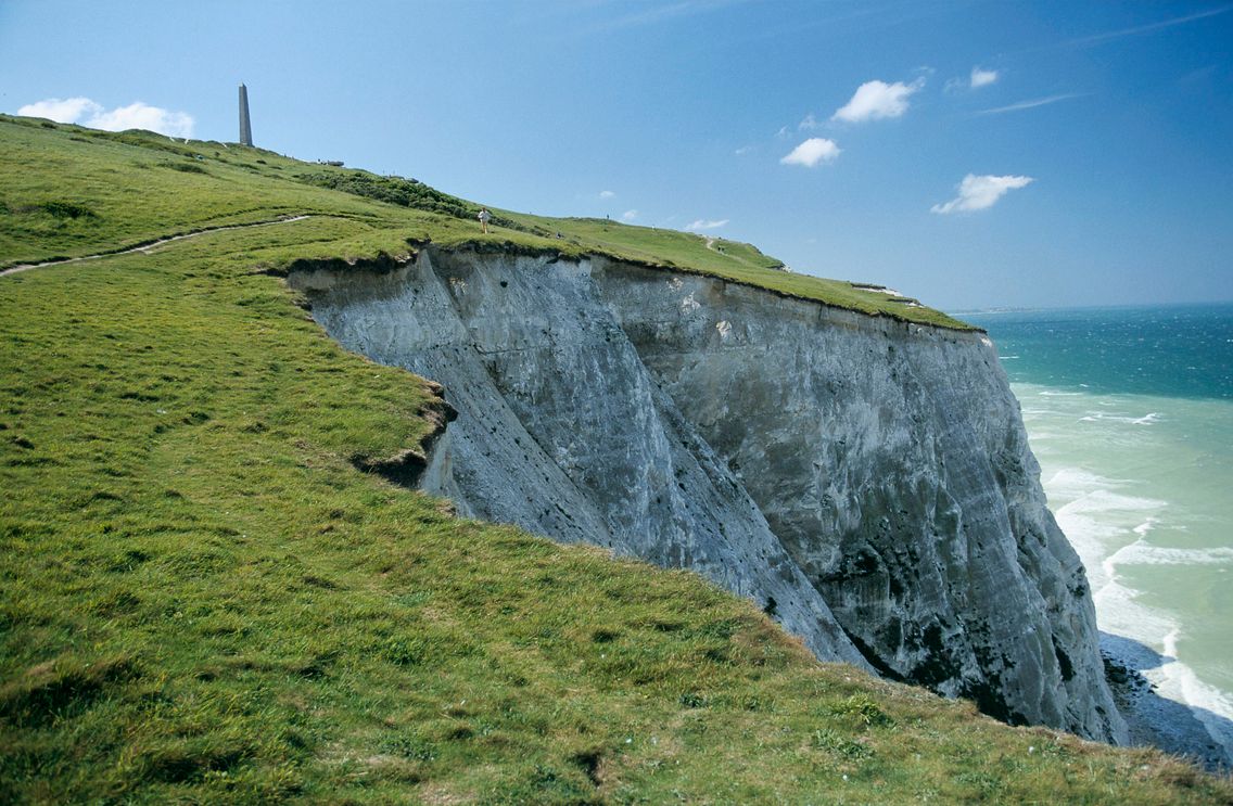
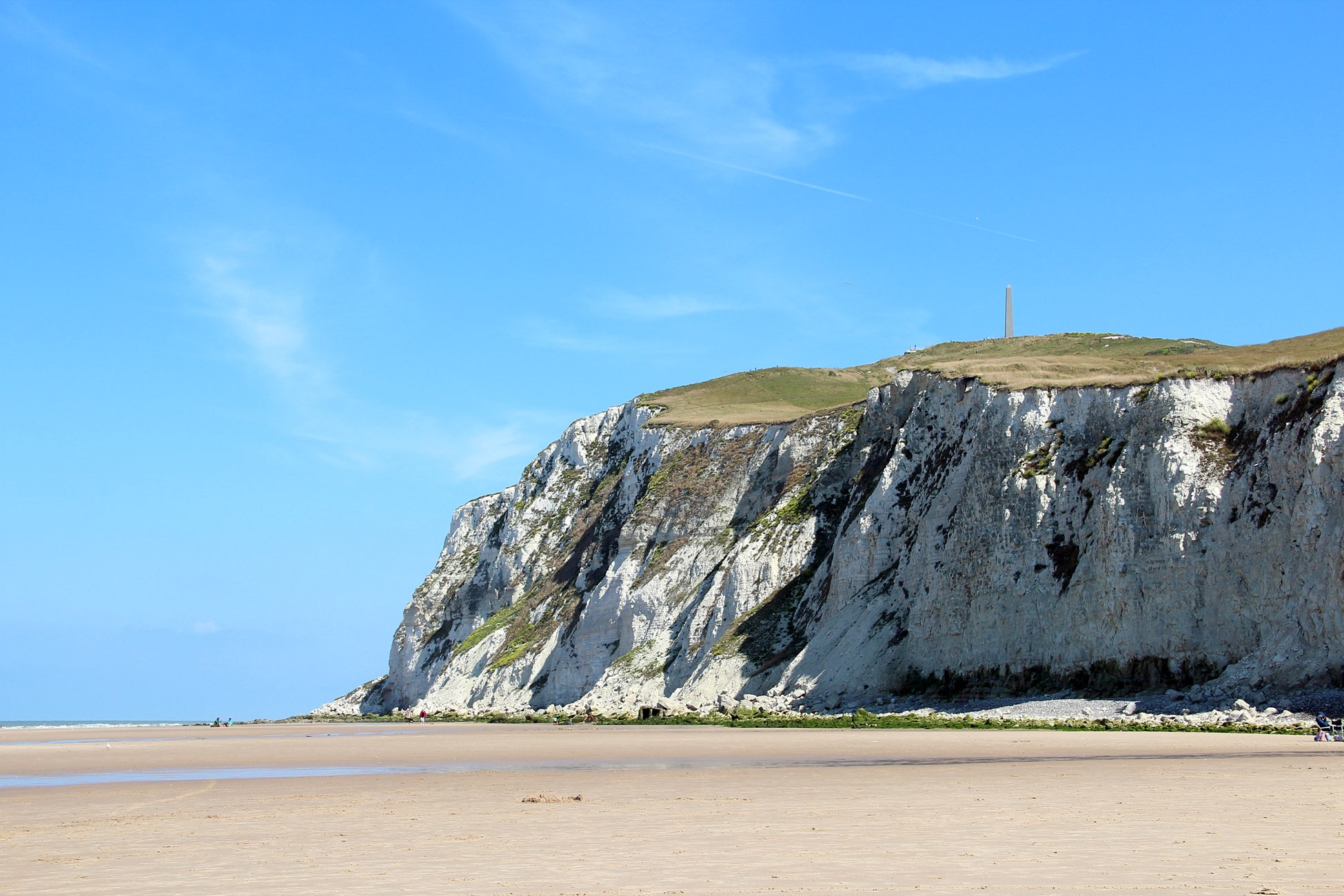
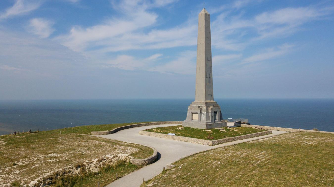
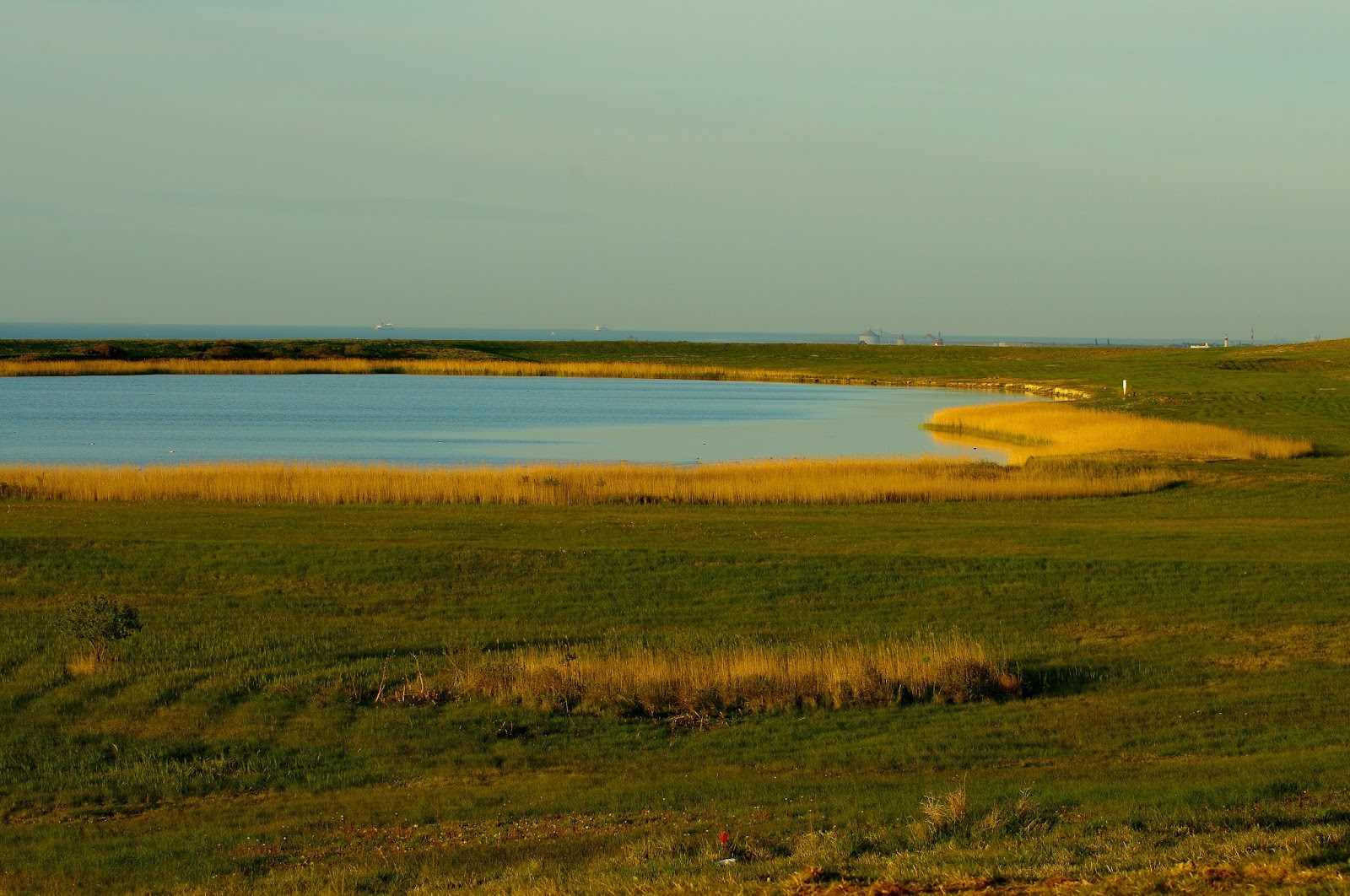
Departing from Sangatte, this trail goes around Fond-Pignon, an artificial lake created during the construction of the Channel Tunnel. It has pretty colors, a stone's throw from Cap Blanc-Nez.

Already more than 200,000 users!
Uphill
112m
Highest point
135m
Downhill
112m
Lowest point
17m
Route type
Loop
Download the map on your smartphone to save battery and rest assured to always keep access to the route, even without signal.
Includes IGN France and Swisstopo.
I indicate whether dogs are allowed or prohibited on this trail
All year
1 rating
Also enjoy:

Already more than 200,000 users!