Uphill
19m
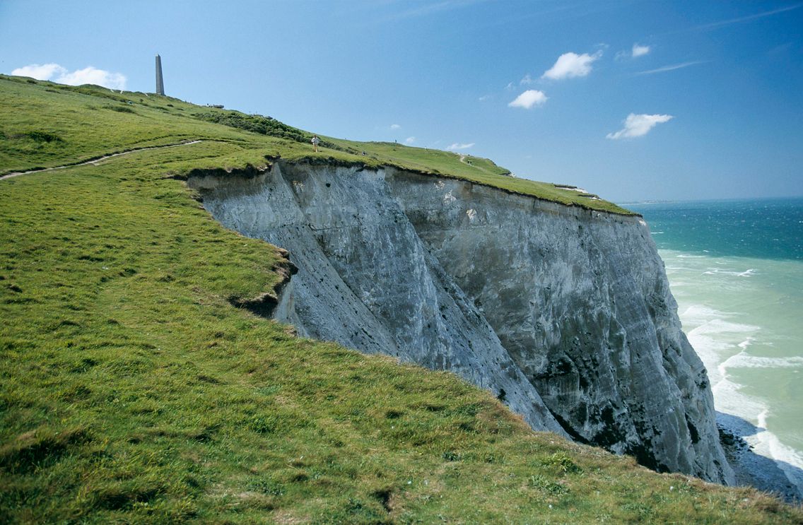
France > Hauts-de-France > Pas-de-Calais > Caps et Marais d'Opale Nature Park
Length
5km
Duration
1h30min
Elev gain
19m
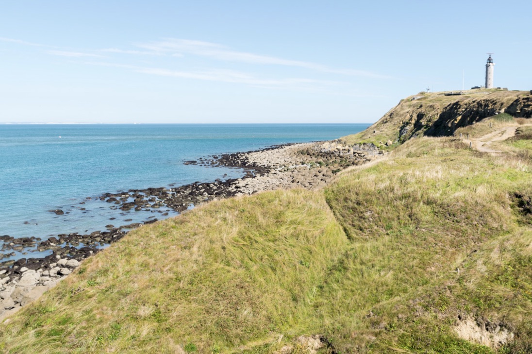
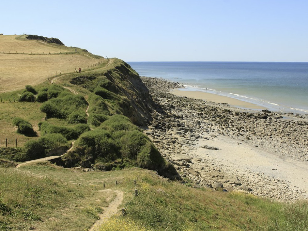
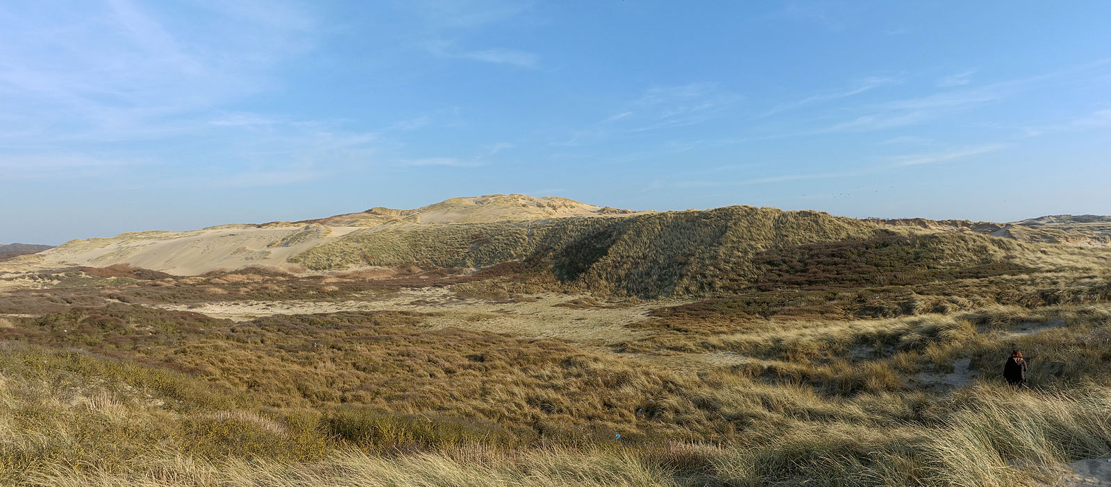
This route allows you to discover the largest dune massif in Pas-de-Calais, at the mouth of the Slack.
Rich flora and fauna, lovely sea views, sandy paths... This is a beautiful setting for a day by the sea.

Already more than 200,000 users!
Uphill
19m
Highest point
34m
Downhill
19m
Lowest point
8m
Route type
Loop
Download the map on your smartphone to save battery and rest assured to always keep access to the route, even without signal.
Includes IGN France and Swisstopo.
I indicate whether dogs are allowed or prohibited on this trail
All year
2 ratings
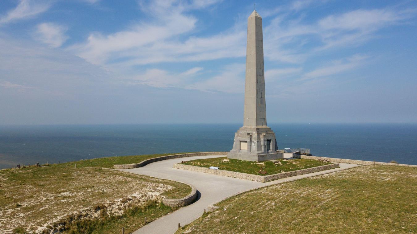
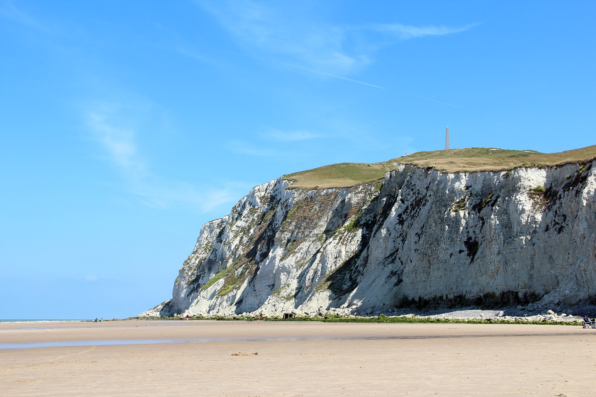
Also enjoy:

Already more than 200,000 users!