Uphill
21m
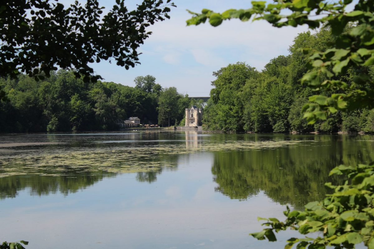
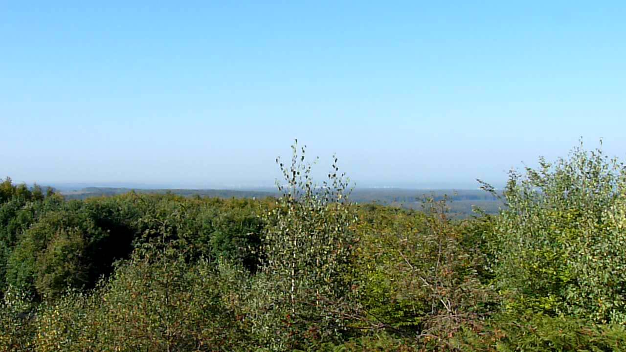
France > Hauts-de-France > Oise > Oise-Pays de France Nature Park
Length
4km
Duration
1h
Elev gain
21m
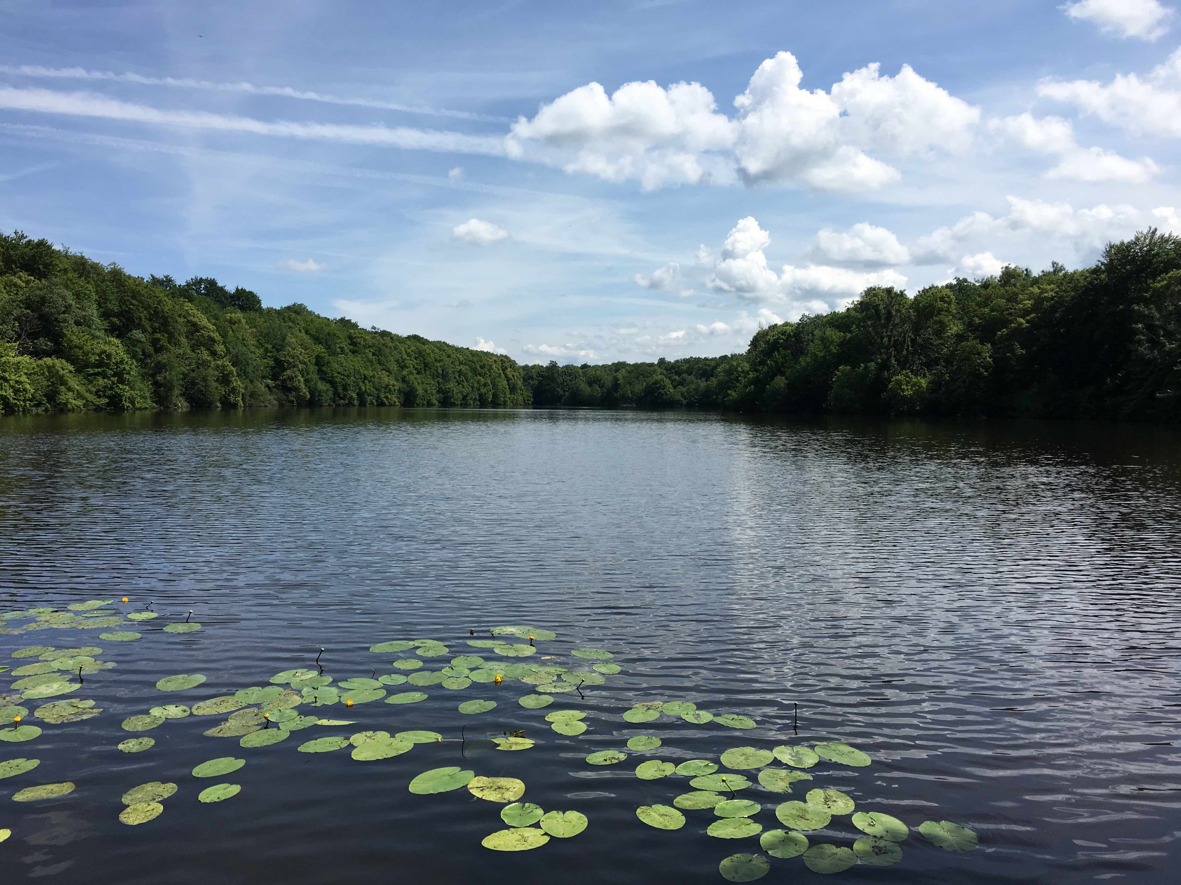
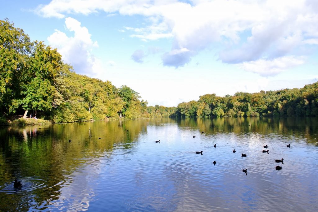
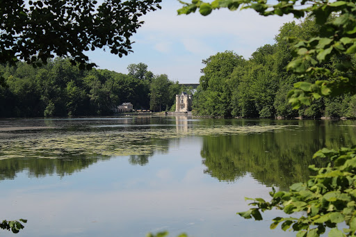
Relaxing loop around the four ponds of Commelles in the heart of the Chantilly forest. Expect birds, frogs and the possibility to enjoy a small restaurant on the shore!

Already more than 200,000 users!
Uphill
21m
Highest point
64m
Downhill
21m
Lowest point
37m
Route type
Loop
Download the map on your smartphone to save battery and rest assured to always keep access to the route, even without signal.
Includes IGN France and Swisstopo.
I indicate whether dogs are allowed or prohibited on this trail
All year
2 ratings
Also enjoy:

Already more than 200,000 users!