Uphill
145m
France > Hauts-de-France > Oise > Oise-Pays de France Nature Park
Length
7km
Duration
2h
Elev gain
145m
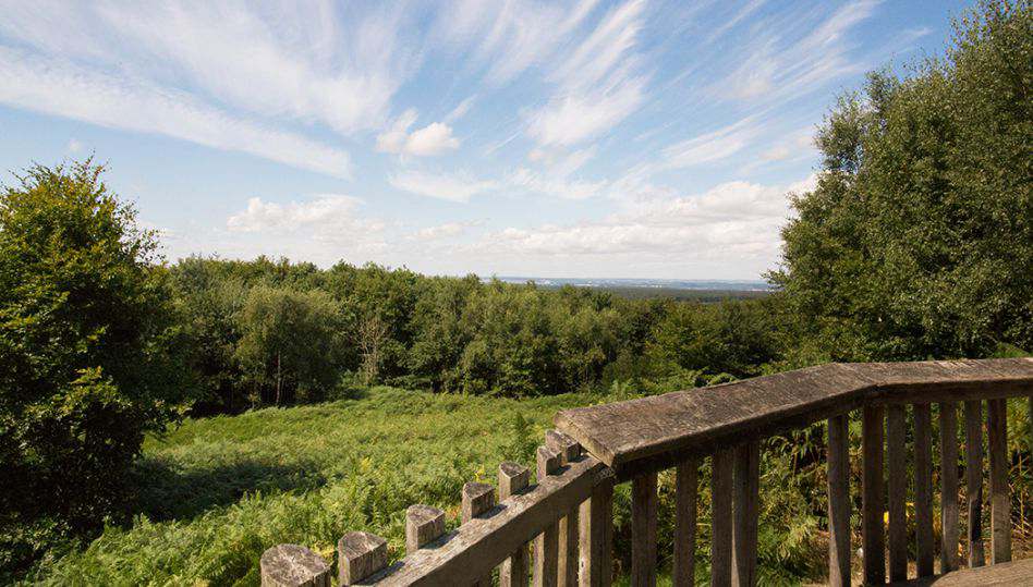
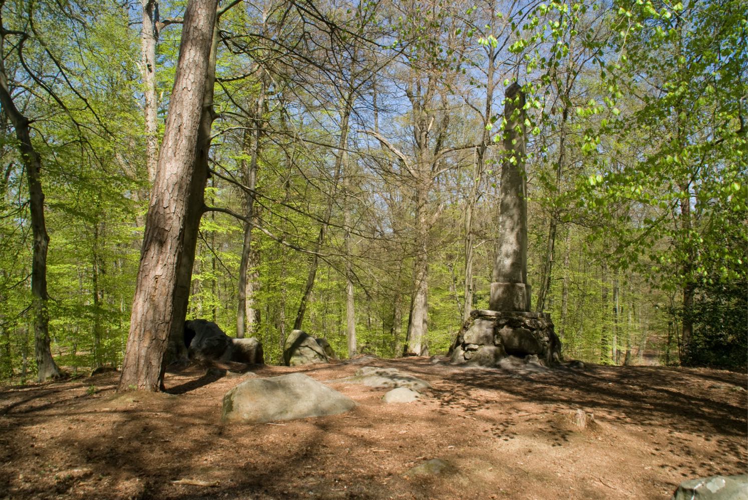
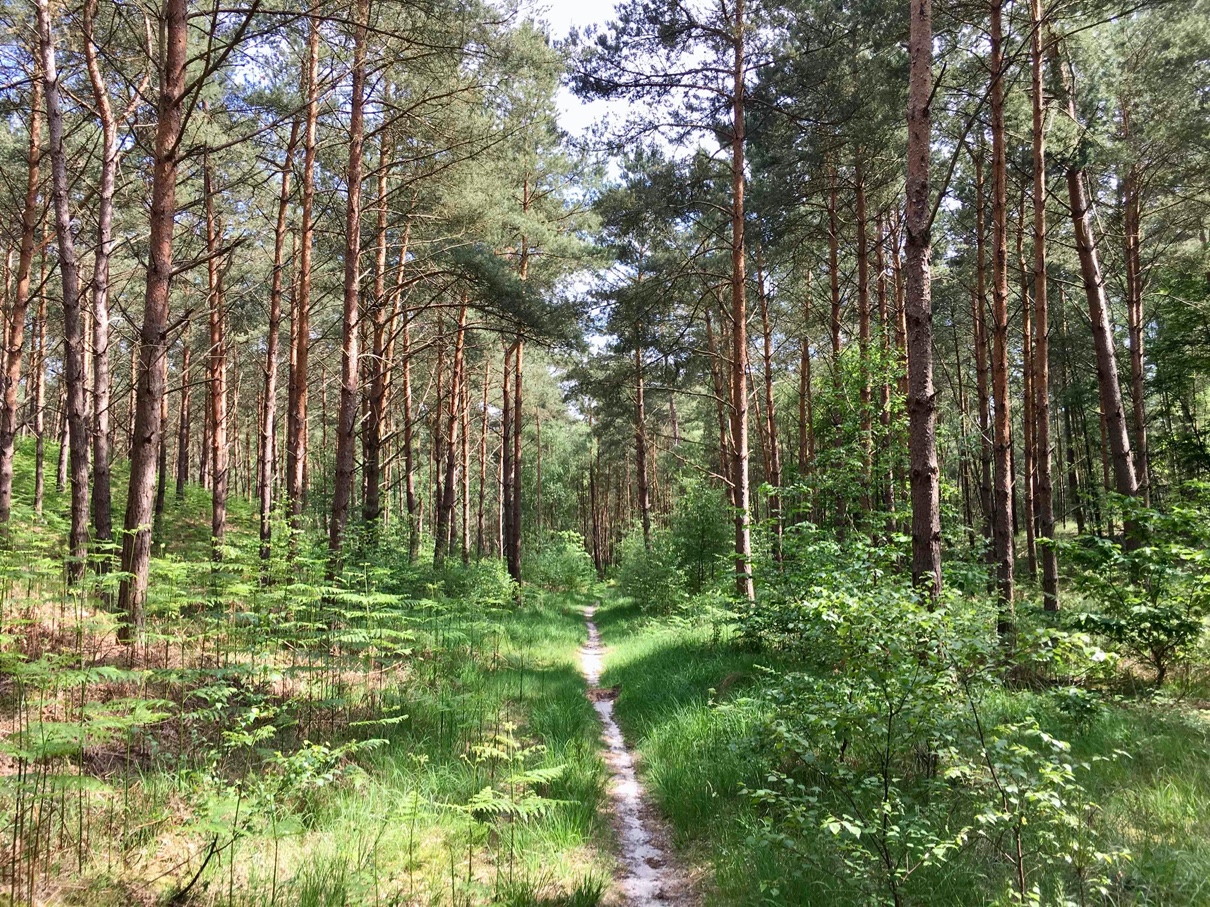
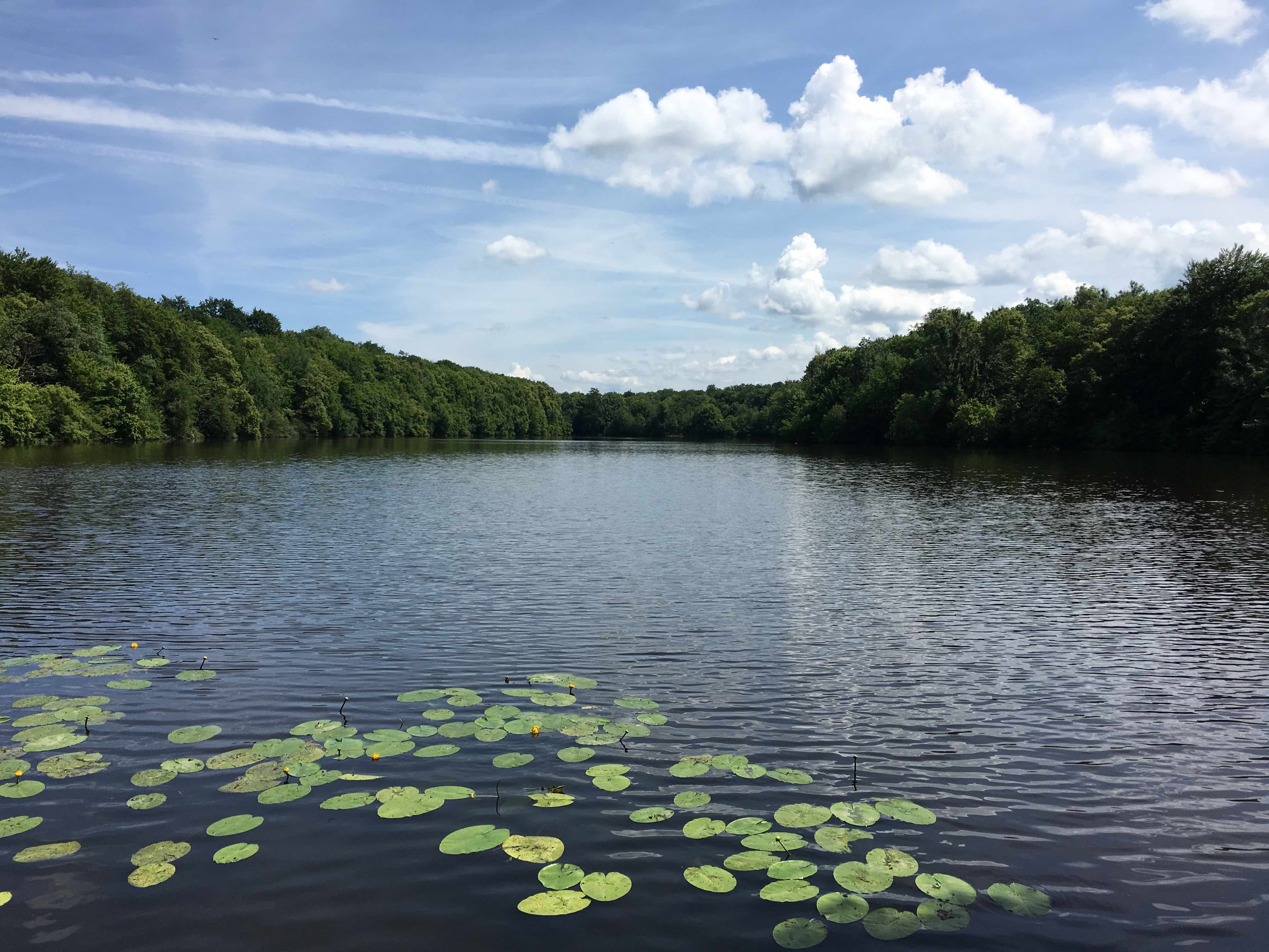
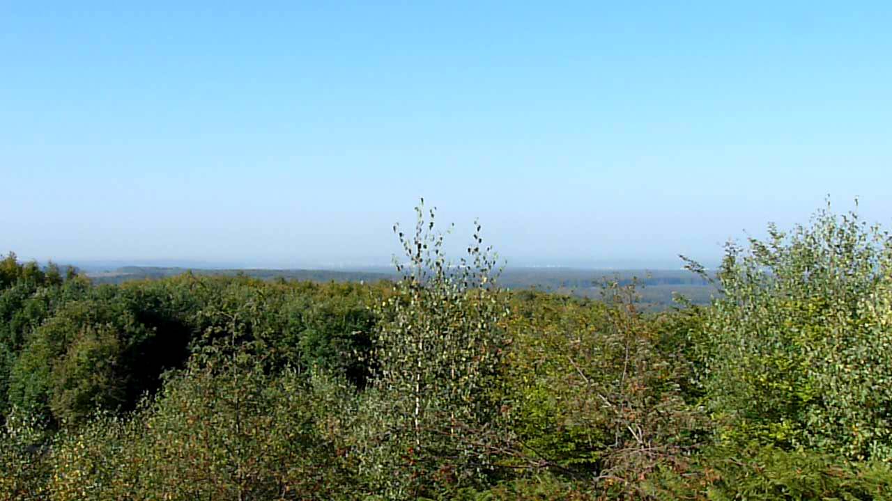
In the heart of the Halatte forest, this trail is surrounded by nature. Beautiful view at the top of Mont Pagnotte.

Already more than 200,000 users!
Uphill
145m
Highest point
217m
Downhill
145m
Lowest point
100m
Route type
Loop
Download the map on your smartphone to save battery and rest assured to always keep access to the route, even without signal.
Includes IGN France and Swisstopo.
I indicate whether dogs are allowed or prohibited on this trail
All year
1 rating
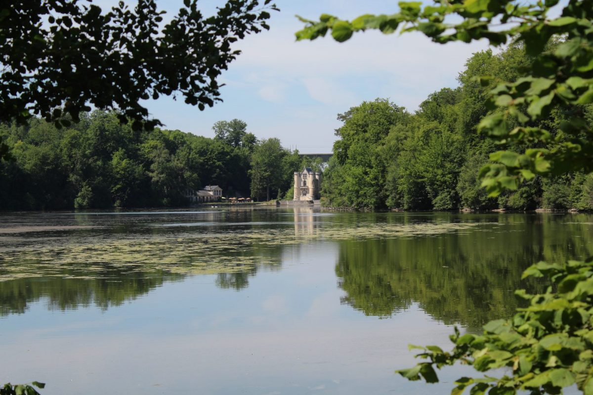
Also enjoy:

Already more than 200,000 users!