Uphill
135m
France > Hauts-de-France > Oise > Oise-Pays de France Nature Park
Length
8km
Duration
2h30min
Elev gain
135m
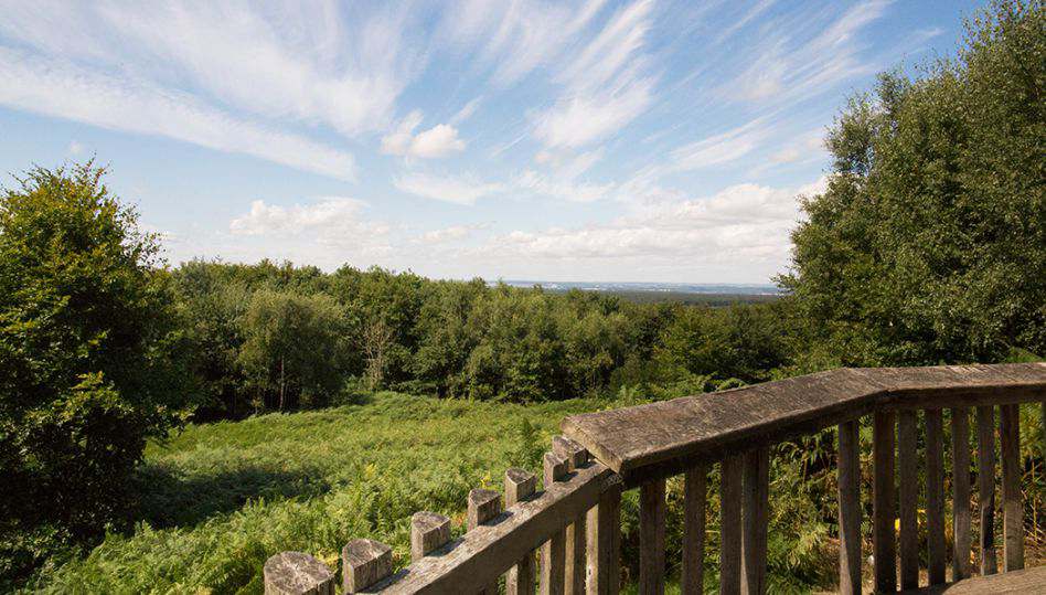
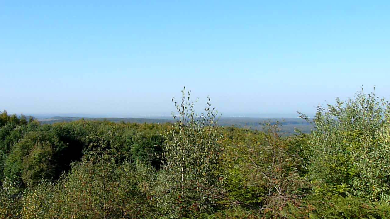
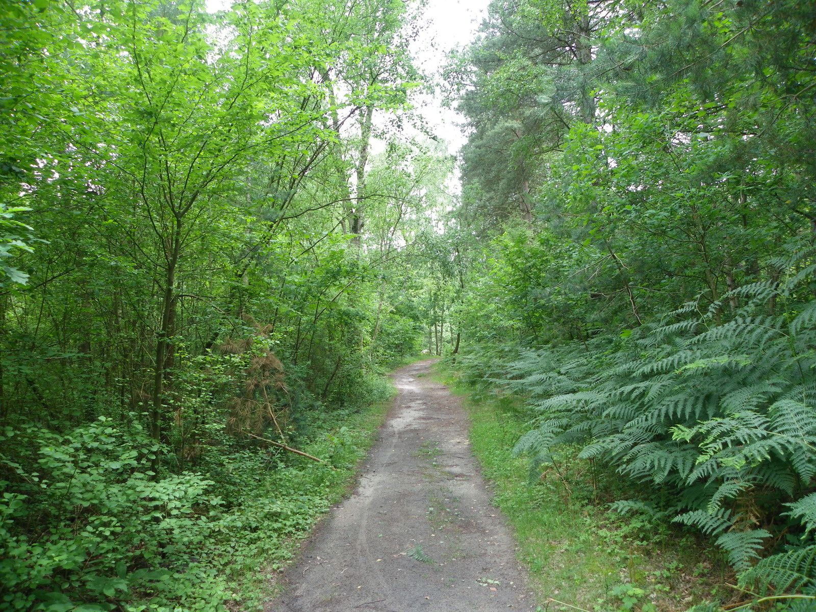
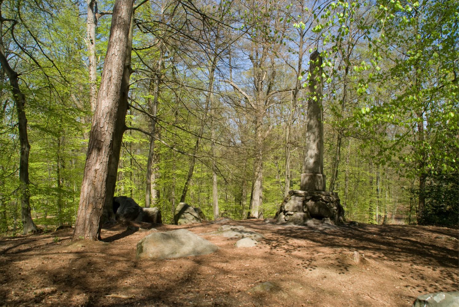
Departing from Villeneuve-sur-Verberie, a short walk in the forest to Mont Pagnotte (222 m). This one offers a shy panorama because of its limite height, but the place is pleasant.

Already more than 200,000 users!
Uphill
135m
Highest point
243m
Downhill
135m
Lowest point
110m
Route type
Loop
Download the map on your smartphone to save battery and rest assured to always keep access to the route, even without signal.
Includes IGN France and Swisstopo.
I indicate whether dogs are allowed or prohibited on this trail
All year
0 ratings
Also enjoy:

Already more than 200,000 users!