Uphill
302m
Length
15km
Duration
4h30min
Elev gain
302m
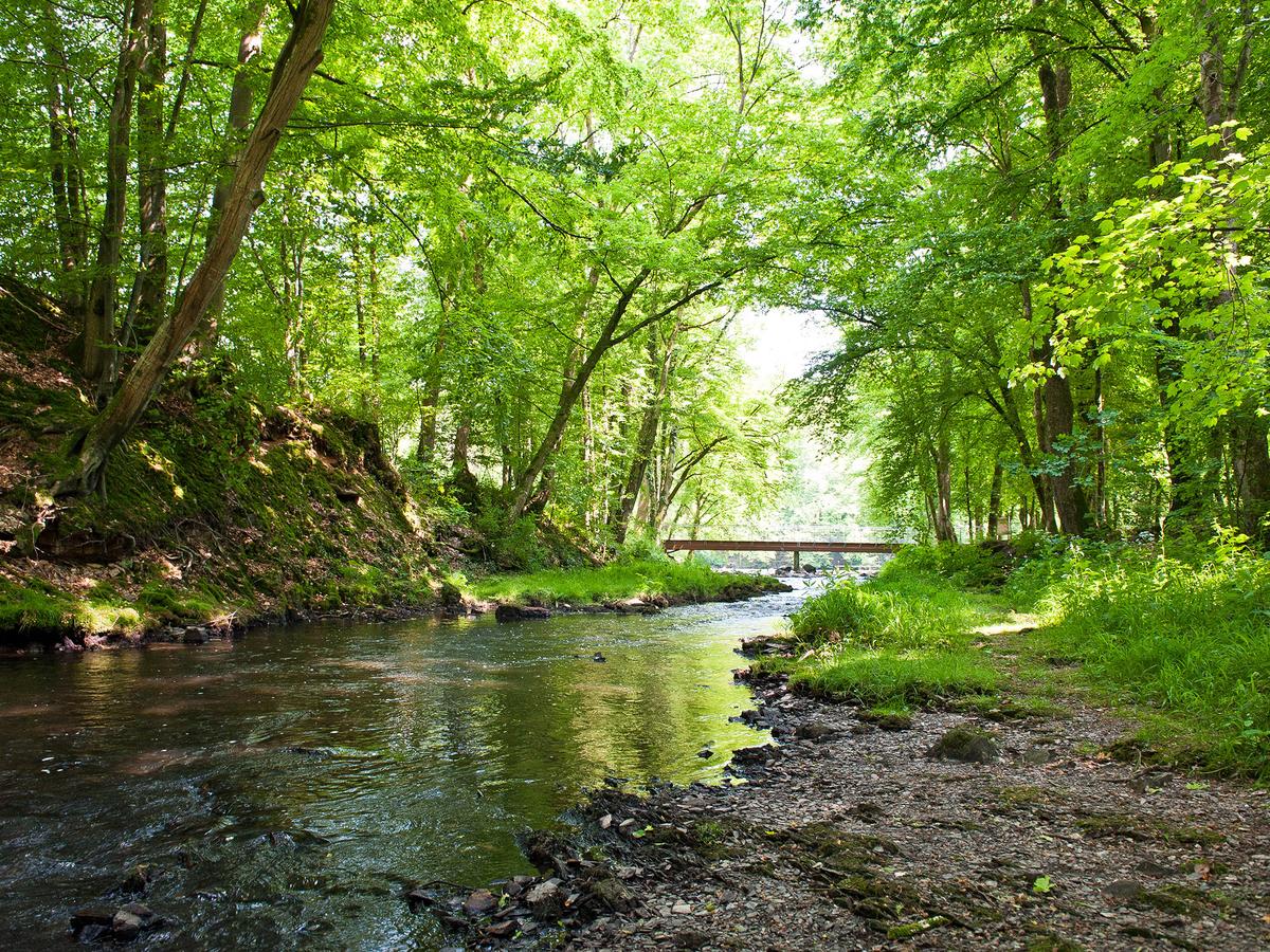
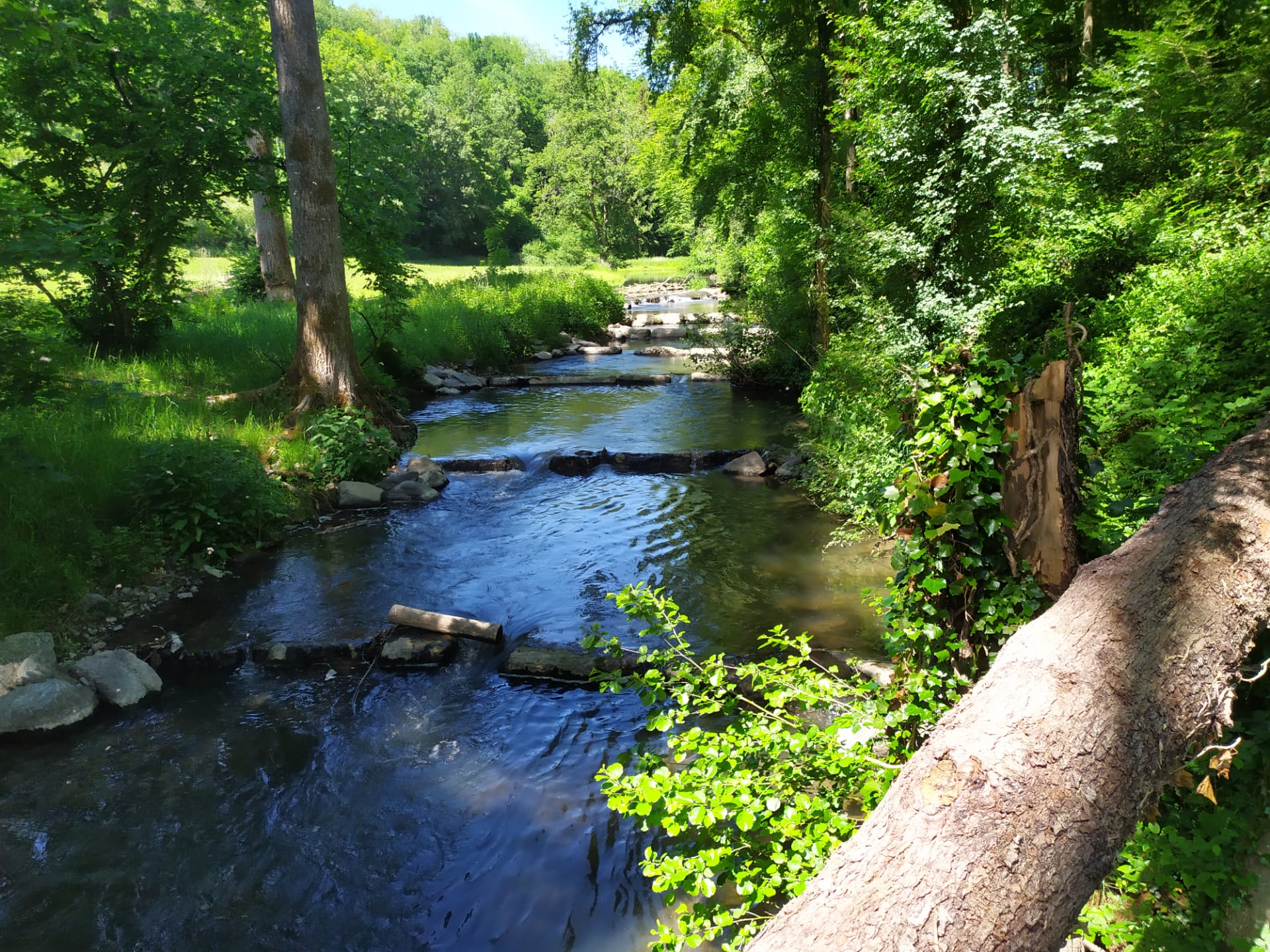
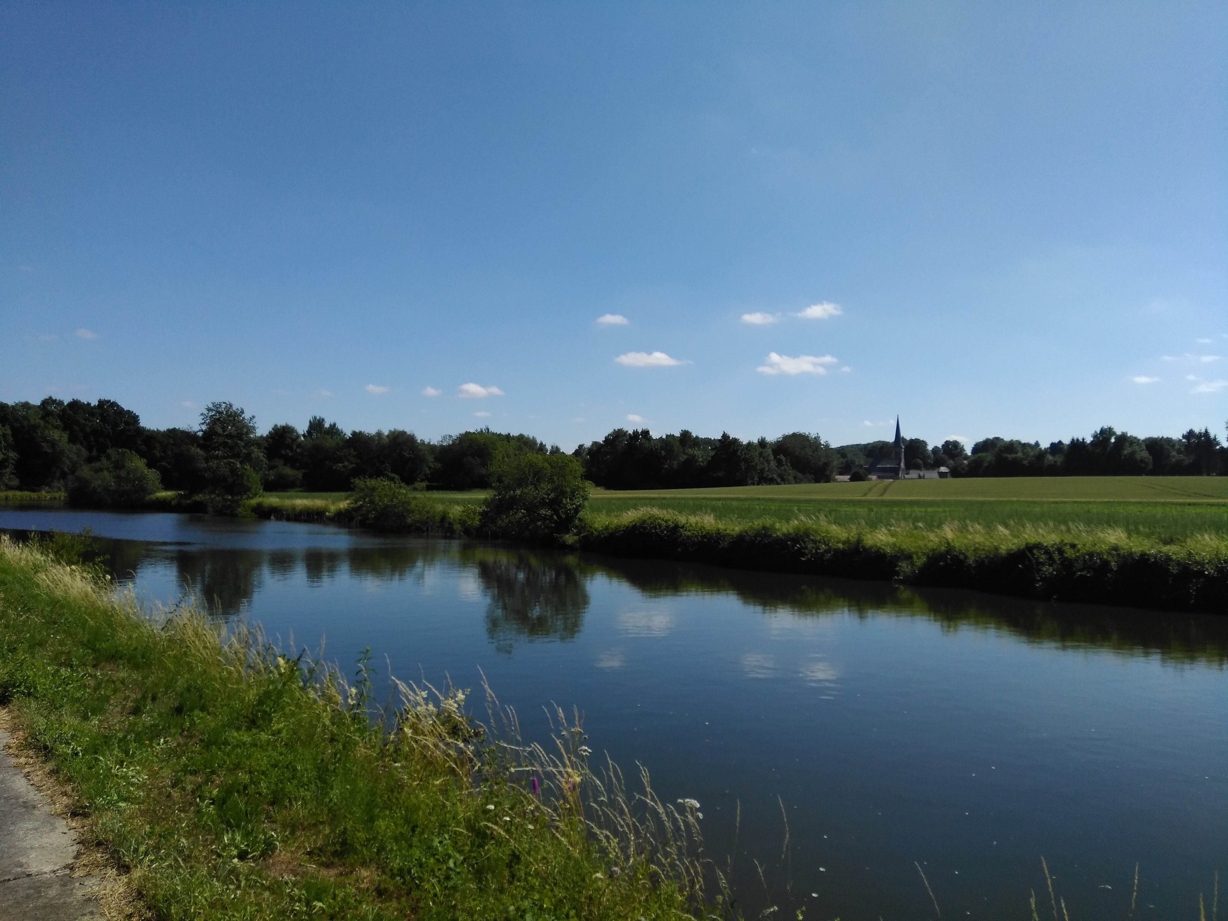
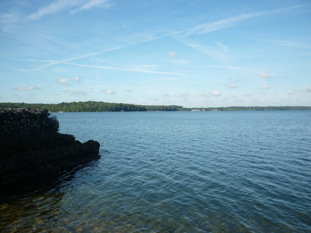
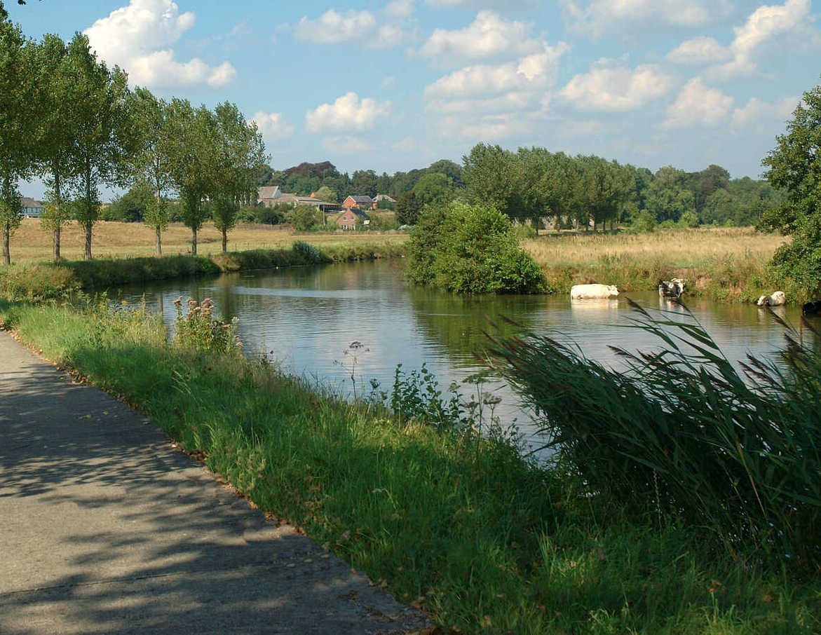
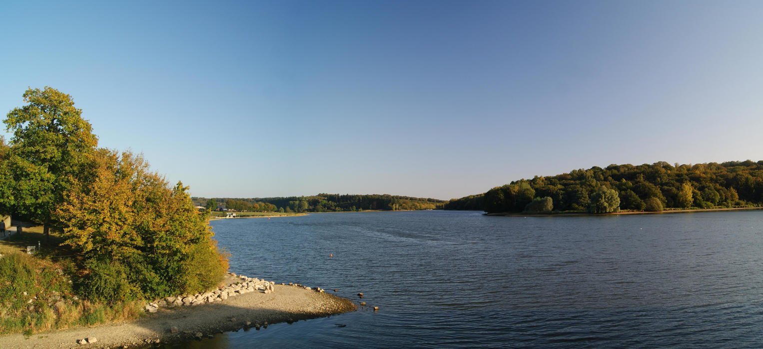
Varied hike around the lake of Val Joly, between the water, the grove, the hamlets and the forest.

Already more than 200,000 users!
Uphill
302m
Highest point
249m
Downhill
302m
Lowest point
153m
Route type
Loop
Download the map on your smartphone to save battery and rest assured to always keep access to the route, even without signal.
Includes IGN France and Swisstopo.
I indicate whether dogs are allowed or prohibited on this trail
All year
0 ratings
Also enjoy:

Already more than 200,000 users!