Uphill
71m
Length
5km
Duration
1h30min
Elev gain
71m
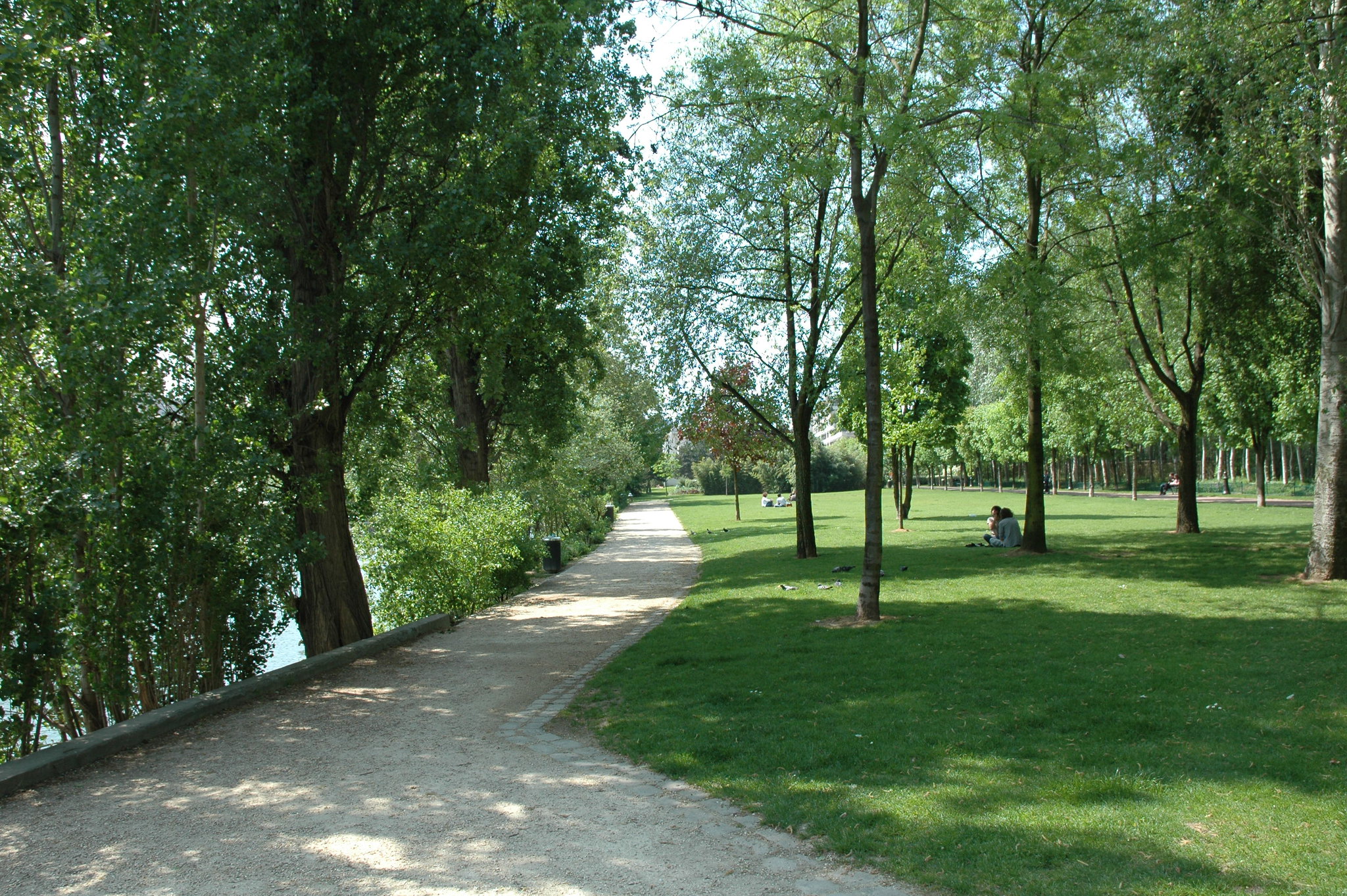
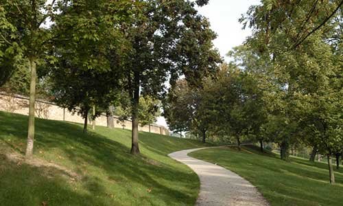
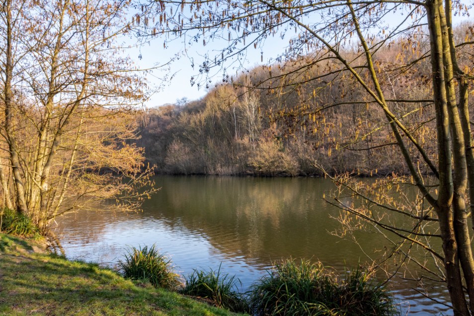
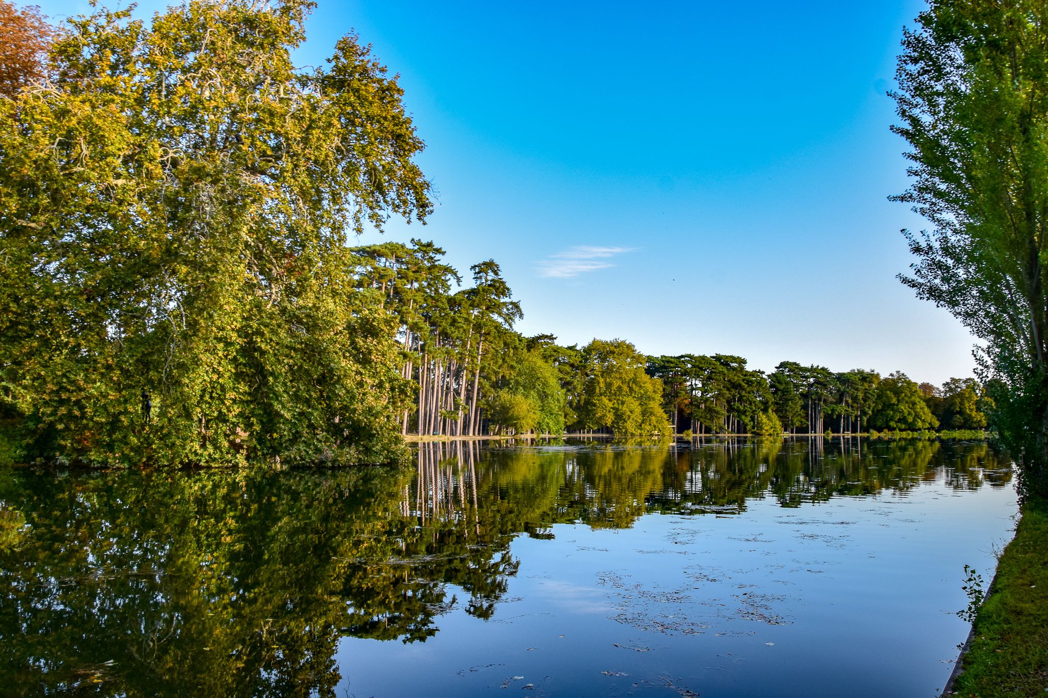
Departing from Porte Dauphine, this is a short walk around the Lac Inférieur in the Bois de Boulogne. The trail also allows you to discover a stream and several small waterfalls.

Already more than 200,000 users!
Uphill
71m
Highest point
69m
Downhill
71m
Lowest point
18m
Route type
Loop
Download the map on your smartphone to save battery and rest assured to always keep access to the route, even without signal.
Includes IGN France and Swisstopo.
I indicate whether dogs are allowed or prohibited on this trail
All year
1 rating
Sympa lorsqu’on souhaite avoir accès à la nature sans s’éloigner de Paris. Le lac est joli et bien aménagé.
Par contre, un peu trop de monde à mon goût. Et ce serait plus sympa si le bois n’était pas traversé par de nombreuses routes.
Also enjoy:

Already more than 200,000 users!